Drone Photography for Real Estate: Capturing New Perspectives in NYC
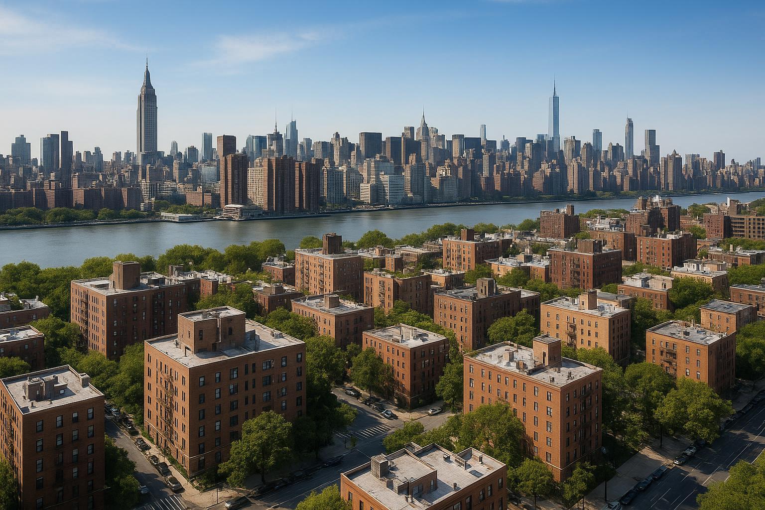
Drone photography captures a sweeping view of urban real estate with towering buildings in the background and a river dividing the cityscape.
Drone Photography Real Estate: Transforming NYC Listings with Aerial Real Estate Media
RealtaSnap’s drone photography real estate services are redefining what’s possible for real estate marketing in NYC, offering high-impact aerial real estate visuals that capture attention and set listings apart. In this post, discover how real estate aerials are raising the bar for both residential and commercial properties, why professional standards matter, and how you can leverage RealtaSnap’s expertise for your next listing.
The Problem: Standing Out in NYC’s Crowded Real Estate Market
In the fast-paced world of New York City real estate, agents and property owners face intense competition. Urban density, a never-ending stream of new listings, and the challenge of presenting properties in their best light make it difficult to grab — and keep — buyer attention. Traditional ground-level photos often fail to showcase the true scale, surroundings, and unique features that make each property distinct. Without compelling visuals, even exceptional spaces can get overlooked.
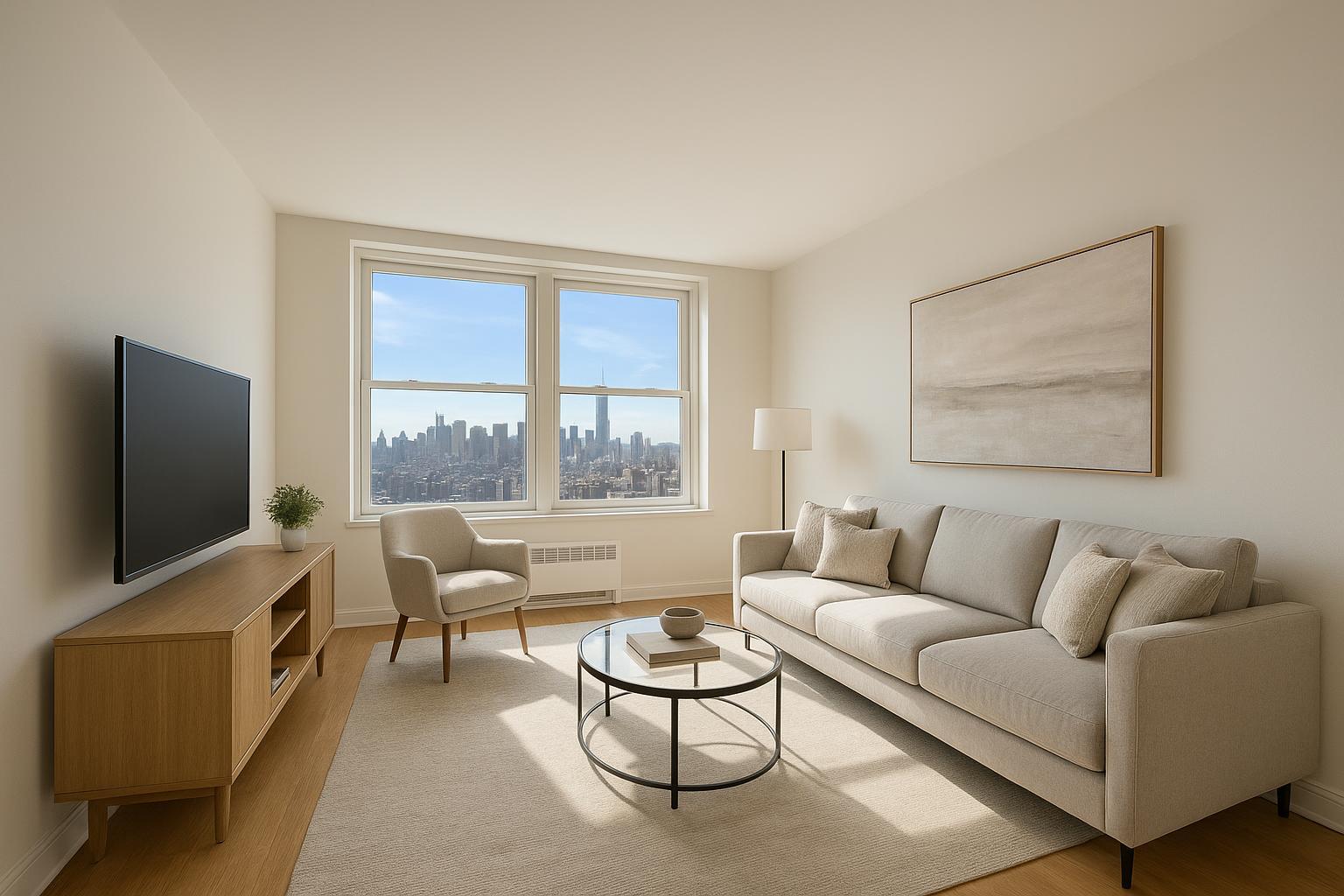
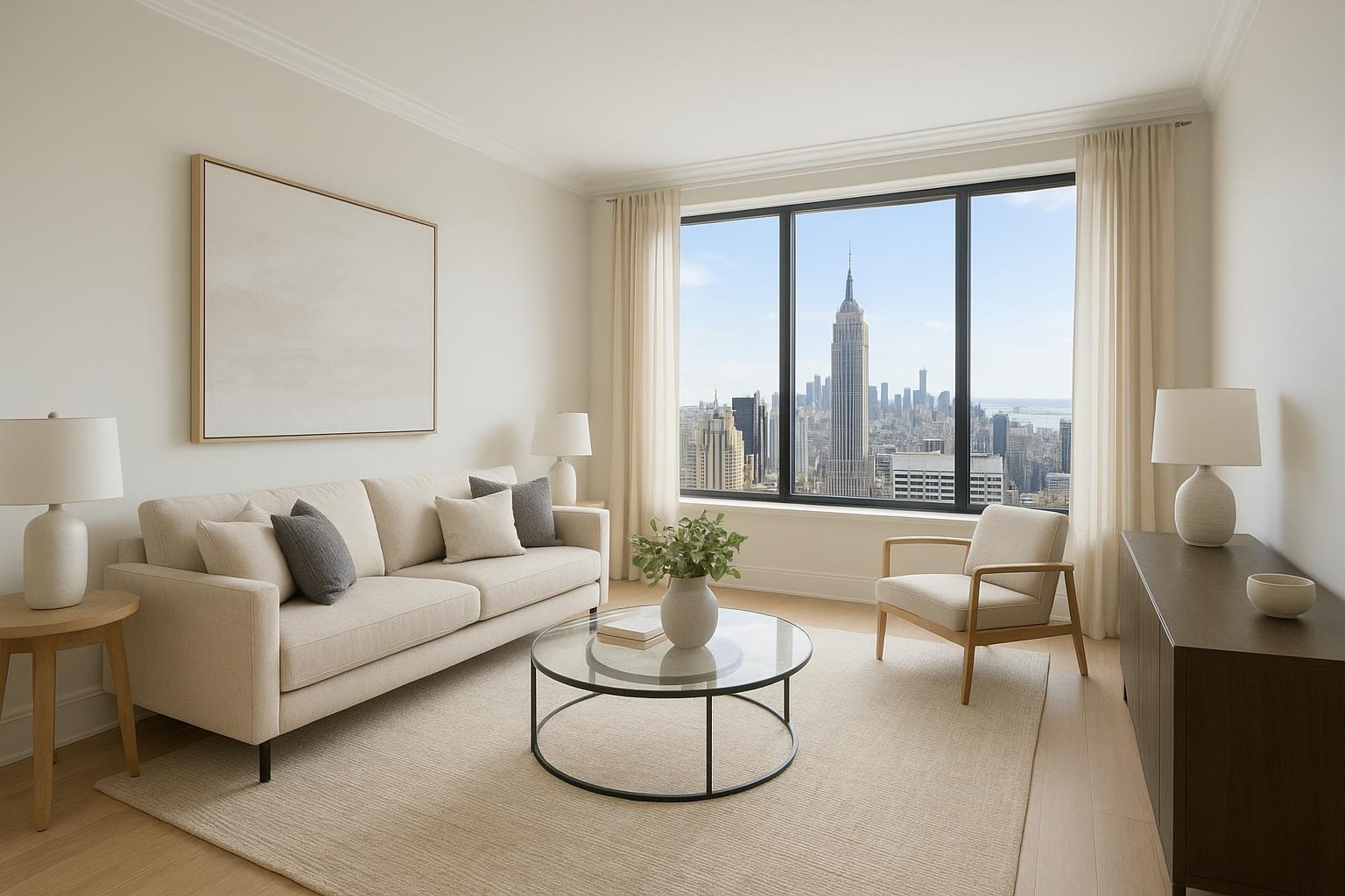
Even for luxury penthouses or landmark commercial buildings, standard photography may not capture the essence of a property’s location, amenities, or architectural strengths. Buyers and tenants expect more: immersive, story-driven media that helps them emotionally connect and visualize possibilities from the very first glance.
How RealtaSnap Solves It: Drone Photography for Unmatched Aerial Views
RealtaSnap specializes in aerial real estate photography and videography that raises the profile of every property. Our expert drone pilots, fully compliant with FAA Part 107 regulations, use state-of-the-art 4K drones to deliver breathtaking perspectives that ground-based cameras simply can’t match【20:10†RealtaSnap_Service_Execution_Policy_MASTER.docx】. Whether you need sweeping panoramas of a luxury residence in Manhattan or dramatic flyovers of a commercial property in Brooklyn, RealtaSnap unlocks the full narrative of your listing.
Residential Use Cases:
- Showcase proximity to parks, water, and neighborhood highlights
- Elevate buildings above neighboring structures for maximum impact
- Capture rooftop amenities, terraces, and private gardens
Commercial Use Cases:
- Present scale and location in the context of business districts and transit hubs
- Reveal property access, parking, and neighboring infrastructure
- Create viral marketing content for office, retail, or mixed-use spaces
Every RealtaSnap drone shoot delivers crystal-clear, high-dynamic-range images as well as blue sky replacements if weather isn’t perfect. You can choose drone photo, video, or photo+video packages for complete flexibility【20:4†RealtaSnap_Rate_Sheet_MASTER.docx】.
Benefits of Choosing RealtaSnap for Drone Photography Real Estate
- HDR drone photos make listings pop, day or dusk
- FAA-certified pilots and full compliance with all NYC regulations
- Options for both residential and commercial listings
- Next-business-day turnaround on all media
- Blue sky replacement and post-production included
- Edit add-ons: virtual twilight, object removal, and more
- Fixed, transparent pricing — no hidden fees (10 photos: $209, video: $229, both: $299; all prices and information are subject to change. Information is deemed reliable but not guaranteed【20:4†RealtaSnap_Rate_Sheet_MASTER.docx】)
- Flexible scheduling with only 24 hours’ notice
- Full online booking and account management capability【20:6†RealtaSnap_Booking_Process_MASTER.docx】
Comparison with Competitors: Why RealtaSnap Wins in NYC
Where traditional services rely on outdated methods or slow delivery times, RealtaSnap gives you a smarter, faster, and more reliable media solution. Our NYC-focused pilots, modern editing workflows, and commitment to compliance mean fewer reshoots, clearer marketing, and a better client experience from start to finish. Unlike services that treat drone work as a mere add-on, RealtaSnap treats aerial media as essential — not optional — for every forward-thinking agent and owner.
Our turnaround is industry-leading: you’ll receive final edited content within 24 hours of your session, even for complex packages, keeping your listing ahead of the competition.
Conclusion & Call to Action
Don’t let your property blend into the crowd. In a city where every angle counts, drone photography real estate from RealtaSnap helps listings leap off the screen and command attention. For both residential and commercial spaces, aerial real estate media is more than an upgrade — it’s a new standard for success in NYC.
Ready to elevate your marketing and see the results for yourself? Learn more about our drone photography and videography options at RealtaSnap’s Drone Services page, or explore everything we offer for real estate photography in NYC.
Frequently Asked Questions
1. Can I use drone photography for any NYC property?
Some neighborhoods have airspace restrictions, and not every location is flyable — but RealtaSnap’s pilots check regulations and handle the details, so you get the safest, most compliant results with no guesswork【20:10†RealtaSnap_Service_Execution_Policy_MASTER.docx】.
2. Isn’t aerial real estate media too expensive for standard listings?
Many suspect that real estate aerials are only for luxury or mega listings, but RealtaSnap’s transparent, flat-rate pricing makes stunning aerials accessible for any property type — so you can wow buyers on any budget【20:4†RealtaSnap_Rate_Sheet_MASTER.docx】.
3. How soon can I get my edited drone photos or videos?
You might worry that flying a drone slows down your listing, but RealtaSnap delivers finalized, fully edited aerials within 24 hours — so you can list with impact, fast【20:6†RealtaSnap_Booking_Process_MASTER.docx】.
Let RealtaSnap help you unlock the full potential of your next NYC property listing — with drone photography real estate solutions that put your property in its best light, and highest flight.