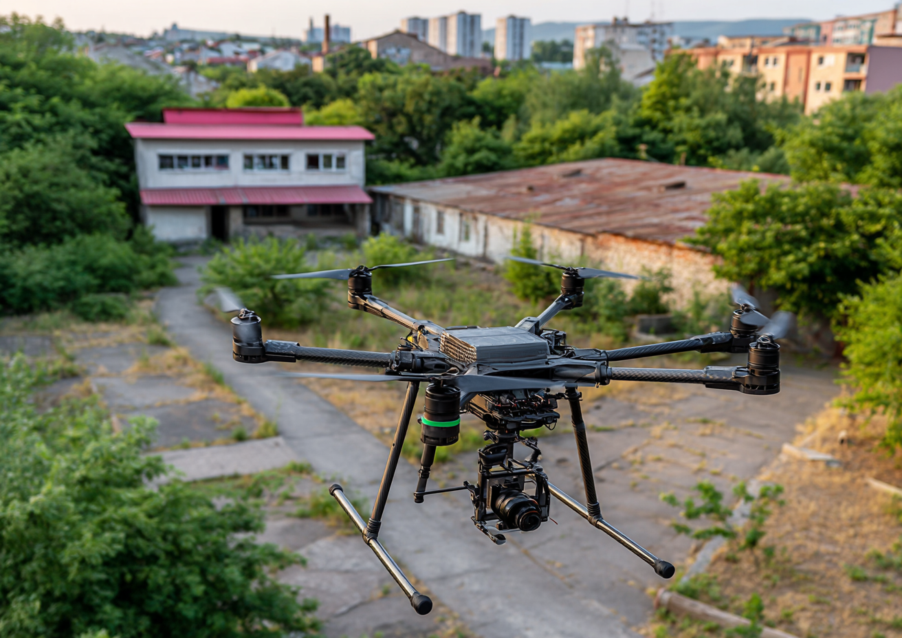
Expert Tips on Drone For Photography
A drone equipped for photography sits on a sandy beach, overlooking calm waters and distant hills under a clear sky.
Your Guide to Drone for Photography: Leveraging Aerial Solutions with RealtaSnap
Are you looking to take your listings to new heights with a drone for photography? In today’s blog, we’ll cover everything you need to know about aerial imagery: essential strategies, state-of-the-art tools, proven tips, common pitfalls, and—most importantly—how RealtaSnap can help you get reliable, jaw-dropping drone photos and videos that sell your space. You’ll walk away with actionable insights about drone for photography best practices and a better understanding of why RealtaSnap is trusted by top-tier brokers and commercial property owners all over the New York and New Jersey area.
Why “DIY” Drone Photos Just Don’t Cut It
We get it—drones are everywhere now, and it can be tempting to snap a few aerial shots yourself or hire a friend with a drone. But when it comes to real estate, not knowing drone for photography techniques can cost you time, money, and sales. Here’s the real problem: casual or amateur usage of drone technology often results in choppy footage, poorly composed photos, dull lighting, and even legal headaches. And let’s not forget, running a drone commercially in the city actually requires FAA Part 107 certification and rigorous planning—if you’re not compliant, you risk fines and jeopardizing your listing.
Missed opportunities, low-quality images, and legal risk are the most common pitfalls for property owners and agents trying to capture their own aerials. Potential buyers are used to browsing listings with high-end, magazine-quality overhead shots; if yours don’t measure up, they’ll scroll right past. The hardest truth? Even the prettiest home can look lackluster with the wrong aerial angles or flat gray skies overhead.
How RealtaSnap Elevates Your Listings with Pro Drone Photography
That’s where RealtaSnap comes in. Since 2019, our mission has been to bridge the gap in fast, stunning real estate visuals—without the guesswork or hidden fees. Based in NYC, RealtaSnap serves Manhattan, Brooklyn, Queens, Staten Island, the Bronx, and all of New Jersey for both residential and commercial properties.
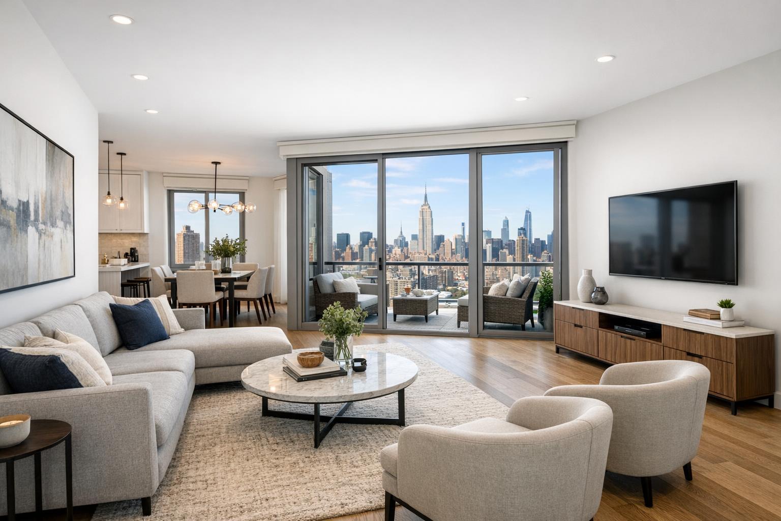
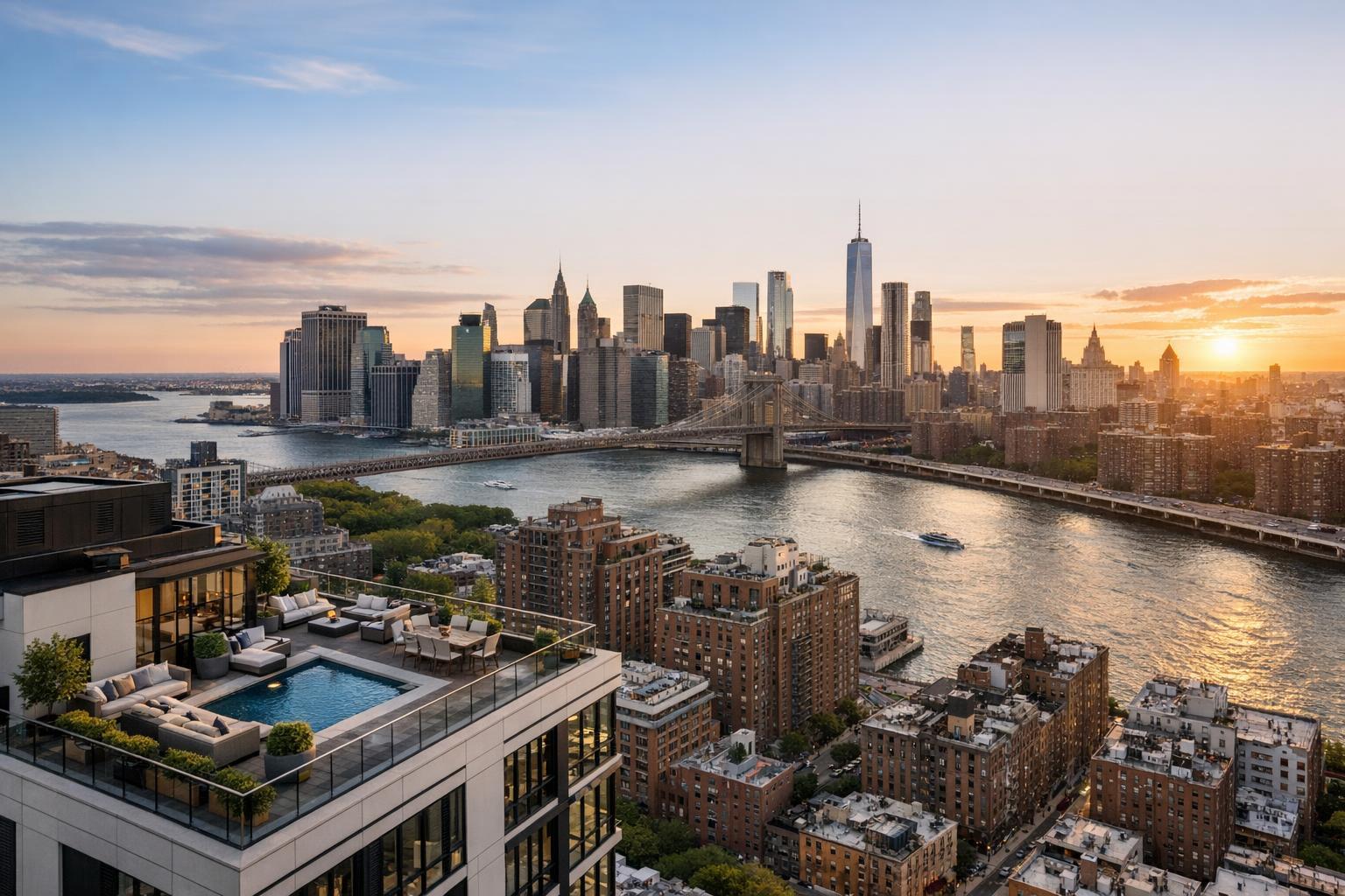
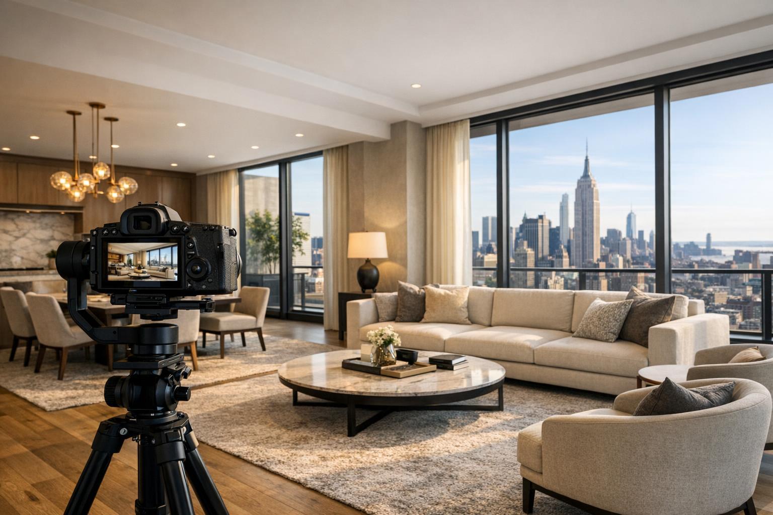
But we’re more than just a pretty photo. Our drone for photography services offer advanced technology, skilled pilots, and post-production specialists all rolled into one seamless experience. We use FAA-certified Part 107 pilots, ensuring not just beautiful shots, but aerials that are fully compliant and safe. Whether you’re listing a penthouse, a multi-family home, or vibrant commercial space, our drones capture the entire scope of your property—showcasing curb appeal, unique amenities, and the surrounding neighborhood in ways ground-level shots can never deliver.
Our drone services include:
- 10 aerial still photos taken in a 1-hour session for $209—delivered to your inbox in 24 hours.
- One-minute 4K drone video (filmed and produced in an hour) for $229.
- Photo & video drone combo so you don’t have to choose one or the other, all in one session for only $299 .
We also offer premium video editing, virtual tours, and virtual twilight so your property shines at every hour—even if you shot in the middle of the day.
Why Professional Drone Photography Changes the Game
Here’s what RealtaSnap delivers that DIY solutions and “cheap and cheerful” fly-by-nights can’t:
- FAA-certified Part 107 pilots for full legal compliance and peace of mind
- Ultra-high-def 4K aerial photos & video for every listing type, no up-charges for HDR
- Lightning-fast turnaround times—media delivered within 24 hours
- Immaculate image editing with in-house, multi-step quality checks so you stand out on any MLS or vacation rental site
- Easy online scheduling in less than three minutes
- __Custom listing website included__—free with every shoot
- Competitive pricing, transparent packages, and no surprise fees
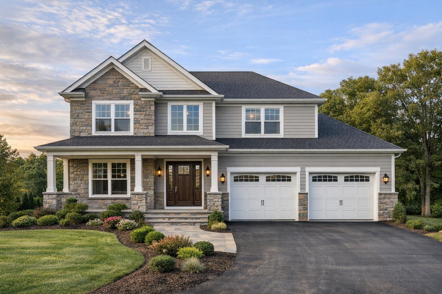
- Expertise across property types: from single-family homes and apartment buildings to hotels, restaurants, golf courses, and vacation rentals
Our Process: Drone for Photography Best Practices
We don’t just fly and click. RealtaSnap follows strict drone for photography techniques to make sure every shot is crisp, straight, and truly marketable. Here’s a peek at our proven workflow:
- Pre-flight property assessment: We study your property online, understand your goals, and plan flight paths—always with safety and privacy top-of-mind.
- Optimal shooting times: We prefer early morning or pre-dusk shoots for magical lighting and vibrant colors, unless you prefer a specific time.
- FAA compliance: Our licensed pilots always check local airspace and submit required waivers, so you’re never at risk.
- Multiple angles & heights: We vary shots to show property layout, proximity to landmarks, and unique features.
- Advanced editing: Our in-house team polishes every image with HDR, color grading, and sky replacements if needed—so you get drama without the drama of a weather delay.
- 24-hour delivery: Media is turned around fast, so you can start marketing almost immediately.
RealtaSnap vs. the Rest: Why Settle for Less?
Let’s face it—tons of photographers offer drone services on the side, but that’s not their specialty. This often leads to missed shots, poor editing, murky skies, and a lack of understanding of what actually sells in the NYC and NJ markets.
Unlike others, RealtaSnap focuses solely on real estate. We know how to highlight features that sell. Our post-production team isn’t outsourced; it’s in-house, providing a two-step quality check that ensures consistent, five-star results every time. And with transparent packages (like 10 drone photos for $209 or a combo shoot for $299), you know exactly what you’ll get and when to expect it.
Most importantly, RealtaSnap is the trusted partner of brokers from top names like Compass, Corcoran, Keller Williams, BHHS, and more. They rely on us for a reason: we deliver, every time, with no surprises.
Ready to Level Up Your Listing?
Why gamble with DIY or cut-rate providers when you can work with the drone for photography pros who deliver high-end visuals, quick turnaround, and zero hassle? Whether you’re pitching a cozy starter condo or a sprawling retail space, RealtaSnap transforms potential into real estate gold.
Ready to make your listing stand out from the crowd? Book your drone session with RealtaSnap today at www.realtasnap.com! See the difference aerial photography makes—and sell smarter every time.
Frequently Asked Questions: Drone For Photography Edition
Q1: Aren’t drones just gadgets for hobbyists? How do I know they can actually sell my property?
It’s true that not every drone photo or video will convert to faster sales. Bad lighting, awkward angles, blurry photos, and unedited skies can actually make your listing look worse. But when you hire RealtaSnap’s pro drone service, you get expertly composed, color-graded, and retouched images that spark buyer interest and drive online clicks—turning casual browsers into motivated viewers.
Q2: I’m nervous about drone regulations and privacy issues—won’t this complicate my listing?
Drones can definitely pose regulatory and privacy headaches, especially in busy areas like NYC and New Jersey where airspace is restricted and fines for rule-breakers are steep. The good news? RealtaSnap handles all FAA compliance and privacy approvals, so your shoot is smooth, legal, and worry-free—from start to finish.
Q3: Aren’t professional drone photos really expensive compared to traditional photos?
It’s a common misconception. In reality, RealtaSnap’s aerial pricing is straightforward and affordable—10 professionally edited drone photos are just $209, and you can get a 1-minute video clip for $229, making it easy to compete in even the busiest markets. Plus, our photos help your property sell faster and at a better price, so the investment pays for itself.
Don’t let your property blend in. Get in touch with RealtaSnap’s drone photo team now and take your listing to the next level!