Gain a Competitive Edge with Drone Photography for Real Estate
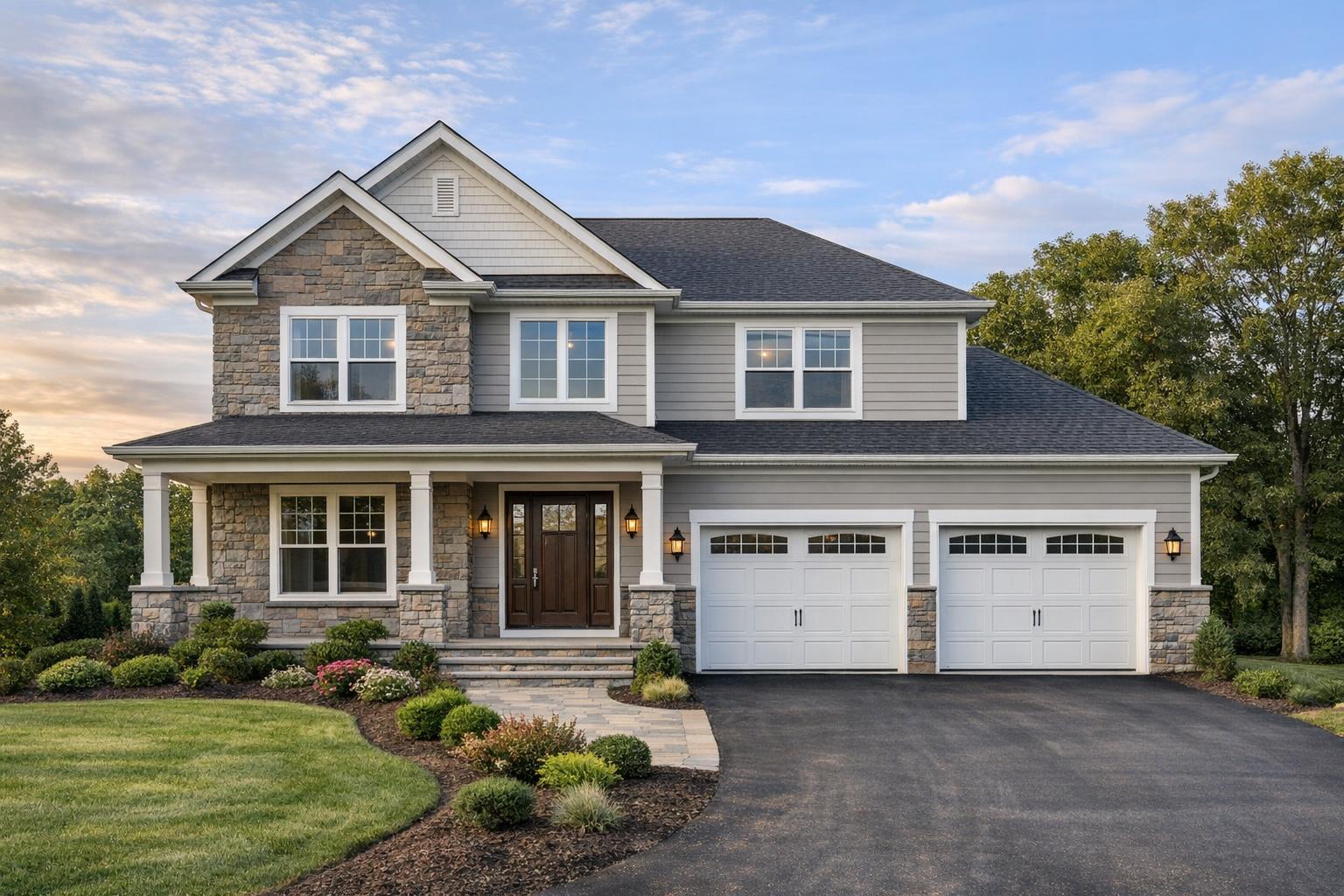
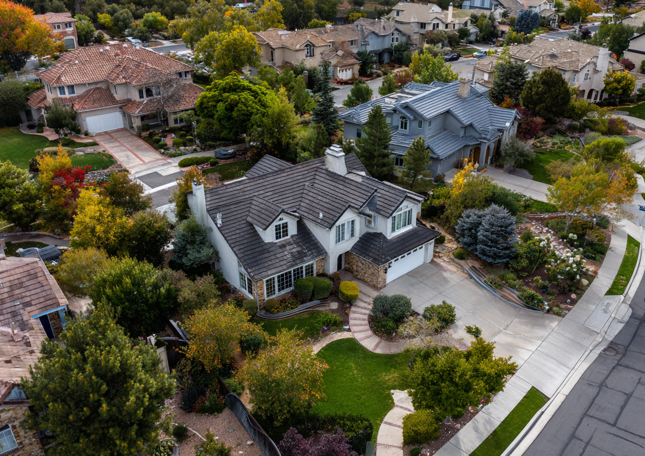
Aerial drone photography captures a residential property featuring solar panels on the roof and a pool in the backyard, set in a suburban neighborhood.
Unlocking Property Potential: The Power of Drone Photography Real Estate in NYC and Beyond
Introduction to Drone Photography for Real Estate
In today’s high-octane market, vacation rental photography in New Jersey and New York City has become more than a nice-to-have—it’s an essential tool for getting your listing noticed. This post dives deep into the buzz around drone photography real estate, exploring why aerial property photography is changing the way agents and sellers showcase everything from cozy walk-ups to sprawling estates. You'll discover how real estate drone imaging offers buyers a fresh, honest view of a property’s scale, neighborhood vibe, and wow-factor—plus why it’s simply non-negotiable for high-end listings. We’ll also break down the biggest frustrations agents face without drone media, and why RealtaSnap is built to solve them seamlessly.
The Challenge: Breaking Through the Noise Without Drone Imaging
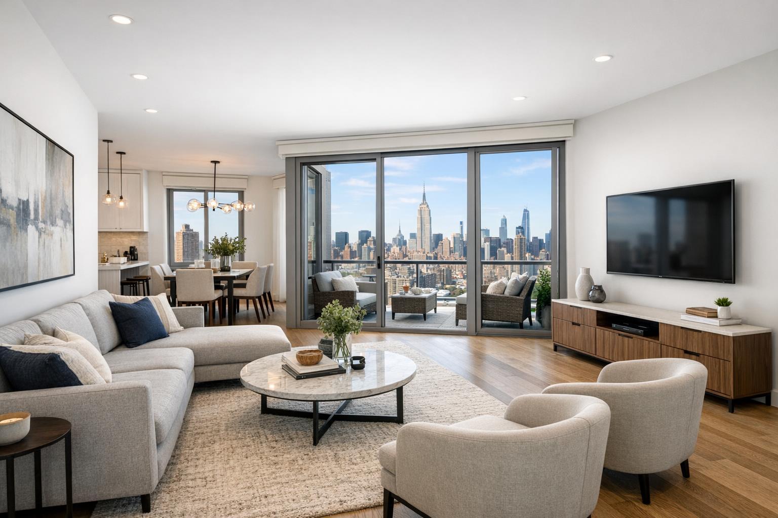
Let’s get real for a minute. You’ve poured hours into prepping your listing, making sure every detail pops in photos. But here’s the kicker—most online listings look, well, the same. Without that big-picture perspective, buyers scroll past. They struggle to visualize property size, backyard potential, or just how close you are to that coveted city park. Worse yet, you’re left explaining why the photos don’t capture the ocean views, private drive, or rooftop deck. Bottom line? Standard ground-level shots do your listing zero favors when it comes to standing out in crowded feeds on sites like Zillow or Realtor.com.
So what’s really at stake? Lost leads, slower sales, and listings that fail to excite. And let’s face it, if you’re representing luxury, rental communities, or commercial space, it’s an even tougher uphill climb. This is where real estate drone imaging flips the script.
Aerial Advantage: How RealtaSnap Elevates Your Listing
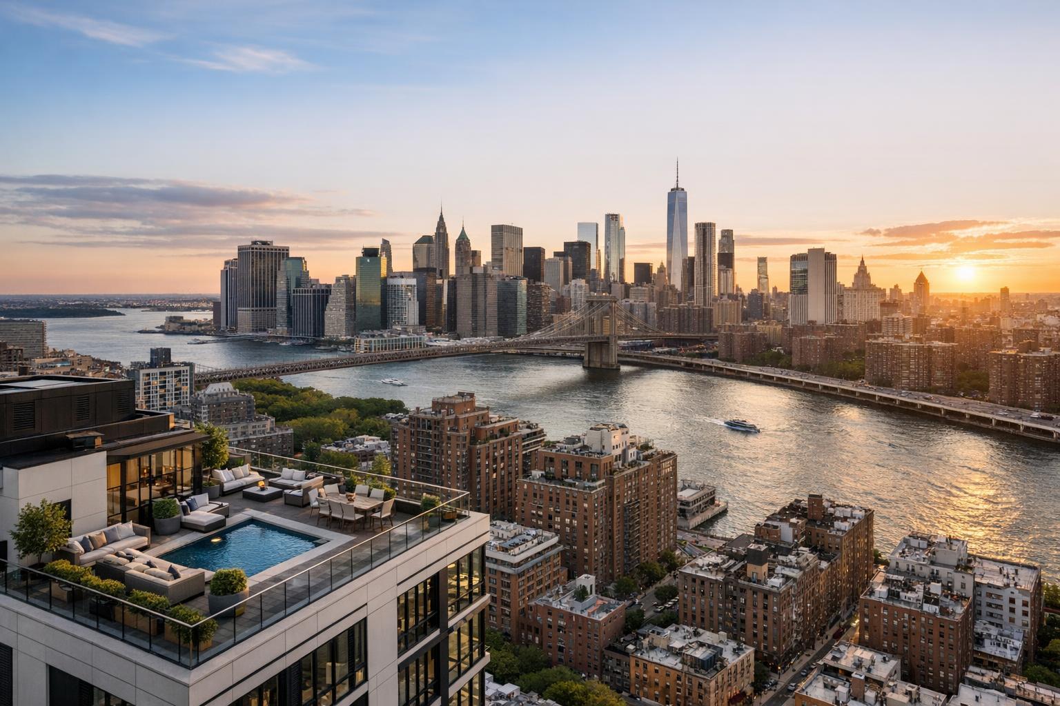
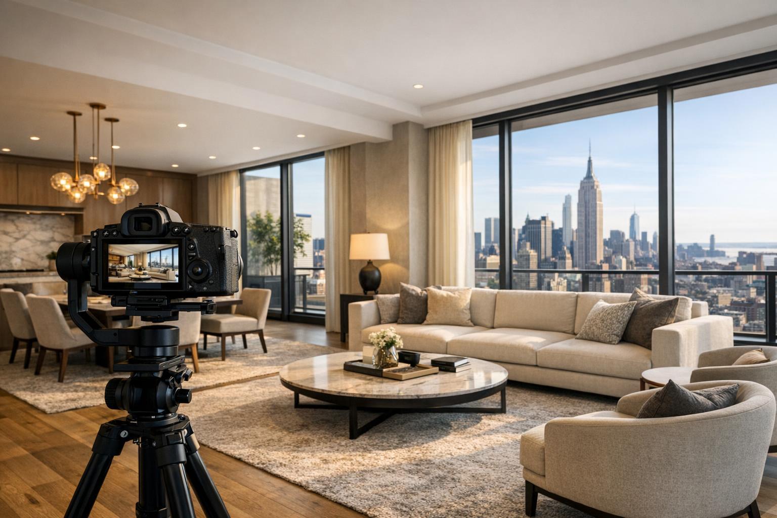
Here’s where RealtaSnap swoops in—literally. As NYC and New Jersey’s go-to for aerial property photography, our team delivers sharp, crystal-clear drone views that stop buyers mid-scroll. Every aerial photo and video is captured by FAA-certified pilots using industry-leading gear. Want to showcase your entire lot, proximity to transit, or that tree-lined block? We’ve got your angles covered.
We don’t just snap and go. Our in-house editors give every shot the red-carpet treatment: two-step quality checks for accurate color and flawless composition, with a user-friendly delivery system that puts your content in hand within 24 hours—guaranteed. Schedule in under three minutes and view everything from your phone or desktop. Plus, you only ever pay for what you need.
Here’s an at-a-glance of RealtaSnap’s drone services, straight from our current menu:
- 10 Aerial Photos: $209
- 1-Minute 4K Drone Video: $229
- Photo + Video Combo: $299
And guess what? Every shoot, drone or not, lands you a FREE custom listing website for instant sharing.
For more details or to lock in your shoot, check out our drone services page.
All prices and information are subject to change. Information is deemed reliable but not guaranteed.
Key Benefits of RealtaSnap's Real Estate Drone Imaging
- Instant Curb Appeal from Above: Buyers can truly understand lot lines, landscaping, and neighborhood context in a second.
- Highlight Unique Features: That infinity pool? Acreage? Rooftop lounge? Drone media captures it all—no explanations needed.
- Showcase Location and Lifestyle: Proximity to amenities, parks, or waterfront can turn a “maybe” into a must-see.
- Boost Search Rankings: Listings with aerial visuals routinely get more clicks and engagement, bumping your property to the top.
- Speed to Market: RealtaSnap delivers pro-edited visuals in just 24 hours, so you can list fast and get ahead of the competition.
- No Guesswork, No Gimmicks: Transparent pricing, booking with a few taps, and zero hidden fees.
The RealtaSnap Difference: Why We’re the Smart Move
You’ve got choices for drone photography in New York and New Jersey, but only RealtaSnap combines rapid turnaround, tech-forward ease, and luxury-level visuals—all at a price that works for every listing. While some companies upcharge for HDR or nickel-and-dime you for web delivery, our process is simple: get drone photos and videos at transparent prices, edited to MLS standards and delivered fast, with full support for both mobile and desktop users.
Our roster includes agents and teams at the biggest names in the industry—from Corcoran, Compass, and Keller Williams to boutique firms and independent agents. But here’s what truly sets us apart:
- Service for Every Segment: From rental studios to penthouses, from hotels to trendy restaurants, we capture the story your space deserves.
- Integrated Platform: Book, preview, and share from your personalized dashboard. Everything is designed to save time and headaches.
- Professional Gear and Crew: All drone operations are conducted by FAA-certified pilots and pro editors who know real estate marketing inside and out.
Still on the fence? When your property needs to shine—and let’s be honest, every property does—there’s no faster or more reliable way to get those “wow” shots than with RealtaSnap.
Ready to take your listings sky-high? Book your drone service in under 3 minutes.
Conclusion: Take Off with RealtaSnap Today
At the end of the day, the difference between “just another listing” and “bidding war” often comes down to the visuals. Drone photography real estate not only brings a property’s story to life, but also wins over buyers before they even cross the threshold. RealtaSnap’s tech-first, agent-friendly system makes aerial property photography accessible and affordable—no matter the size, location, or style of your listing.
Don’t let your next sale get lost in the noise. Let aerial views do the selling for you. Visit www.realtasnap.com today and discover how easy it is to elevate YOUR next listing.
Frequently Asked Questions
Isn’t drone photography only worth it for luxury listings or huge estates?
That’s a common misconception, but it just isn’t true! While real estate drone imaging is a must for luxury listings, even smaller homes, condos, and rentals benefit from a bird’s-eye view—highlighting perks like parks, amenities, and privacy in fresh, convincing ways.
What if my building has location restrictions or I’m unsure about drone laws?
It’s easy to worry about regulations or logistics, especially in busy metros like NYC. But with RealtaSnap, all flights are conducted by FAA-certified pilots who handle site permissions and work within all local guidelines—so you can focus on the big picture, not the red tape.
Won’t taking and editing drone photos slow down my listing process?
Not with RealtaSnap! Your fully edited aerial property photography is delivered within 24 hours—so you can get listed faster and stay a step ahead, whether you’re targeting buyers on StreetEasy, Zillow, or elsewhere.