How Drone Photography is Elevating Real Estate Marketing in NYC and NJ
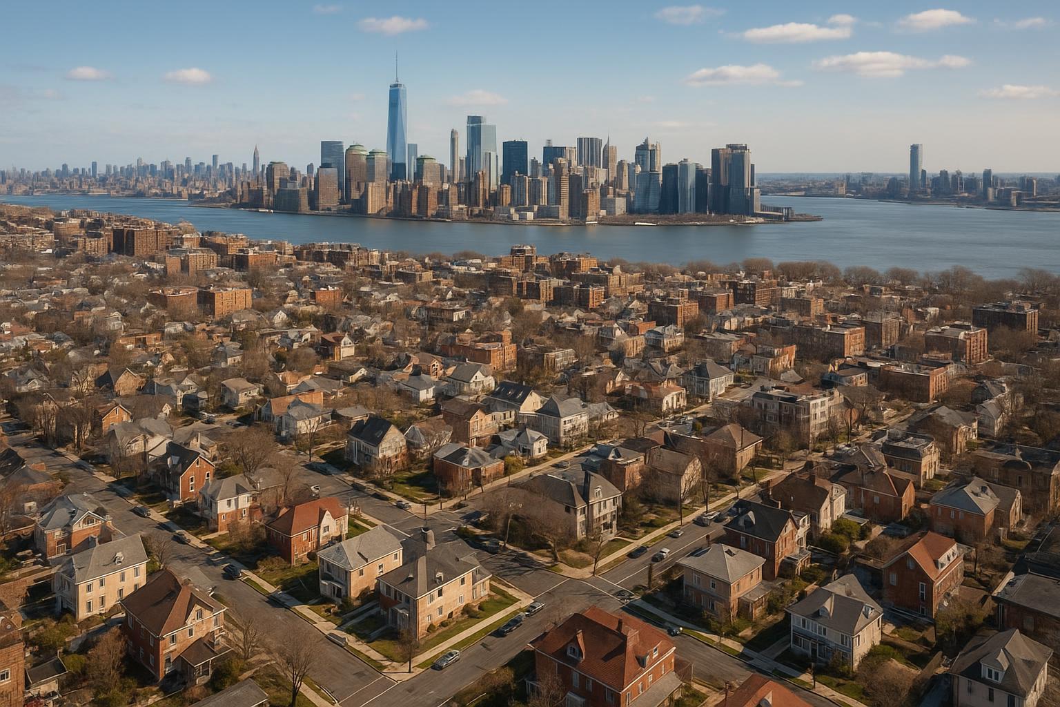
Drone photography captures a sprawling residential neighborhood with a stunning city skyline across the river.
Drone Photography Real Estate: Transforming NYC & New Jersey Listings with Aerial Imagery
Introduction
In a fast-paced property market, professional drone photography real estate solutions like those at RealtaSnap are raising the bar for real estate photography in NYC and New Jersey. In this post, you'll discover how aerial real estate photography is changing the way agents, sellers, and developers market both residential and commercial properties. We’ll cover the distinct benefits of drone photography, the types of properties that see the most impact, and what sellers and agents need to know about regulations and booking a shoot. Ready to see how you can make your next listing stand out? Read on!
The Problem: Flat Listings in a Competitive Market
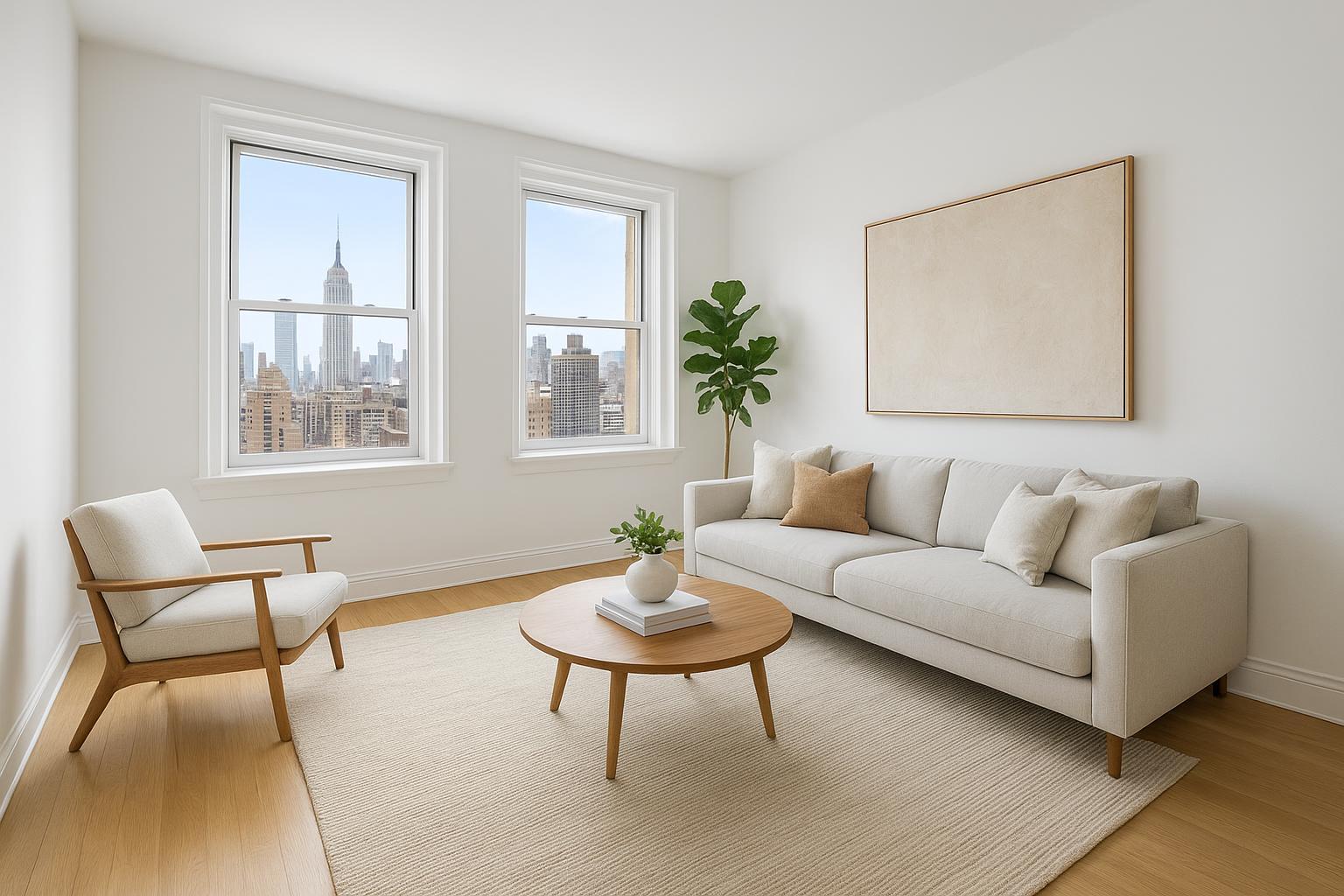
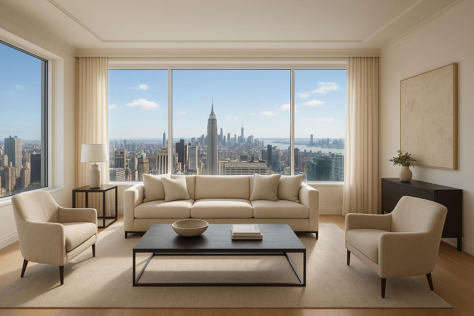
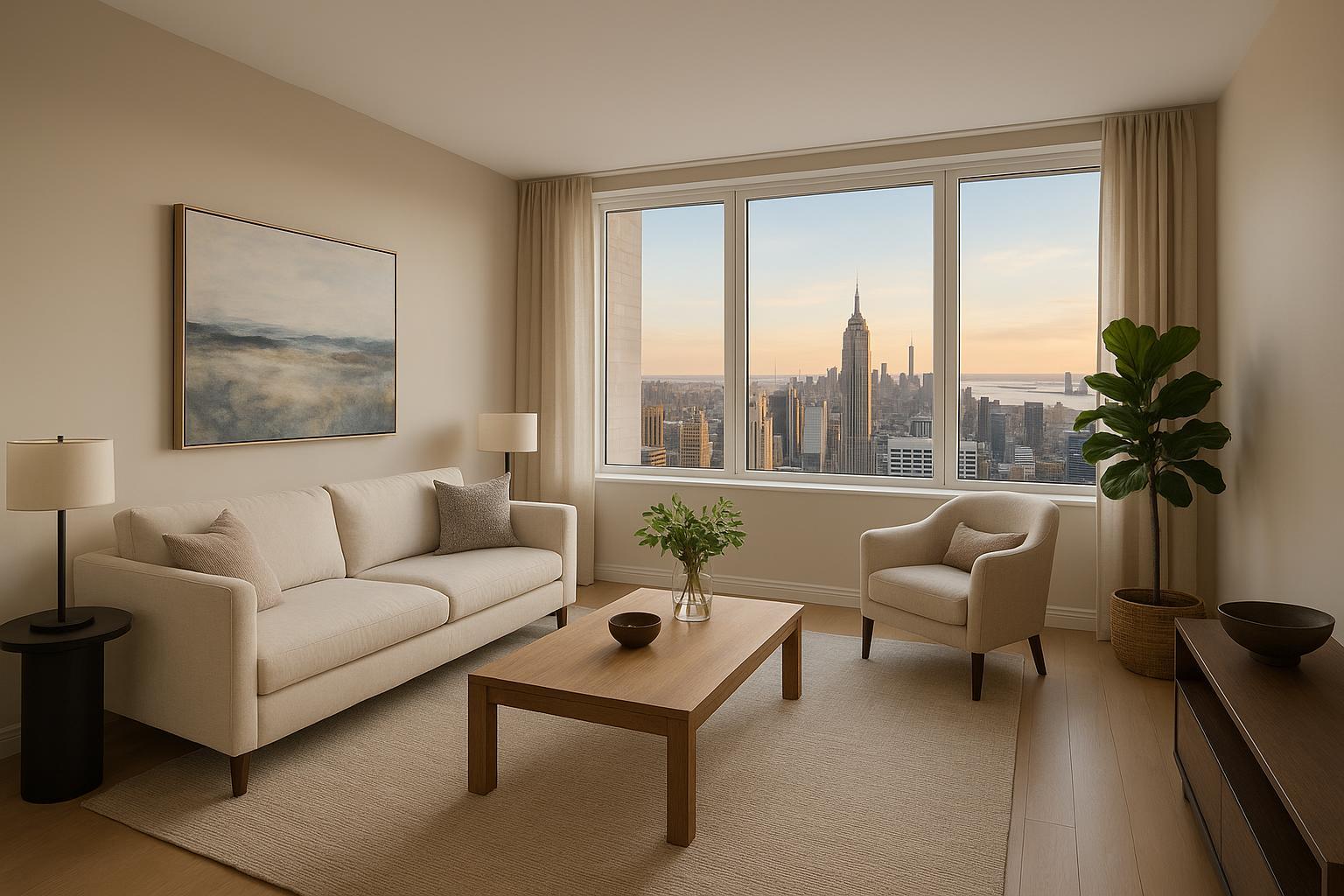
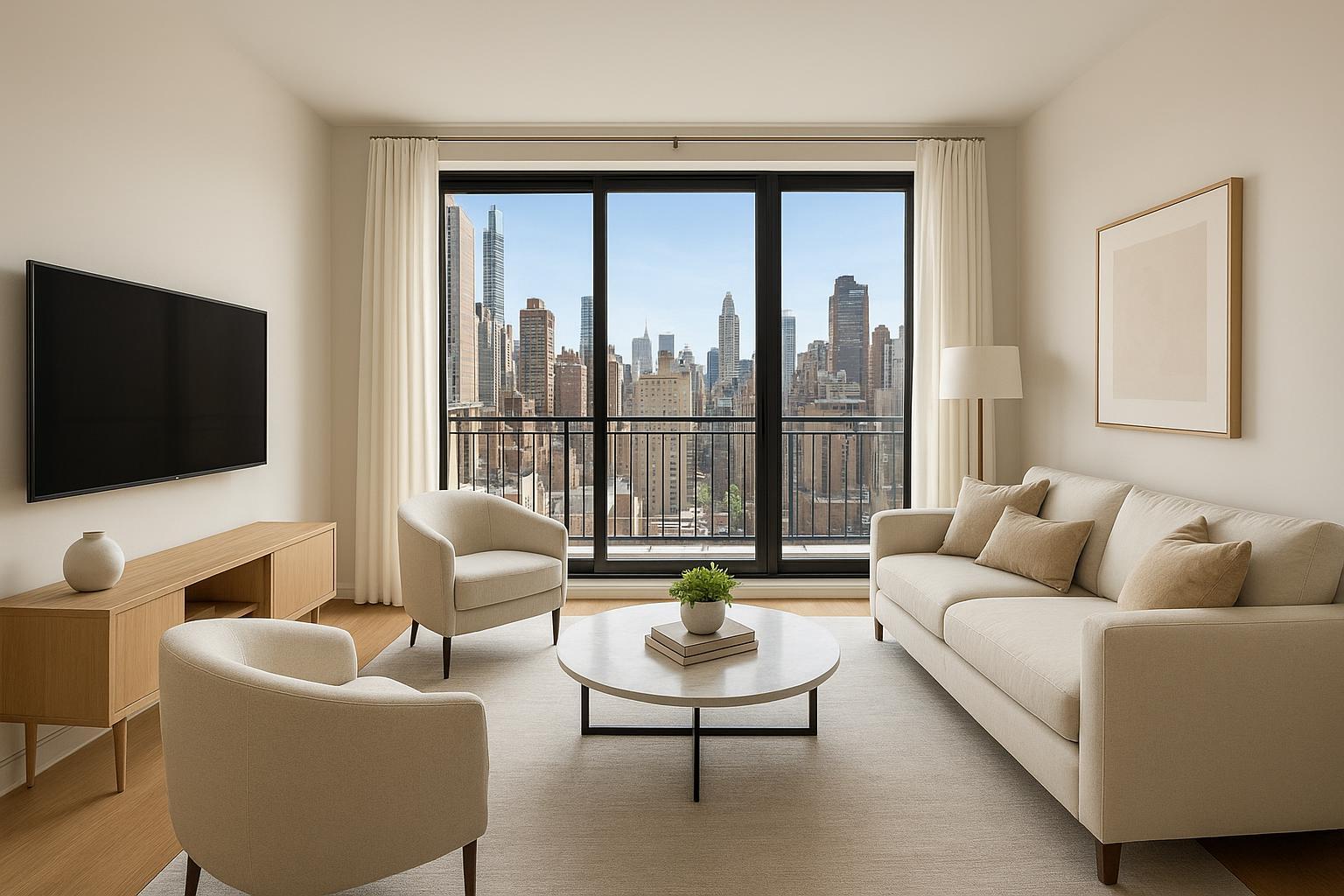
Traditional property photos often fail to capture the dynamic scale, location, and unique features that make a property irresistible—especially in densely built NYC or sprawling suburban New Jersey. Without compelling visual assets, listings get lost among countless others online. Curb appeal and neighborhood context become afterthoughts. Commercial properties, luxury homes, and new developments struggle to convey value or potential.
Worse yet, busy agents and sellers may not know whether they need permits to capture dramatic exterior shots, or worry about finding trustworthy, compliant drone operators. This creates hesitation and lost opportunity—especially when buyers expect to see every angle before setting foot in a property.
How RealtaSnap Solves It
RealtaSnap specializes in drone photography real estate services across all five NYC boroughs and statewide in New Jersey, making it easy to elevate your listing’s visual game. Our expert, FAA-licensed pilots and creative team deliver stunning 4K aerial images and video that bring out the best in your property—while handling all FAA compliance and safety concerns.
For both residential and commercial real estate, RealtaSnap leverages aerial real estate photography to capture a home’s scale, highlight amenities, showcase multi-unit layouts, and give buyers a sense of the surrounding neighborhood. We understand how to accentuate skyline views, spacious lots, rooftop terraces, pools, and unique architectural details.
Booking your drone shoot is effortless: choose from aerial photos, 4K video, or a combined package, then select your date online. Our streamlined process ensures turnaround in as little as 24 hours, so your listing goes live quickly with high-impact visuals to capture more buyer interest【20:5†RealtaSnap_Booking_Process_MASTER.docx】.
Benefits of Choosing RealtaSnap Drone Photography
- Licensed local pilots with urban airspace expertise
- 4K HDR imagery for print, web, and MLS compliance
- Aerial views reveal property scale, location, and amenities
- Stunning video tours to engage buyers online
- Fast scheduling and 24-hour turnaround
- Transparent pricing, starting at $209 for 10 photos or $299 for photos + video
- No need to handle FAA paperwork yourself
- Exceptional editing for blue skies and vibrant colors
- Service throughout NYC’s five boroughs and all of New Jersey【20:0†RealtaSnap_Rate_Sheet_MASTER.docx】【20:13†RealtaSnap_Service_Areas_MASTER.docx】
All prices and information are subject to change. Information is deemed reliable but not guaranteed.
Types of Properties That Benefit Most
- Luxury homes with expansive grounds or rooftop spaces
- Commercial buildings, offices, and retail centers
- Multi-family investments or new developments
- Townhomes, condos, and co-op apartments with outdoor amenities
- Waterfront or unique geographic locations
- Properties near parks, schools, or major landmarks
- Estate and land listings seeking to highlight boundaries
Whether it’s a penthouse with wraparound views or a suburban home with lush landscaping, aerial real estate photography brings out features that ground-level photos simply can’t.
Navigating Drone Regulations: What Sellers & Agents Should Know
NYC and New Jersey have some of the strictest airspace rules in the country. RealtaSnap operates strictly within FAA Part 107 guidelines: all flights are evaluated for safety and legal compliance, and not all airspace or locations are guaranteed to be flyable. Some areas may require additional permissions, and complex permitting for city-owned or NYPD-controlled zones is the client’s responsibility. Roof access often improves feasibility for drone operations in dense urban settings【20:4†RealtaSnap_Service_Execution_Policy_MASTER.docx】.
RealtaSnap does not conduct architectural inspections or engineering surveys—our focus is strictly on marketing visuals. Properties that require additional municipal permits may experience service limitations, but we’ll always assess feasibility up front and communicate clearly.
The Booking Process: Quick, Simple, and Transparent
Booking drone photography in NYC or New Jersey is simple with RealtaSnap:
- Visit the RealtaSnap drone photography page.
- Click “Schedule Now” and provide the property’s address.
- Select your desired media package and any add-on services.
- Book your time—only 24 hours’ notice required!
- Complete payment securely online and add any specific instructions.
You’ll receive beautifully edited aerial media typically within 24 hours—ready to help your listing attract more attention and offers【20:5†RealtaSnap_Booking_Process_MASTER.docx】.
Why Choose RealtaSnap Over Traditional or Third-Party Services?
Compared to traditional ground-level photography or generic service providers, RealtaSnap offers:
- Faster delivery times: Professionally edited aerial media, delivered fast (photos and videos within 24 hours).
- Superior image quality: Only top-tier equipment and drone pilots—never “point and shoot.”
- Seamless customer experience: Easy online scheduling, transparent pricing, no hidden fees.
- Proven compliance: All pilots FAA-licensed, operations fully evaluated for safety and legal requirements.
- Deep local expertise: Comprehensive knowledge of NYC and NJ neighborhoods, building types, and regulatory landscape.
Traditional photography simply can’t match the sense of scale, lifestyle, and context that aerial real estate photography provides—especially in crowded urban and luxury markets.
Conclusion & Call to Action
Drone photography real estate solutions are helping NYC and New Jersey properties reach new heights—literally and figuratively. Whether you’re listing a Manhattan penthouse, a Jersey City high-rise, or a Montclair estate, aerial visuals will set your marketing apart. RealtaSnap’s licensed team, local expertise, and creative approach ensure a standout, fully compliant experience for every property type.
Want your next listing to shine from every angle? Explore RealtaSnap’s drone photography services or visit www.realtasnap.com to schedule a shoot and transform your marketing overnight.
Frequently Asked Questions
1. Isn’t drone photography complicated due to NYC airspace laws?
It can be—many agents hesitate because of airspace restrictions and complex regulations. RealtaSnap’s FAA-licensed pilots have deep local expertise and only fly where it’s safe and legal, ensuring a seamless, worry-free experience.
2. What if my property is in a dense or restricted area?
Not all locations are flyable due to FAA rules or safety concerns, and municipal permits may be required. RealtaSnap evaluates every site in advance and is transparent about feasibility, so you never waste time or risk penalties.
3. Are drone photography packages affordable for all listings?
Many assume that aerial real estate photography breaks the bank, but RealtaSnap’s pricing starts at $209 for 10 photos or $299 for a combined photo + video package—all with clear, upfront rates and next-day delivery.
All prices and information are subject to change. Information is deemed reliable but not guaranteed.