How Drone Photography NJ Elevates Commercial Real Estate Listings in North Jersey
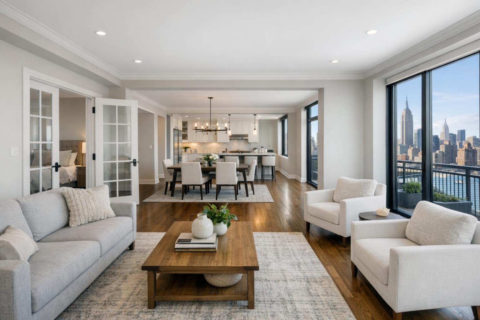
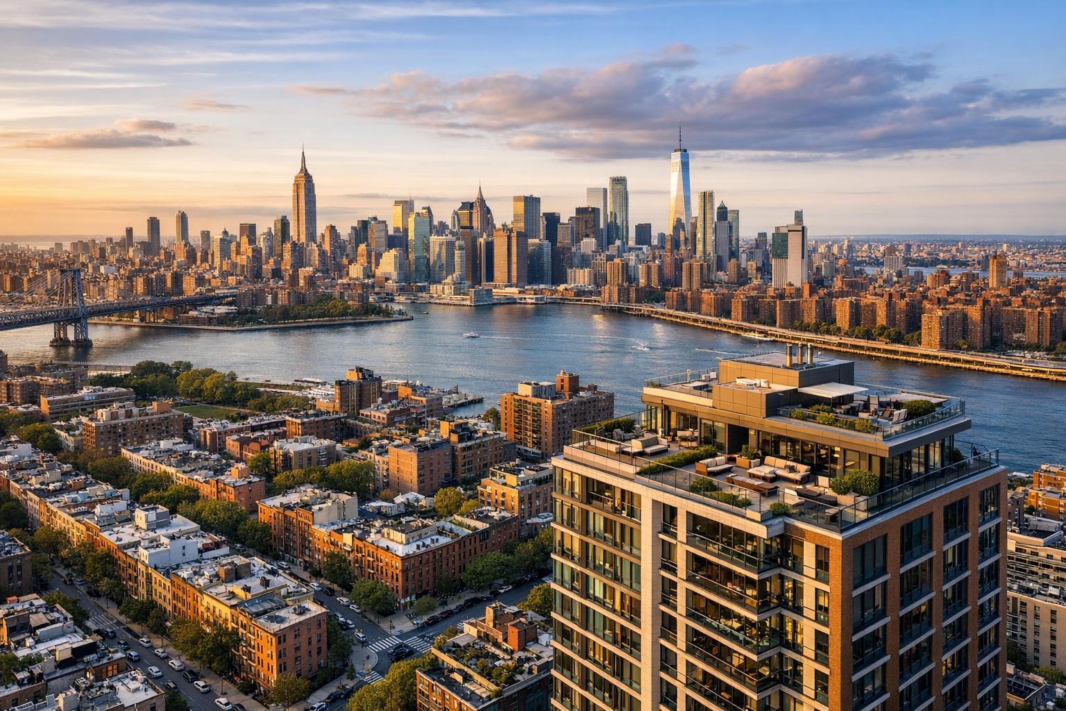
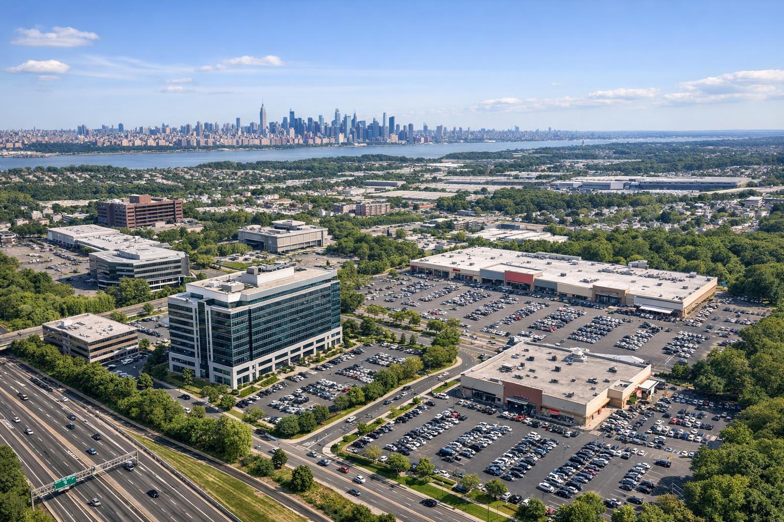
Drone photography in NJ showcases a bustling urban landscape with commercial buildings, expansive parking lots, and the New York City skyline in the distance.
Drone Photography NJ: Transforming Commercial Real Estate Marketing with High-Impact Aerial Visuals
When you’re seeking drone photography NJ or premium real estate photography in NYC, you need a solution that stands out. Commercial real estate photography is more competitive than ever in North Jersey, and aerial real estate visuals are redefining what’s possible for agents and brokers looking to attract the right clientele. In this post, discover how RealtaSnap’s drone photography packages empower you to elevate your listings, catch premium buyers’ attention, and deliver a marketing edge that traditional methods can’t match.
The Problem: Why Your Listings May Be Overlooked
North Jersey’s commercial property market is bustling, but that also means your listings can easily blend into the crowd. Standard ground-level photos may fail to showcase a property’s size, proximity to highways, or unique features like on-site parking or perimeter views. The result?
Potential buyers or lessees scroll past without pausing—and premium offers never materialize.
Agents are telling us:
- “My property shots look generic next to competing listings.”
- “Aerial perspectives could highlight prime signage, but I don’t have the capability.”
- “Buyers aren’t realizing how close we are to commuter routes or amenities.”
Without cutting-edge commercial real estate photography and compelling aerial real estate visuals, it’s harder to make properties pop, especially in high-value markets like Bergen, Passaic, Essex, or Hudson counties.
How RealtaSnap Solves It: Aerial Real Estate Visuals That Capture Attention
RealtaSnap specializes in drone photography and videography for North Jersey and NYC, delivering high-resolution aerial content with rapid, reliable, and affordable service. Our FAA-licensed pilots and in-house editors help you reveal spatial context, site advantages, and curb appeal from perspectives that simply aren’t possible from the ground.
Drone Photo Pricing & Packages:
Our commercial real estate drone packages are tailored for speed and impact:
- Drone Photography & Video (Commercial):
- Up to 10 aerial photos + 1-minute HD drone video: $250
- Includes color correction, sky replacement & quick export option
- Aerial Still Photos Only:
- 5 high-resolution photos: $150
- Add-ons:
- Extra drone photos or videos available à la carte
All prices and information are subject to change. Information is deemed reliable but not guaranteed.
These packages are specifically designed for commercial properties—so you get just what you need, with zero waste and unparalleled flexibility.
With drone photography NJ, your listings receive:
- Bird’s-eye visuals of rooftops, lots, and property boundaries
- Seamless integration with your listing portals and social media
- Fast booking, fast turnaround, and simple file delivery
Key Benefits of RealtaSnap Drone Photography
- Instantly increases listing views and inquiries
- Highlights features only visible from above
- Demonstrates proximity to key amenities and roads
- Enhances marketing value with cinematic quality
- Turns listings into scroll-stoppers with aerial real estate visuals
- Supports due diligence with context-rich images
- Offers quick, online scheduling for convenience
- Always includes in-house editing for professional polish
What Sets RealtaSnap Apart from Other Providers
Unlike basic photo services or one-size-fits-all listing packages, RealtaSnap puts client experience and tech innovation first.
- In-House Editing: All drone media is professionally enhanced for maximum impact—no outsourcing, no cut corners.
- Fast Turnaround: Receive fully edited photos and videos within 24 hours for maximum speed-to-market.
- User-Friendly Tech: From online booking to hassle-free file delivery, every step is streamlined for busy agents.
- Specialized Expertise: FAA-licensed pilots and a real estate-focused team ensure safety, compliance, and top-tier results.
Other providers may take days to deliver content or offer generic editing; RealtaSnap is built for the pace and expectations of North Jersey’s commercial market.
Conclusion & Call to Action
Ready to make your listings unmissable? RealtaSnap’s drone photography NJ and aerial real estate visuals not only grab attention—they turn views into qualified leads and competitive offers. With transparent pricing, quick online scheduling, and a proven difference in quality, RealtaSnap is your partner for standout commercial real estate photography in North Jersey.
Level up your next listing—book your aerial shoot with RealtaSnap today or explore all of our commercial photo & video services on our official website.
Frequently Asked Questions
1. Are drone photos truly necessary for commercial listings?
It might seem that traditional shots suffice, but they often miss key selling points only visible from above. RealtaSnap’s aerial visuals create a complete story, making listings far more enticing.
2. Is drone photography in commercial real estate compliant with local laws?
Some worry about violating regulations, but RealtaSnap uses only FAA-licensed pilots and stays current with all local and federal guidelines, so your content is as safe as it is striking.
3. How long does it take to get my drone photos and video?
Delays can kill marketing momentum, but with RealtaSnap, you’ll receive edited aerial photos and video within 24 hours—ensuring your property hits the market at the speed you need.
All prices and information are subject to change. Information is deemed reliable but not guaranteed.