Unlocking the Power of Drone Photography for Real Estate in NYC and NJ
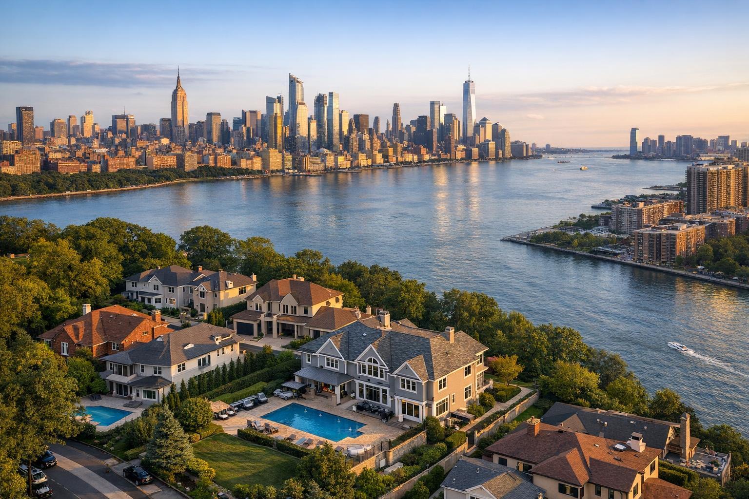
Drone photography captures a stunning view of luxury real estate with a backdrop of a city skyline across a river at sunset.
Drone Photography Real Estate: The Ultimate Guide to Aerial Marketing in NYC & North Jersey
If you’re searching for market-changing real estate photography in NYC, you’ve likely heard about drone photography real estate. From striking aerial real estate photos that highlight property features to immersive video tours, drone photography NYC services have become essential for agents aiming to set their listings apart in NYC and North Jersey. In this post, discover how switching to aerial visuals can maximize your listing appeal, overcome common agent headaches, and how RealtaSnap’s FAA-certified pilots and speedy turnaround support your success—with clear package pricing and inspiring results.
The Problem: Traditional Real Estate Photos Miss the Big Picture
Despite your best efforts, standard ground-level photos often fail to capture the factors that truly matter to buyers and renters. In such a dynamic and competitive market as New York City and North Jersey, you’re not just selling four walls and a roof. Location, outdoor amenities, views, and property surroundings can make or break a deal. Yet, static, ground-level images can’t always show what’s unique.
Common pain points include:
- Difficulty highlighting proximity to subways, parks, or skyline views
- Properties with outdoor spaces that look underwhelming from the ground
- A need for compelling differentiation in crowded listing pages
- Increased buyer questions about neighborhood context and amenities
- Time lost scheduling multiple photography services separately
Agents and brokers are constantly searching for next-level visuals that showcase a listing’s full potential in a matter of seconds. That’s where drone photography for real estate comes in.
How RealtaSnap Solves It: High-Efficiency Aerial Real Estate Photos for Every Listing
RealtaSnap empowers NYC and North Jersey real estate professionals with top-tier drone photography real estate services. With FAA-certified pilots and highly experienced photographers, every session unlocks dramatic, high-resolution aerial real estate photos and cinematic videos—delivered within 24 hours.
Whether you’re marketing a luxury Brooklyn condo, a garden-style rental in Jersey City, or a commercial property in northern NJ, RealtaSnap’s drone photography NYC services provide a clearer story of location, amenities, and scale.
Pricing for Every Budget
RealtaSnap offers transparent, a la carte pricing so you can get the visuals you need—no bundles required. For example, aerial drone photography for exteriors starts at $125 (for 8-12 images), and full-featured packages with drone video tours begin at $245. Need both interior and exterior photos? Combine services to save and simplify.
All prices and information are subject to change. Information is deemed reliable but not guaranteed.
Booking is easy and takes just minutes through RealtaSnap’s online scheduling platform.
Benefits of RealtaSnap’s Drone Photography (Bullet Points)
- FAA-certified, OSHA-aware drone pilots for complete compliance
- Next-day delivery of all aerial imagery and videos
- High-resolution aerial shots to highlight location and amenities
- Up-close views of pools, gardens, terraces, and rooftops
- Customizable coverage for residential, commercial, and multi-family properties
- Flexible, a la carte packages—pay only for what you need
- Consistent, magazine-quality color correction on every photo
- Competitive package pricing with no hidden fees
- Seamless online booking and appointment management
- Glowing reviews from top NYC and NJ agents
Comparison with Competitors: Why RealtaSnap’s Drone Photography Leads the Way
While some providers offer slow turnaround or generic images, RealtaSnap is built for the fast-paced reality of the NYC and North Jersey markets. Traditional real estate photography is limited to ground-level perspectives, often missing the sense of place and scale. In contrast, drone photography real estate services from RealtaSnap unlock new marketing possibilities—including dramatic aerials that showcase property features and neighborhood advantages in a single frame.
With RealtaSnap, you receive:
- Faster delivery: Fully edited aerial real estate photos and videos in just 24 hours
- Superior quality: Consistent, high-res imaging with expert color correction
- Peace of mind: All drone pilots are FAA-certified and insured
- Client-first experience: Local, NYC-focused support and transparent communication from booking to final delivery
Success Story:
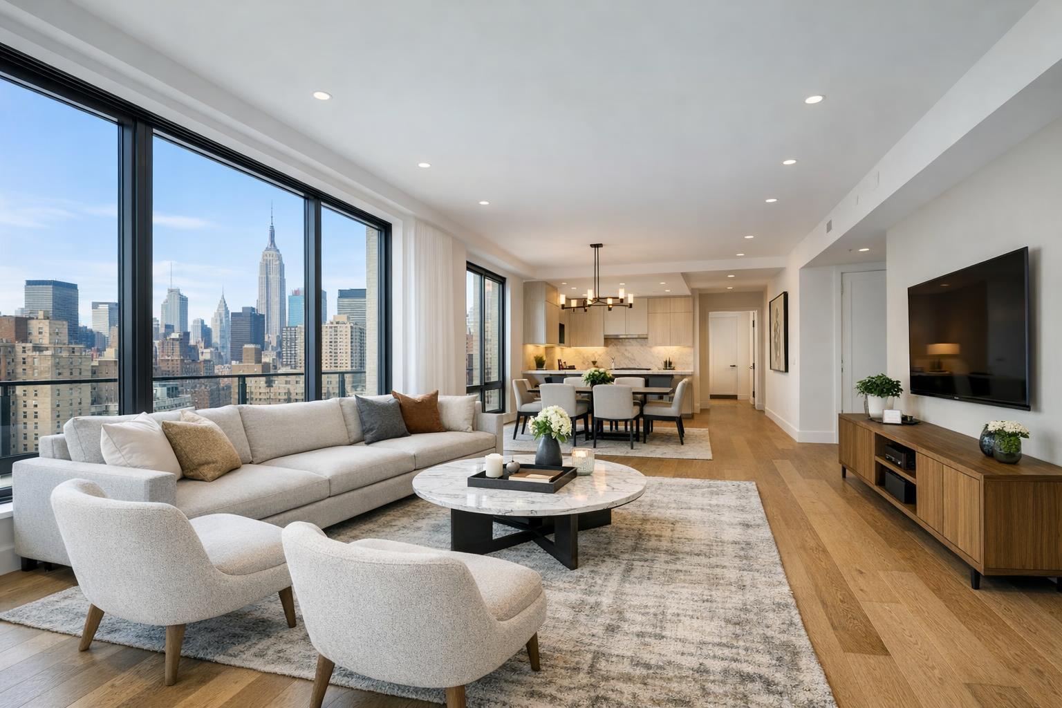
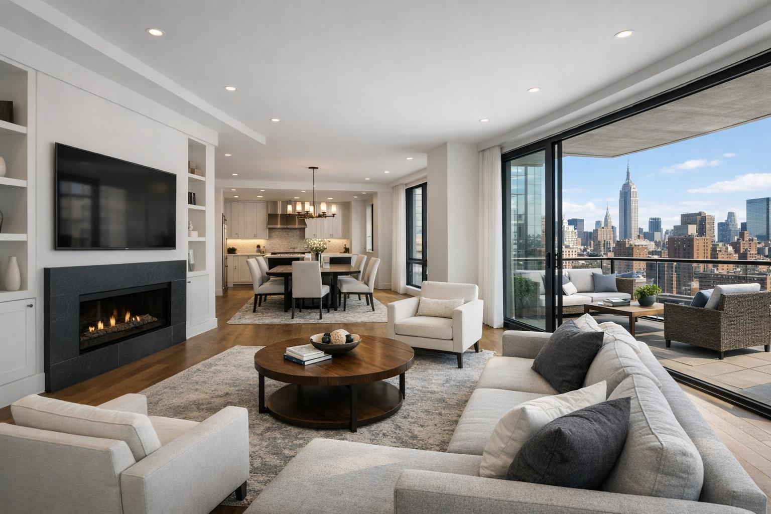
An agent listed a Manhattan penthouse with a wraparound terrace. RealtaSnap’s drone photography package told the “above it all” story, highlighting the private outdoor space and skyline views in a way that ground photos couldn’t capture. The result? The property received double the average showing requests within the first week—proving the power of aerial visuals in high-rise city marketing.
Conclusion & Call to Action
Aerial real estate photos are more than just a trend—they’re a must-have to keep your listings relevant and competitive in markets like NYC and North Jersey. RealtaSnap’s drone photography real estate services make it easy, affordable, and quick. Don’t let your properties blend in—showcase their strengths from every angle.
Ready to stand out in the marketplace and accelerate your results? Book your next drone photography session in minutes at www.realtasnap.com/services.
For more about drone, video, and photography packages, explore our real estate media solutions.
Frequently Asked Questions
1. Isn’t drone photography only for luxury listings?
While some think aerial imagery is just for high-end homes, RealtaSnap’s packages are affordable and scalable for any property—big or small.
2. Is drone photography safe and legal in NYC and North Jersey?
You might worry about legal restrictions in busy areas, but RealtaSnap uses only FAA-certified pilots who follow all city and federal guidelines for maximum safety and compliance.
3. What if I need my photos fast for a listing launch?
Others may require days for turnaround, but RealtaSnap guarantees edited, ready-to-use drone visuals within 24 hours, so you’ll never miss a marketing window.
All prices and information are subject to change. Information is deemed reliable but not guaranteed.