Drone Photography NJ: Elevate Your Real Estate Listings with Aerial Imagery
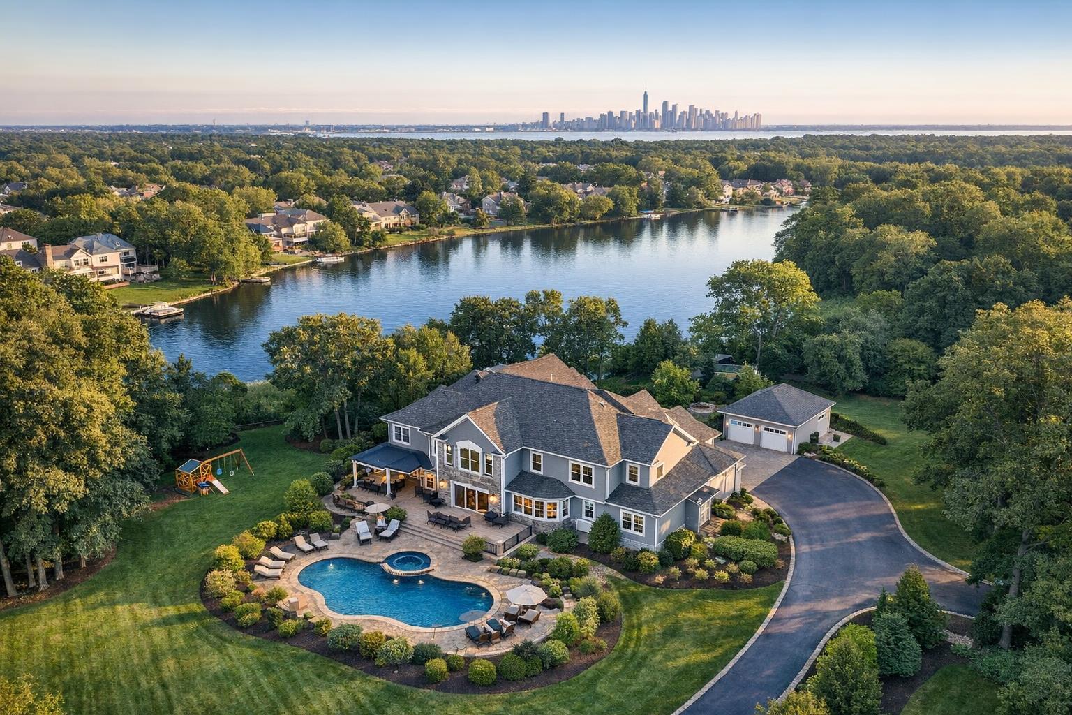
Drone photography NJ captures a stunning aerial view of a luxurious home with a pool, set amidst lush greenery and a tranquil lake, with a distant city skyline on the horizon.

Drone Photography NJ: Elevate Your Real Estate Listings with Aerial Imagery
When it comes to real estate marketing, drone photography in NJ is transforming how buyers connect with properties. Bringing an aerial perspective to New Jersey listings isn’t just about beautiful shots—it’s about instantly revealing information that ordinary ground-level photos can’t capture. Whether you’re showcasing a sprawling backyard, a coveted waterfront, or prime commercial access, aerial real estate photography adds dimension and context buyers value from their earliest online search.
Why Aerial Imagery Makes a Difference
At first glance, drone photography sets a property apart visually. But its real value is in the information it conveys. Standard listing photos walk viewers through the kitchen and living spaces. Aerial images step back, revealing where the property fits into the world around it:
- Lot boundaries, unique shapes, and open space
- Proximity to parks, beaches, marinas, or greenways
- How a yard, pool, patio, or detached garage is positioned
- Rooflines, design symmetry, and curb appeal from above
- Access to roads, transit, or business districts
- The greater context—how close or private a property really is
For buyers deciding between properties online, these images answer questions faster than any written description. Does this home’s yard back up to woods? How close is the water? How much parking actually exists? Drone photography gives clear, visual answers.
New Jersey’s Unique Real Estate View from Above
New Jersey’s real estate landscape is as varied as it gets—tight-knit city neighborhoods, leafy suburban streets, shore towns, rural estates, and booming commercial corridors. Each needs something different from its listing photos.
Waterfront and Shore Properties
With miles of coastline along the Jersey Shore, plus rivers, bays, and lakes, location is a primary selling point. An aerial angle can show how a home meets the water, connects to nearby marinas, or sits against a natural backdrop. The best drone images aren’t just wide scenic shots—they help buyers see relation and accessibility: the home in the foreground, the water lapping in the background, and everything in between.
Suburban and Acreage Listings
The value of a deep yard, sweeping lawn, pool, or sports court is hard to judge from ground photos alone. Drone photography makes it obvious at a glance—especially for:
- Irregular or oversized lots
- Pools with landscaped areas
- Home plus detached studio, garage, or barn
- Houses backing to preserved land, parks, or golf courses
- New construction where site placement is unique
Aerial imagery helps show how these elements interact and how the outdoor space truly functions.
Urban and Transit-Oriented Listings
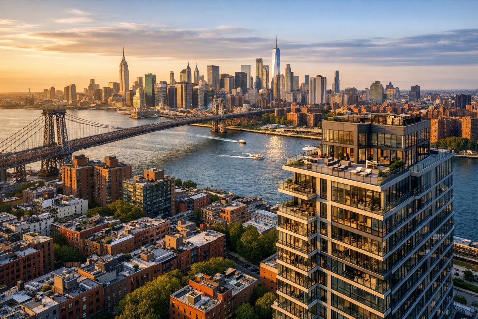
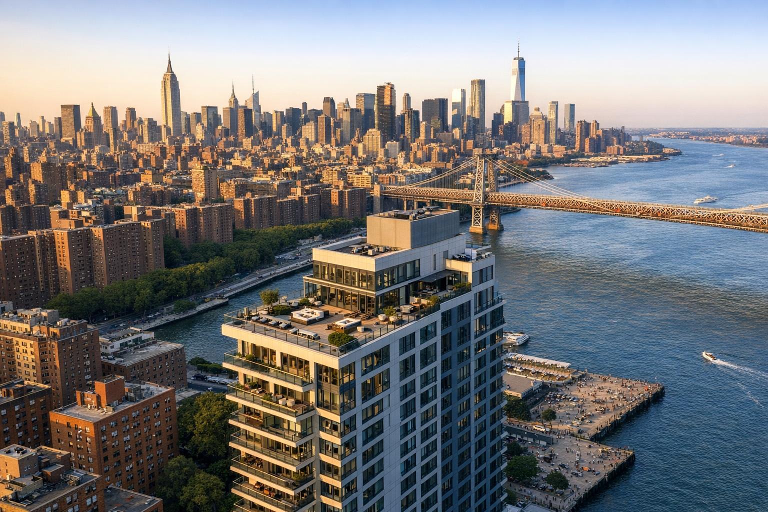
In dense downtown areas or neighborhoods near transit, the right drone shot gives context a traditional photo never could. Is the train station a few blocks away? Where is the nearest green space or promenade? In these locations, feasibility is assessed carefully, as airspace, rooftop access, and local restrictions may affect what’s possible.
Commercial Real Estate Applications
For commercial listings, it’s not just about beauty—it’s about business. Tenants or investors want to see access roads, parking lots, loading docks, proximity to highways, anchor retail, or surrounding residential areas. Aerial photos can:
- Outline lot boundaries and site layout
- Show visibility to major traffic routes
- Document parking capacity and access
- Clarify a building’s spot within a business district
- Illustrate development potential without misrepresenting existing conditions
Commercial clients get the most value from drone images that answer practical decision-making questions about access, infrastructure, and context.
Curating Drone Galleries: Every Image Should Serve a Purpose
Not every listing needs dozens of overhead shots. The most effective aerial photo galleries are thoughtfully curated, with each image chosen to communicate something specific. Depending on the property, you might want:
- An establishing view to show the property within its setting
- An exterior angle to capture the architecture
- A closer shot focused on pool, patio, or amenity space
- A location view connecting the property to nearby parks, water, or roads
- A high overview displaying boundaries and relationships between spaces
For a suburban listing, this might mean just a handful of key images—a wide front view, a backyard angle, a focus on outdoor features, and a perspective showing lot size. For commercial sites, the priority might be traffic access, parking, and exposure to the area.
Making the Most of Drone Real Estate Photography
Aerial imagery is most powerful when it’s part of a balanced visual marketing package. Interior and exterior stills, drone shots, and—when warranted—video or floor plans, all work together to give buyers a complete feel for the property.
A coordinated approach could include:
- Room-by-room photography for finishes and everyday features
- Drone images for context, scale, and location
- Aerial video to offer a cinematic sense of setting and movement
- Floor plans when buyers might want to understand layout
- Virtual tours for those exploring remotely
For instance, a townhome with a modern kitchen and a hidden backyard oasis might use standard photography for the rooms, then a single aerial shot to reveal yard privacy. A commercial property marketing campaign might lean on drone images to spotlight logistics and access.
If you want to learn more about professional property photography options in NJ, see RealtaSnap’s real estate photography services.
Practical Preparation Tips for Drone Shoots
To get the most from a drone session, plan what stories each image should tell. Is the highlight a large pool, access to open space, architectural design, or a city connection? Clear priorities help your photographer capture all the right angles.
Some quick ways to get ready:
- Move cars off the driveway if possible
- Put away trash bins, hoses, and any clutter
- Mow the lawn and tidy up landscaping
- Arrange patio furniture and uncover outdoor features
- Remove pool covers if the pool should be highlighted
- Close garage doors and gates unless they add to the composition
If your property has shared outdoor space, community rules, or tenant access, coordinate ahead of time so the shoot can go smoothly.
What to Expect: Airspace, Weather, and Real-World Limitations
Professional drone work is always subject to safety, airspace, and weather conditions. Certain New Jersey locations—especially near airports or heliports—may require extra approvals or may not be flyable. In urban spots, roof access can improve feasibility, but each case is considered individually.
RealtaSnap complies with all FAA Part 107 regulations, and drone flights for real estate marketing are distinct from inspection or engineering drone work. Authorization requirements, flight limits, and site access are determined by the specific location and conditions on the day of the shoot. Flexibility in your schedule helps ensure the best possible imagery, rain or shine.
RealtaSnap’s Drone Photography Packages for NJ
For properties that would benefit from aerial context, RealtaSnap offers straightforward, professional drone services for residential and commercial listings across New Jersey:
- 10 HDR drone photos (blue sky replacement if needed): $209
- One-minute final 4K drone video: $229
- Photo & video package: 10 HDR photos plus one-minute 4K video for $299
Still photos are ideal for online galleries and print materials; videos offer a compelling sense of movement for digital listings and social posts. Many sellers and agents opt for the combined package when the setting itself is a prime marketing feature.
You can discover more about the full suite of aerial photo and video options at RealtaSnap drone photography & videography.
Booking Drone Services with RealtaSnap
Scheduling a shoot is simple—you just need a minimum of 24 hours’ notice. Booking can be completed online with these steps:
- Enter the service address
- Add any custom notes or instructions
- Select the services (photo, video, or both)
- Choose your time from the real-time calendar
- Complete the appointment details and payment
If your location is in New Jersey, RealtaSnap’s statewide coverage ensures you can access aerial real estate marketing tailored to your property and your story.
In Context: Making the Most of Your NJ Real Estate Listing
Aerial imagery is more than a trend—it’s a way to communicate value, location, and setting with accuracy and immediacy. Whether framing a home’s unique backyard retreat, mapping out a commercial complex, or connecting an address to the shoreline, professional drone media helps buyers and tenants see why a listing stands out.
If your property’s appeal begins with more than what’s inside the front door, consider leveraging drone imagery for your next listing. For details, options, and booking information, visit www.RealtaSnap.com.
FAQ
Question: Do I need drone photography for every property I market in New Jersey?
Answer: Not every listing calls for aerial photos. Drone imagery is especially helpful when lot size, outdoor amenities, water access, unique location, or neighborhood connections are important selling points.
Question: What should I prepare before a drone shoot at my property?
Answer: Take time to tidy up the exterior—move vehicles, handle visible clutter, groom landscaping, and ensure key features like pools or patios are ready for their closeup. If there are access restrictions, plan ahead so all necessary areas are available for the shoot.
Question: Are drone flights always possible for real estate marketing in NJ?
Answer: Drone shoots depend on airspace approvals, weather, and safety. While most New Jersey properties can be captured, dense urban areas and spots near airports sometimes present challenges. RealtaSnap reviews each site to determine feasibility and retains pilot discretion for all flights.