How Drone Photography is Revolutionizing Real Estate Marketing in NYC
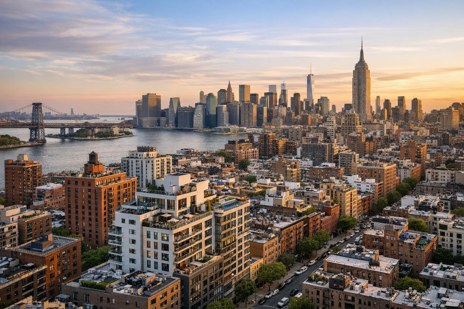
Drone photography captures a stunning aerial view of New York City's skyline and riverside real estate at sunset.

How Drone Photography is Revolutionizing Real Estate Marketing in NYC
Drone photography real estate is reshaping how agents and property owners market their listings in New York City. With so much of NYC's value tied up in its views, rooftops, and dense urban context, traditional ground-level images often leave out a lot of the story. That's where aerial photography comes in—helping buyers see not just the property, but how it connects to its surroundings.
Why the Aerial View Changes Everything for NYC Properties
Most real estate photos show off interiors: living rooms, kitchens, bedrooms, finishes, and light. But that’s just one piece of the puzzle, especially in a city like New York. Outdoor spaces—whether it’s a penthouse terrace, a brownstone garden, or a roof deck—can push a property to the top of a buyer’s list. The catch? These features usually can’t be captured fully from inside the apartment or even at street level.
That’s where aerial real estate photography makes the difference. With a carefully planned drone shot, a prospective buyer can instantly understand how a roof deck connects to the living space or see the scale of a backyard compared to other properties on the block. Buildings with unique architecture, corner locations, or landmark views just look better (and make more sense) from above.
What Aerial Images Reveal That Standard Photos Miss
There are certain property highlights that drone photography NYC is uniquely equipped to showcase:
- Private rooftops and terraces: Capture seating areas, views, and the true scale of outdoor spaces.
- Garden and yard relationships: See how rear gardens and outdoor entertaining areas sit behind a townhouse.
- Proximity to waterfronts and parks: Show buyers the exact relationship between the property and its natural surroundings.
- Skyline and river views: Put iconic sights in clear context, not just as distant backgrounds.
- Large lots and commercial sites: Offer perspective on the breadth of a property—crucial for new developments and commercial real estate.
Aerial images don’t replace high-quality interiors, but they do answer important questions. What’s just beyond the fence? How does the ground-level space extend outside? Could a terrace feel private, or does it overlook a busy street? For many buyers, these context clues are key.
How Drone Photography Works for Real Estate in NYC
Today’s drones are more than just flying cameras—they’re precise, stabilized platforms capable of shooting high-resolution photos and ultra-smooth video. In skilled hands, they offer a toolset that’s as much about planning and composition as it is about altitude.
A typical aerial shoot for real estate might include:
- Overhead photos showing roof layouts or garden footprints
- Oblique angles that balance the property with its urban context
- Close shots of roof decks, terraces, or upper-level amenities
- Wider video transitions moving from building features into the bigger picture
Editing is critical. The goal isn’t dramatic effects, but clarity, realism, and consistency with the other images in the listing. Motion should be smooth, not jarring. The property, not the drone, needs to be the star.
Where Aerial Media Delivers the Most Value
Not every NYC property will benefit from drone photography. For walk-up apartments without meaningful exterior features—or in locations with heavy airspace restrictions—aerial shots aren’t always feasible or useful. But certain listings are natural candidates for drone work:
Townhouses and Brownstones
Many New York brownstones hide dramatic gardens or have multiple levels of outdoor space in the back, well out of view from the sidewalk. An overhead shot can tell that story in a way nothing else can.
Penthouses and Residences with Terraces
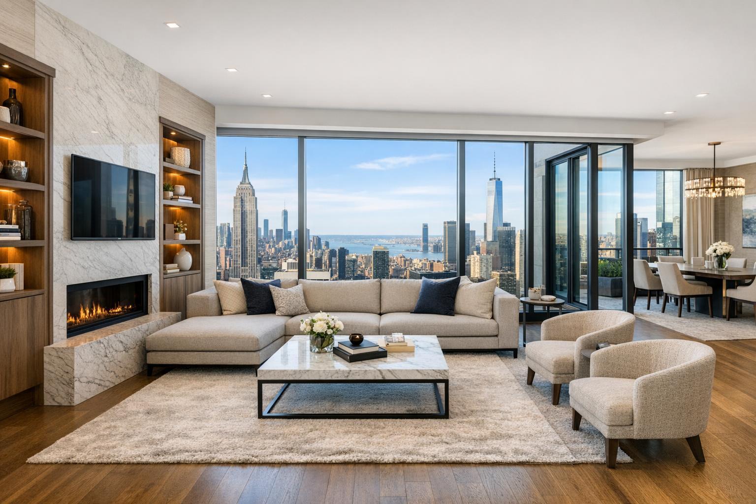
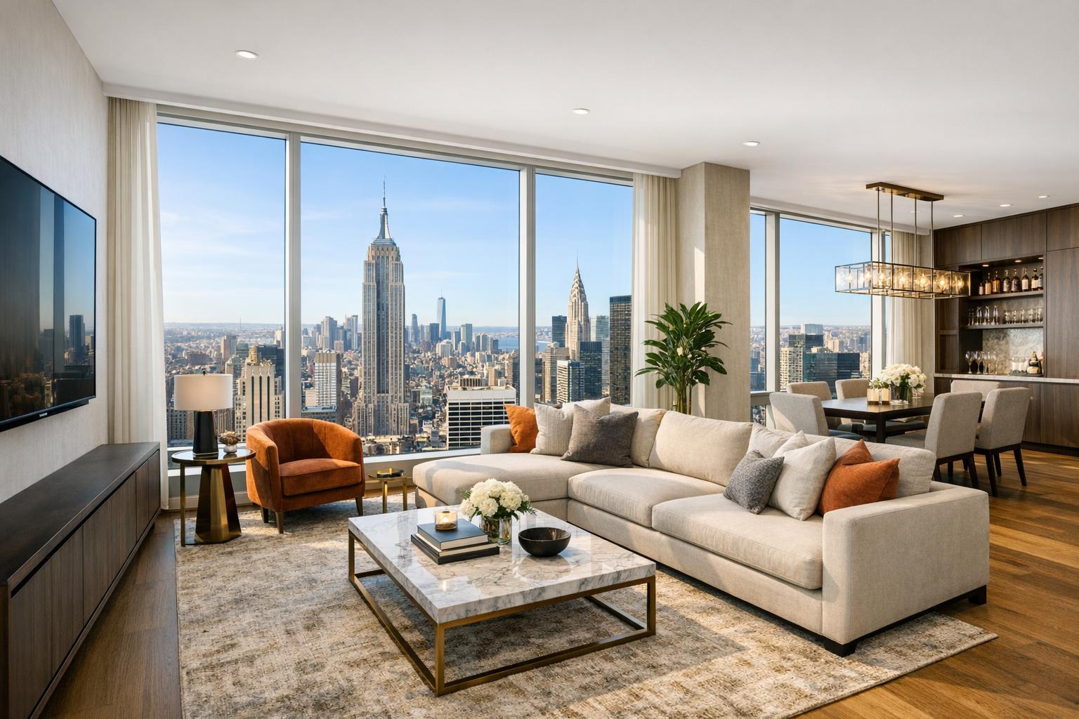
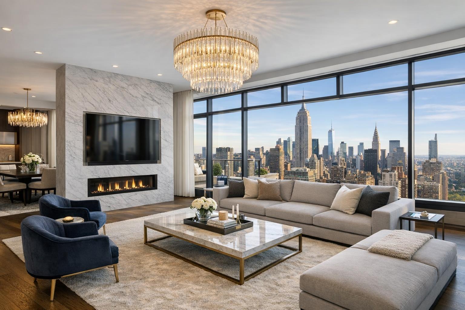
When you’re marketing a home where the terrace, view, or roof deck is the headline feature, aerial real estate photography helps buyers grasp the property’s height, layout, and what exactly the view really is.
Waterfront and Suburban Properties
For properties in New Jersey or along New York’s waterfront, the size of the lot, pools, docks, or green spaces are often just as important as the building itself. Aerials reveal how these elements interact with their surroundings.
New Developments and Larger Sites
Developers and commercial agents can use drone video and photos to demonstrate access points, parking, rooftop infrastructure, or relationships to major streets and amenities.
Navigating NYC's Drone Rules and Practical Realities
Flying a drone in New York City isn’t as simple as showing up and launching. Each location needs its own review, and several factors come into play:
- FAA Part 107 compliance is a must for professional flights.
- Airspace classification, weather, pedestrian traffic, building access, and local restrictions all shape whether a flight is possible.
- Roof access can help, but isn’t always required.
- Even when a property seems like a perfect fit for aerial coverage, actual flight feasibility is case by case.
- Professional pilots (like those at RealtaSnap) will only fly when airspace, weather, and on-site safety allow.
Generally, clients are responsible for arranging roof access and any required building approvals. If special permits or NYPD coordination are necessary, that will need to be handled before the shoot.
Getting a Property Ready for Drone Photography
Great aerial images require a little bit of preparation. Before your shoot, consider:
- Removing clutter from rooftops, terraces, gardens, and yards
- Ensuring outdoor furniture is staged as intentionally as indoor furniture
- Clearing away visible garbage bins, hoses, and tools
- Confirming roof access is arranged (when applicable)
- Letting your photographer know which outdoor features or views matter most
- Choosing a shoot time that makes the most of light and city views
On multi-unit buildings or townhouses with shared roofs, coordinate in advance so the drone operator isn’t surprised by locked doors or unexpected access issues.
Putting Aerial Media to Work in Your Listing Package
The best results come when drone media complements the rest of your marketing—not when it stands alone. Most listings lead with the strongest interior images or most stunning view. Aerials then step in to add the broader context:
- HDR interior and exterior photos for the details
- Aerial stills for roof decks, scale, and site relationships
- Walkthrough video for flow and key features
- Floor plan to help buyers visualize layouts
- 3D tours for virtual exploration
Not sure if a listing will benefit from a drone? If outdoor features are a highlight, or if the location and scale are major selling points, aerial media is often worth it.
For more on the range of services that can enhance a listing, RealtaSnap offers an overview here: RealtaSnap real estate media services.
Choosing the Right Drone Media Provider
If you’re adding drone photography to your marketing plan, the experience and process of your provider matter as much as their equipment. Helpful questions to ask include:
- Do they focus on real estate marketing (not just generic aerial work)?
- Will they review airspace, weather, and safety for each address?
- Can they coordinate with standard listing photos and video?
- How do they handle it if a flight isn’t feasible due to regulations or practical limitations?
- Do they have a clear process for building and roof access?
RealtaSnap approaches each aerial shoot individually, focusing on feasibility, safety, and your specific goals for the listing. If a property can’t be flown, we’ll always say so up front.
For more details on professional drone photography for NYC listings, you can visit RealtaSnap's NYC drone services page.
When Aerial Media Is Worth Considering
The true job of aerial media isn’t just to create “wow” photos. It’s about making listings more useful and informative. Done well, drone images help buyers understand outdoor areas, see the relationship to city features, and make sense of scale. Listings in dense areas with special features, or properties that are all about their setting, can benefit the most.
If you have a property where the outside story matters—be it a spectacular view, an expansive terrace, or just a backyard you want buyers to notice—consider how drone photography might help tell that story more clearly.
If you’d like advice on your next listing, we’re happy to discuss what’s possible. You can always start with www.RealtaSnap.com for more info.
FAQ
Question: Is drone photography legal for all NYC properties?
Answer: No, drone flights must follow FAA Part 107 rules and local NYC restrictions. Each location is reviewed for feasible, safe airspace and access. Some addresses simply aren’t possible to fly, but a professional operator can guide you through what’s realistic for your property.
Question: What types of homes or buildings benefit most from drone media?
Answer: Listings with roof decks, terraces, private gardens, prominent location features, or spacious lots usually gain the most from aerial images. Commercial properties and new developments also find drone photography useful for showing site context and access.
Question: Does roof access matter for drone shots in Manhattan or Brooklyn?
Answer: Roof access isn’t mandatory every time, but it does make many NYC shoots easier and safer—especially in dense neighborhoods. If your property has accessible outdoor space, letting your provider know in advance helps with planning.