Elevate Your Property Listings: The Power of Drone Photography in NYC Real Estate
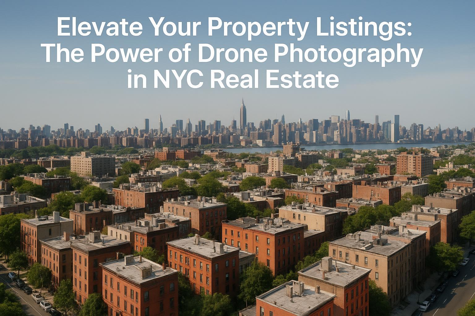
Drone photography in NYC captures a sprawling view of brick residential buildings with the city skyline in the background, showcasing the potential for real estate marketing.

How Drone Photography in NYC Is Transforming Real Estate Marketing for Agents, Brokers, and Property Owners
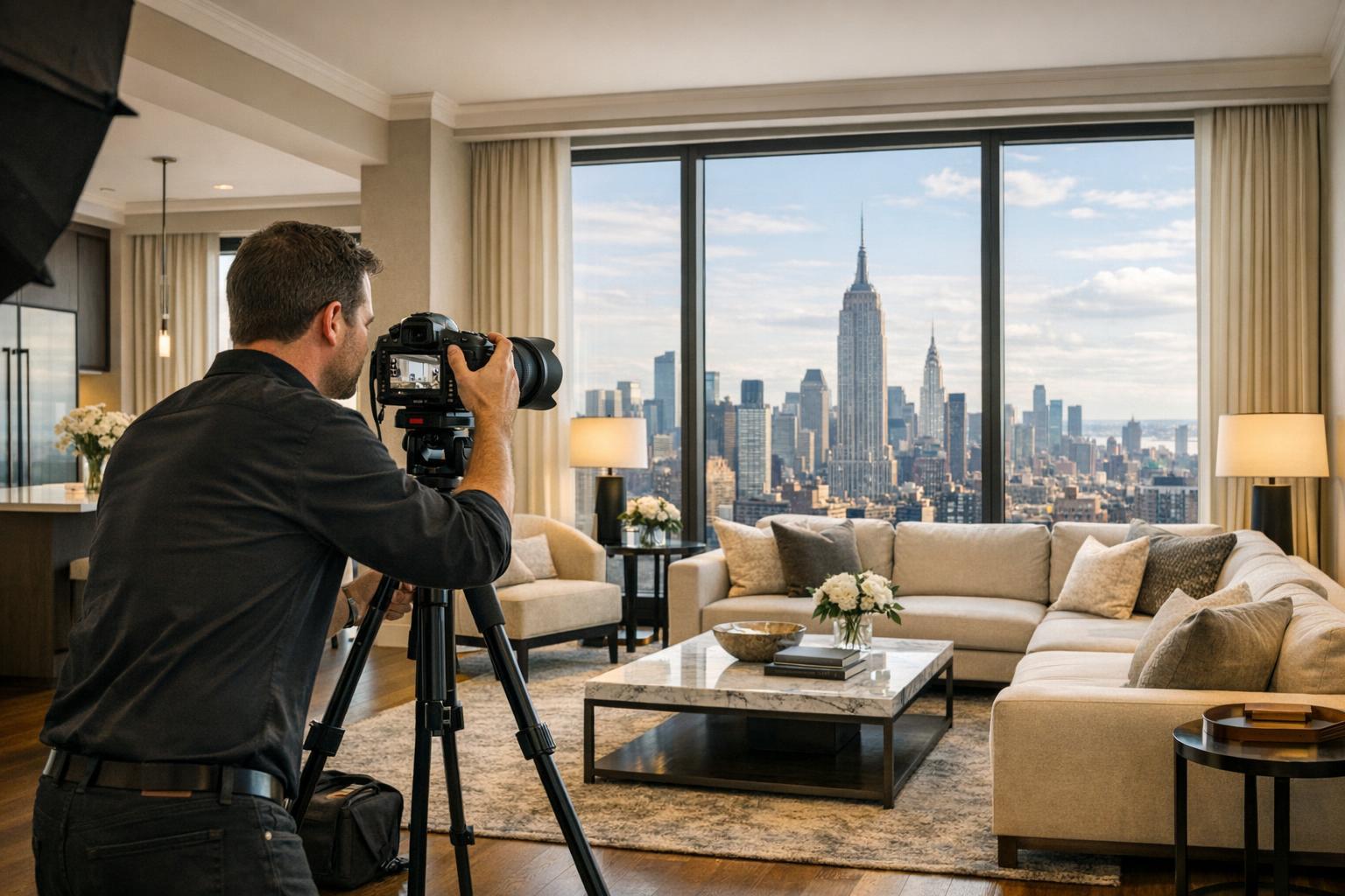
Real estate photography in NYC is evolving, and drone photography NYC is quickly establishing itself as a game-changer for agents, brokers, and property owners seeking a competitive edge. As expectations climb and online engagement fuels sales, integrating aerial real estate photography into your marketing strategy can mean the difference between a listing that lingers and one that truly stands out. In this post, you’ll discover how drone photography real estate is revolutionizing presentations for both residential and commercial listings—and why working with a compliant, experienced provider like RealtaSnap enhances every step.
The Problem: Standing Out in NYC’s Saturated Real Estate Market
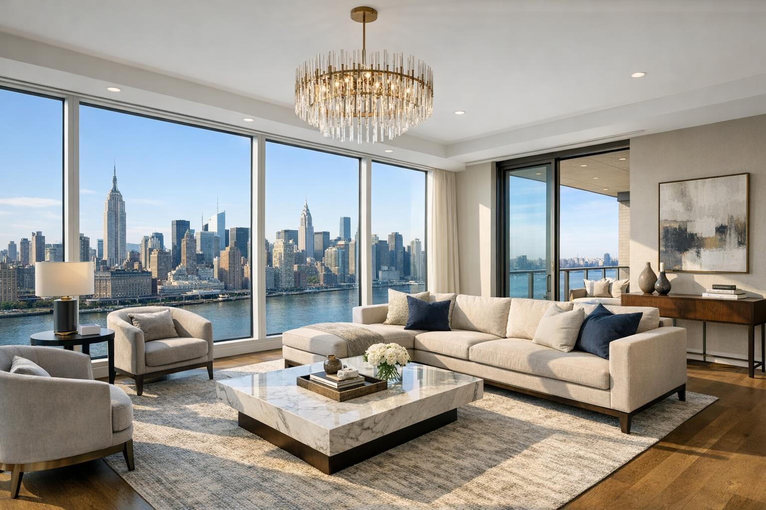
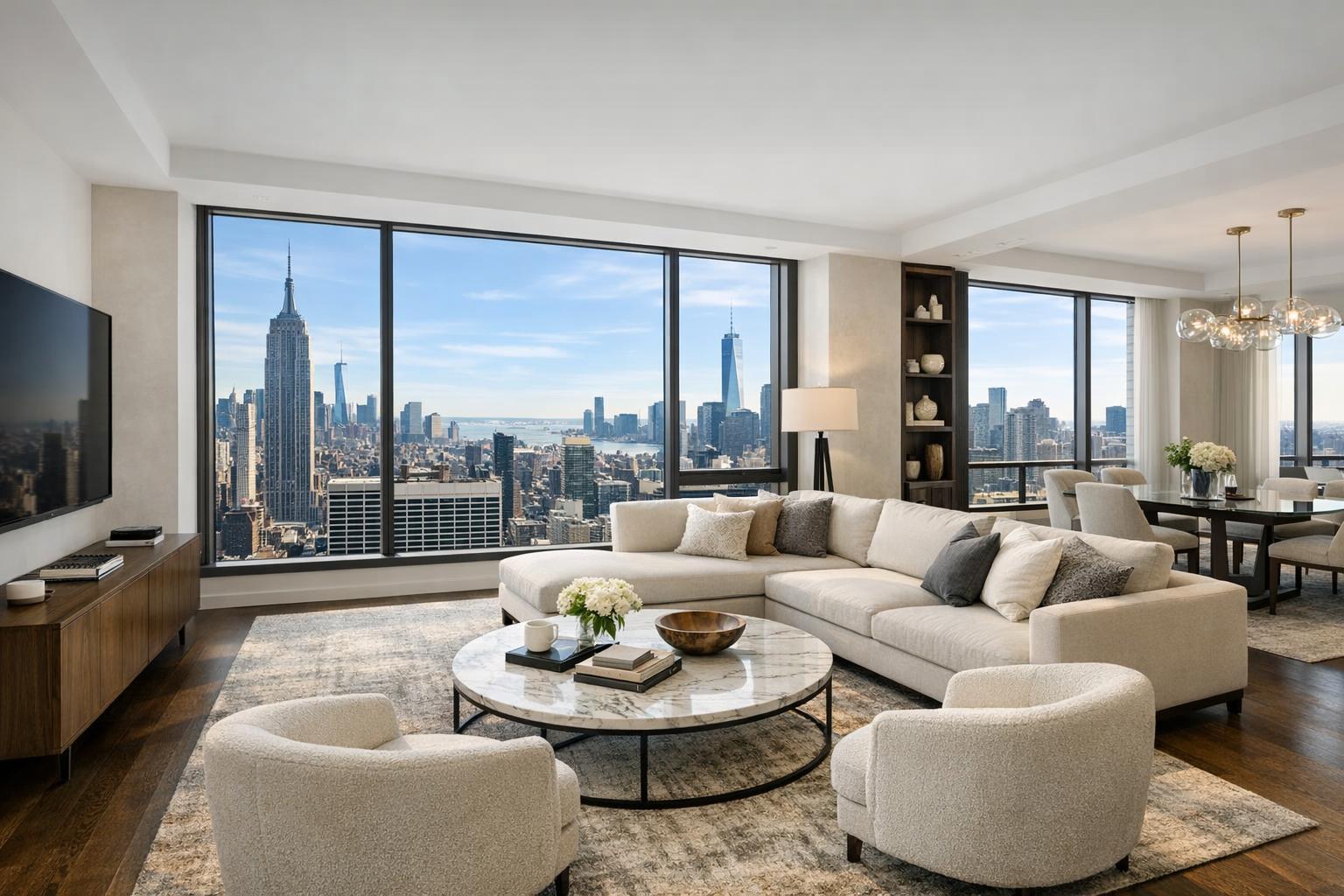
NYC’s real estate market is visually crowded and fiercely competitive. Online searches reveal endless images of apartments, penthouses, brownstones, and skyscrapers—many of them blending together because they’re shot from similar, ground-level perspectives. Traditional photography, while still crucial, often lacks the context, scale, and wow-factor that sophisticated buyers expect.
Without dynamic aerial real estate photography, listings risk being scrolled past or dismissed as ordinary. For luxury buildings, new developments, and unique commercial spaces, flat ground shots miss the chance to showcase location, neighborhood vibe, outdoor amenities, and sweeping skyline views. Lackluster online visuals can cost serious traffic, foot tours, and ultimately, offers.
How RealtaSnap Solves It: Elevating Listings with Expert Drone Photography NYC
RealtaSnap specializes in drone photography services designed to showcase properties from their best possible angle—sometimes hundreds of feet in the air. Our licensed pilots and seasoned visual storytellers capture breathtaking 4K aerials, providing a bird’s-eye view that highlights not only the property itself, but its relationship to parks, city lights, rivers, and surrounding architecture.
Residential clients benefit from stunning, contextual exterior imagery, while commercial property owners and developers can feature scale, lot size, and street visibility to attract investors and high-volume tenants. Every RealtaSnap drone session is compliant with current FAA regulations and tailored to NYC’s unique airspace requirements, so you get eye-catching images without compliance headaches. We even substitute blue skies on cloudy days, ensuring every shot radiates energy and vibrancy.
Pricing for Drone Photography Services
- 10 HDR drone photos (1 hour): $209
- 1-minute 4K drone video: $229
- Combo photo + video package (1 hour): $299
*All prices and information are subject to change. Information is deemed reliable but not guaranteed.*【20:0†RealtaSnap_Rate_Sheet_MASTER.docx】
Key Benefits of Choosing RealtaSnap for Drone Photography in NYC
- FAA-compliant, fully insured drone operations
- Experienced in challenging NYC airspace
- HDR and 4K imagery for maximum impact
- Blue sky replacement included for cloudy days
- Next-day turnaround for photos and videos
- Flexible a la carte pricing for every budget
- Dedicated editing and client support
- Professional storytelling for every listing
Comparison: RealtaSnap vs. Traditional & Other Aerial Providers
Traditional photography is limited by ground-based angles and can’t capture the full essence of urban or suburban locations. While some videographers may offer drone add-ons, they often lack the NYC-specific expertise or rapid delivery timelines that RealtaSnap provides. Our pilots are continually vetted for compliance and skill, and every session is planned with local airspace and permitting in mind. We pride ourselves on delivering visually stunning, ready-to-use content—often within 24 hours—so you can share, list, or advertise your property faster and with more confidence【20:5†RealtaSnap_Service_Execution_Policy_MASTER.docx】.
Aerial Real Estate Photography in Action: Turning Listings Into Success Stories
Imagine a Greenwich Village penthouse staged at twilight, with aerial photos that capture everything from hidden rooftop gardens to the sparkling skyline beyond. Or an East Harlem brownstone shown from above, revealing proximity to parks and subway stops—compelling context for busy city buyers. Even commercial properties benefit, as investors can instantly understand site scale, parking, and neighborhood flow.
RealtaSnap’s clients have seen listings sell faster and at higher offers when drone imagery is part of the marketing mix. Social shares increase, website engagement rises, and showings become more efficient as qualified buyers can truly “see” what makes the property one-of-a-kind.
Explore more about our NYC drone photography services here.
Trends, Compliance, and Choosing the Right Drone Photography Partner
Market Trends
- Aerial visuals are now standard for luxury and new development listings across the five boroughs
- Buyers increasingly expect interactive digital content—think drone videos paired with 3D tours
- Commercial real estate and leasing agents use drone mapping for site overviews and investor decks
Compliance Considerations
NYC is a dense, highly regulated airspace. Only hire providers who:
- Are licensed under FAA Part 107 rules
- Evaluate all local and federal restrictions before flight
- Have proven experience in restricted airspace and roof access logistics
- Do not offer, nor claim to secure, municipal permits for you (RealtaSnap will always inform you upfront if a location is not flyable)【20:10†RealtaSnap_Service_Execution_Policy_MASTER.docx】
Tips for Vetting a Drone Provider
- Check for insurance and regulatory credentials
- Ask for local city experience and recent portfolio
- Ensure rapid delivery and high-resolution editing is included
- Read reviews/testimonials (or ask for references)
- Make sure all visuals are for marketing use only—not architectural surveying
Choose a team that collaborates with you to craft a narrative, rather than just “snap and send.”
Conclusion & Call to Action
It’s never been more important—or more rewarding—to stand out with high-impact drone photography NYC. Whether you’re marketing a SoHo loft, a Tribeca luxury building, or a dynamic retail space, RealtaSnap helps you elevate your listing and captivate the next buyer or investor. Schedule your professional aerial real estate photography session today with RealtaSnap and set your listings apart.
Discover more at www.realtasnap.com or book a session for your NYC or NJ property now.
Frequently Asked Questions
1. Isn’t drone photography complicated and risky in NYC?
It’s easy to worry about regulations or safety in the city, but RealtaSnap’s team is trained, insured, and fully compliant with all FAA and local rules—making your experience smooth and secure.
2. Does aerial real estate photography really increase engagement and lead to faster sales?
Some agents think it’s just a “nice-to-have,” but listings with RealtaSnap’s drone imagery consistently see higher online views, more social shares, and better qualified showings.
3. What if my building or listing has strict airspace or roof restrictions?
Locations can be tricky, but RealtaSnap’s experts evaluate airspace and access for you, always suggesting alternatives or enhanced ground-level shots if needed, so you’ll never be left without stunning visuals.