The Benefits of Drone Photography for NYC Real Estate Listings
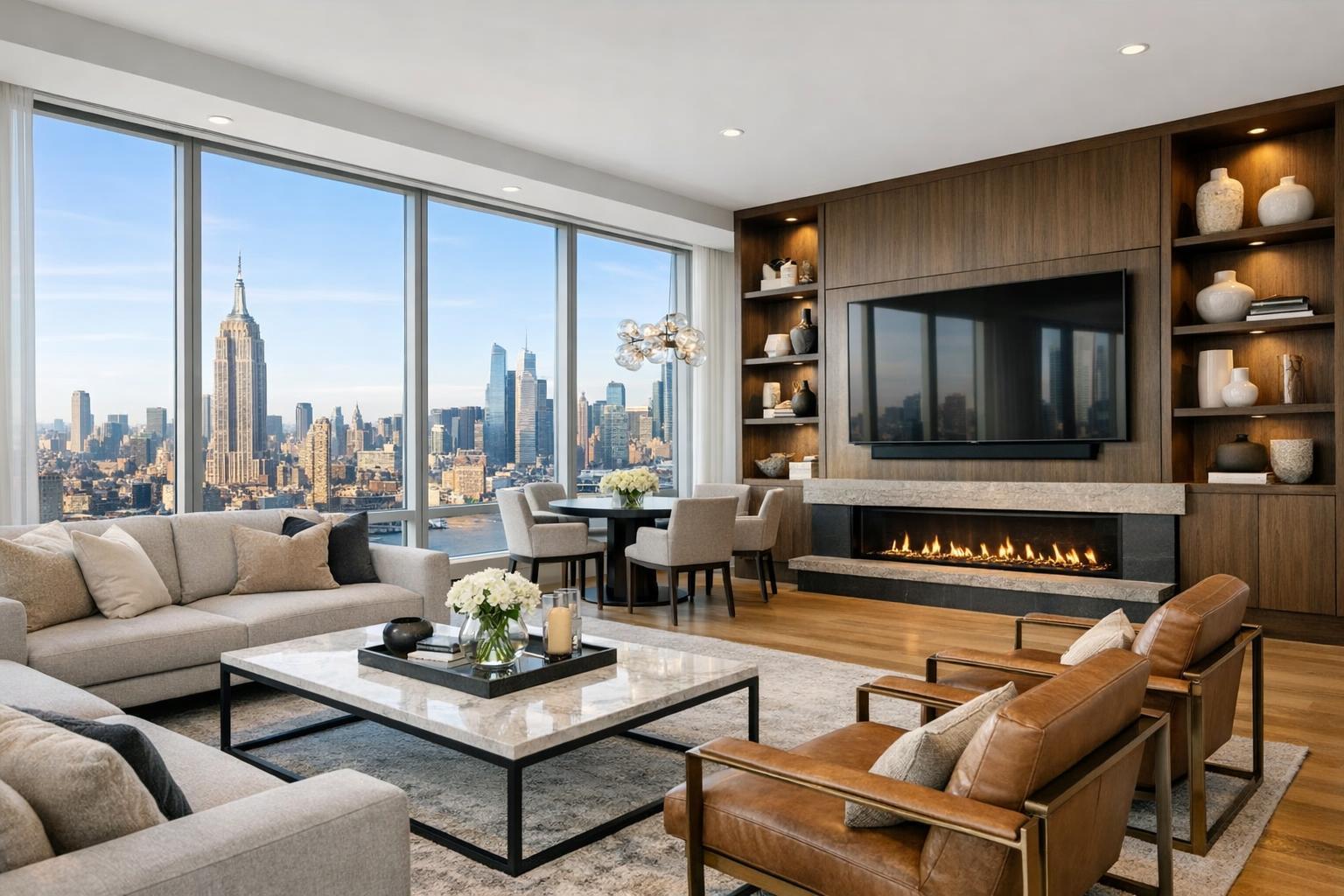
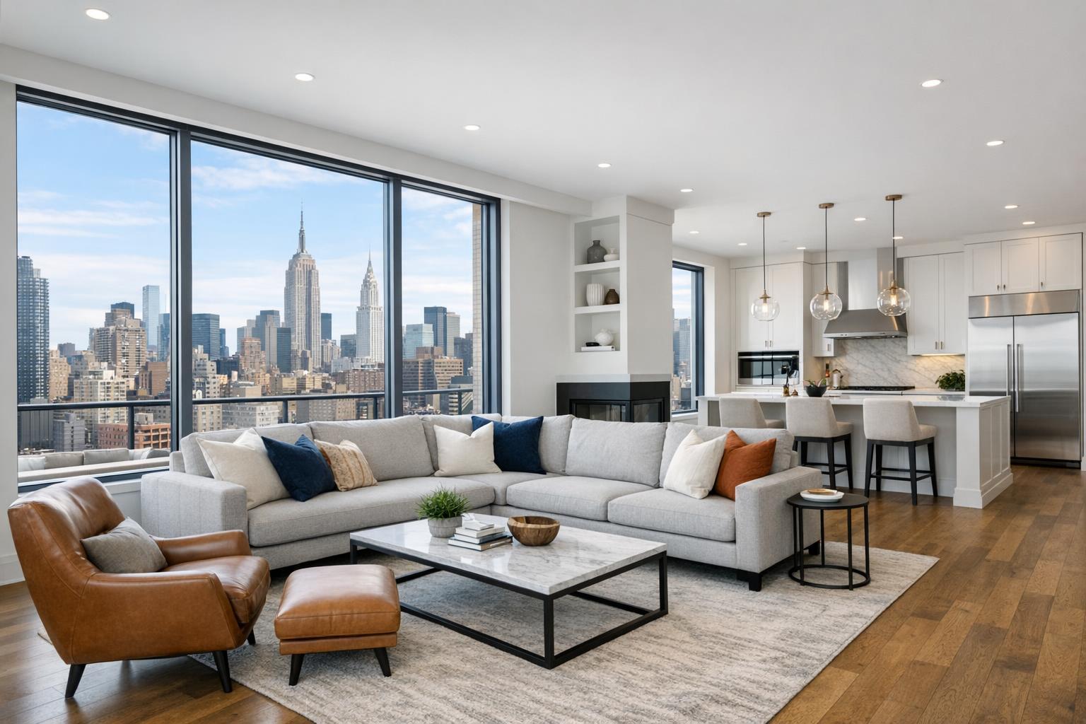
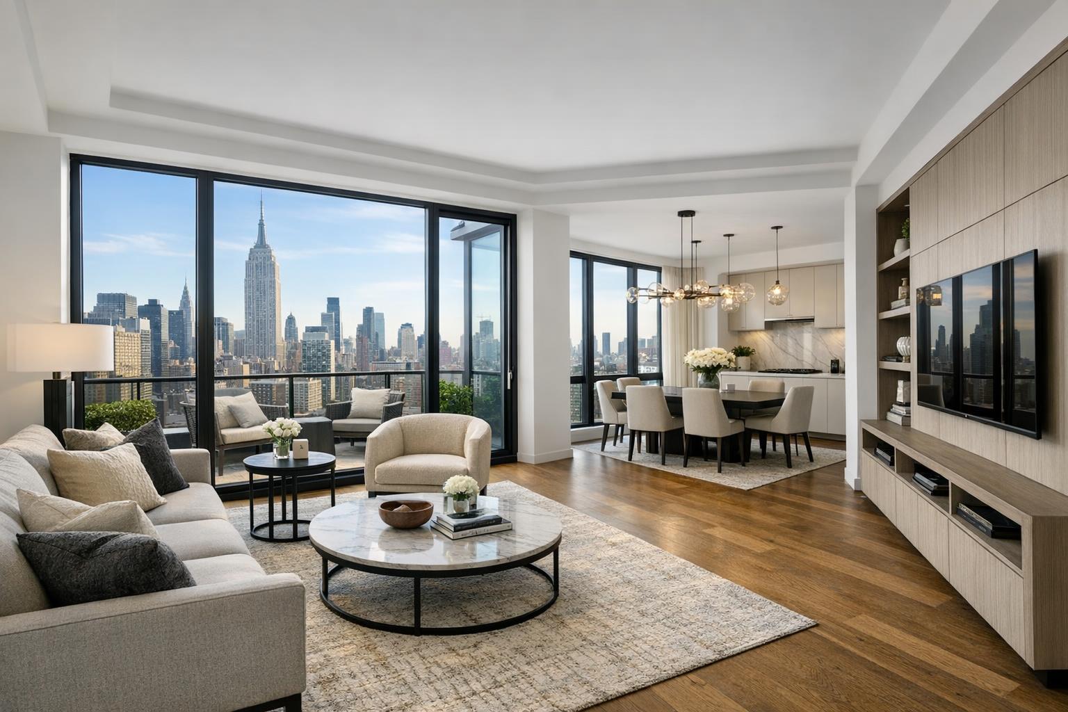
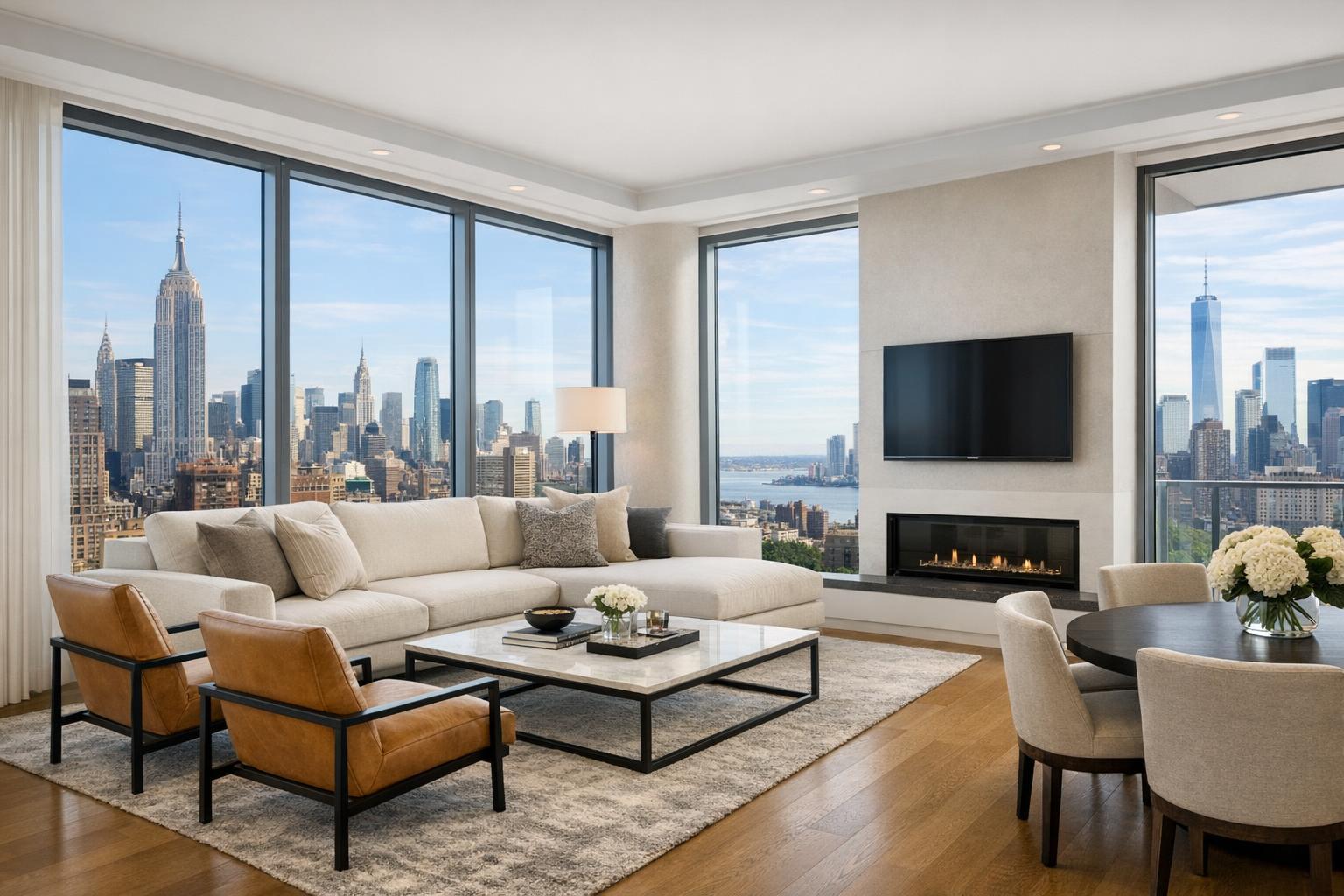
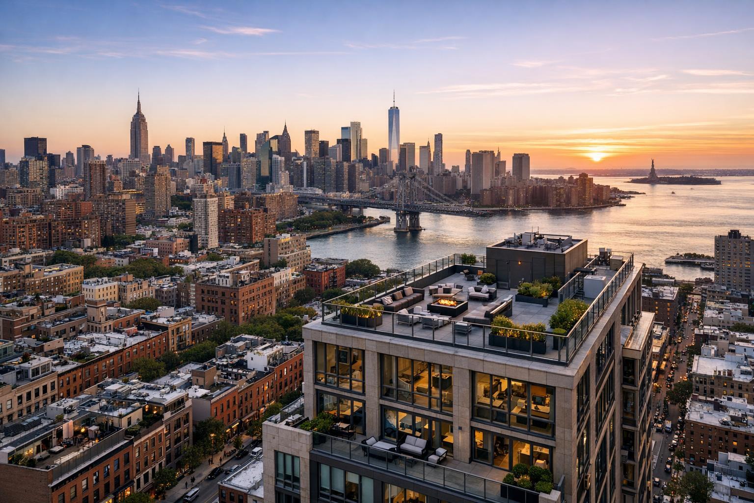
Drone photography captures the stunning skyline of NYC at sunset, featuring iconic buildings, the river, and a rooftop terrace.

The Benefits of Drone Photography for NYC Real Estate Listings
Drone photography in NYC has added a new dimension to how real estate agents and property owners present their listings. While traditional ground-level photos will always have their place, there’s something uniquely valuable about a well-executed aerial image: it sets the stage and puts the property in context, often answering questions that regular photos or written descriptions can’t.
Why Perspective from Above Matters
In a market as dense and competitive as New York City, buyers and tenants are bombarded with listings. Most properties offer features that are difficult to fully appreciate from street level or with interior shots alone. Drone photography real estate services lift the lens above the block, providing a clearer understanding of a property’s place in its neighborhood.
Aerial photography NYC doesn’t just show the structure — it shows how a townhouse sits among its neighbors, how a penthouse’s terrace relates to the skyline, or how a commercial building connects to cross streets and nearby transit. For real estate professionals, this means their marketing can give buyers a head start on understanding the broader story before they step inside for a tour.
What Aerial Images Uncover
When you look at real estate listings from street level, you get detail: finishes, fixtures, flow, and light. Drone photos add context and scale. Here’s what becomes possible with the aerial approach:
- The footprint and unique shape of a building
- Outdoor spaces: terraces, roof decks, private gardens, courtyards
- Relation to busy streets, parks, riverfronts, and transit lines
- Visual scale (especially important for commercial and multi-unit properties)
- Proximity to neighborhood landmarks
- Architectural details impossible to fit into a ground-level shot
NYC presents unique photographic challenges. Narrow sidewalks, towering adjacent buildings, and obstructions make it tough to fully showcase a façade or the approach to a home. Drone angles solve for that, often capturing what a buyer really wants to see — the relationship between the home and its surroundings.
Telling the Location Story
Buyers don’t make decisions based solely on what’s inside the four walls. Location, views, and the feeling of a block or neighborhood often drive value. Drone photography in NYC helps tell these “location stories” visually.
Some properties benefit the most:
Outdoor Amenities and Views
Private outdoor spaces have real weight in urban marketing. A drone can show if a roof deck is really above it all, if a terrace feels private, or how a garden extends into the block. The trick is capturing angles that make the scale clear without misrepresenting the feature.
Skyline, Waterfront, and Green Space
If a property’s main draw is the view — say, proximity to the Hudson River, East River, or the Manhattan skyline — a good aerial shot can highlight that connection. This isn’t about stretching the truth; it’s about providing useful context. For a waterfront listing, a wider drone photo might show water access and open space, while a penthouse’s value might be best understood from a vantage point that ties the terrace to sweeping city views.
Architectural Footprint
NYC is a patchwork of property types, and some need aerial photography to be understood at all. Brownstones, mixed-use buildings, new developments, commercial lots, and industrial spaces often make much more sense from above. Drone media can clarify corners, rooflines, and site access in ways that standard photos can’t deliver.
When Is Drone Media the Right Choice?
Not every listing calls for aerial photography, and that’s okay. Studio apartments or units without exterior space may be better served by strong interiors and an accurate floor plan. Drone media is most useful when it answers a real question about the property or location — not just because it’s a cool add-on.
Listings that see real value from aerial coverage typically include:
- Luxury townhouses, brownstones, and apartments with outdoor features
- New developments meant to communicate scale and neighborhood connections
- Commercial properties needing to showcase visibility, parking, and logistics
For these scenarios, combining drone and traditional photography can offer the most complete marketing toolkit. Some listings call for just a few polished aerial stills, while others may justify adding a short, cinematic drone video.
The Drone Shoot: Planning and Preparation
Getting excellent aerial photography in NYC isn’t as simple as sending a drone up above the block. There’s planning involved, and quite a few realistic limitations to be aware of:
- Prioritize which exterior features need to be shown (roof, terrace, garden, parking, entrance)
- Know if roof or terrace access is available — this can expand the range of possible angles
- Coordinate around building management, as access to rooftops often requires approval
- Schedule for the time of day when outdoor spaces will look their best
- Prep the property so exteriors present as well as interiors: remove clutter, arrange furniture, and clear walkways
The same effort that goes into staging a living room should apply to outdoor features before the drone arrives. It makes a visible difference in the finished product.
NYC Airspace, Compliance, and Practical Limits
Not every property in New York City is a candidate for a drone shoot, no matter how appealing the idea. Airspace restrictions, weather, tall neighboring buildings, limited landing zones, crowds, and building access all factor into whether a flight is safe and legal.
Professional drone work for real estate must comply with FAA Part 107 regulations as well as any relevant local or event-based rules. Sometimes, even after careful planning, a flight may not be possible due to safety or permitting requirements. At RealtaSnap, feasibility is always evaluated before confirming drone work, and roof access can help but doesn’t guarantee the project will move forward.
It’s also important for clients to be aware: RealtaSnap does not handle special municipal or NYPD permits that may be needed beyond standard FAA authorization. If additional permits are required and not provided, the shoot may have to be declined.
Choosing a Drone Photography Provider
Not all drone images are created equal. Real estate agents and property owners should look for a provider with expertise in real estate marketing, not just drone operation. Useful aerial photography means thoughtful composition that highlights both the building and its place within the city.
Key qualities in a provider:
- Familiarity with airspace, permissions, and access requirements
- Understanding of property marketing (not just skyline beauty shots)
- Ability to compose useful, clear real estate images and video
- Coordination of aerial media with the full property marketing plan
- Transparent communication when flights are not feasible
- Delivery of images and video that match the listing’s style and needs
If you want a more complete look at RealtaSnap’s NYC drone offerings, including photo, video, and combination packages, you can find details at drone photography and video services.
Making Drone Imagery Part of the Listing Strategy
The best real estate marketing is always tailored to the strengths of the property. Interiors, floor plans, and video tours each help buyers understand what’s inside — aerial photos add the external story that ties everything together.
For a Brooklyn brownstone, you might use drone imagery to highlight a private garden and the property’s presence on the block. A commercial space could use aerials to preview corner visibility, parking, and access routes. The goal isn’t to add drone photos to every listing, but to use them where they genuinely help tell the story.
When aerial photography brings value, it can be the first thing that catches a buyer’s attention — and often, the detail that brings the listing into clearer focus.
If you’re considering drone media for a property in NYC, and want to know what’s possible, visit RealtaSnap.com to start the conversation.
FAQ
Question: Is drone photography possible for every property in NYC?
Answer: Not always. Airspace rules, safety, weather, site access, and local permits can all affect feasibility. Each address is reviewed before scheduling a flight to ensure that aerial work can be done safely and legally.
Question: How much does RealtaSnap charge for drone photography?
Answer: Pricing for drone services is straightforward: $209 for a set of 10 HDR aerial images, $229 for a one-minute 4K drone video, or $299 for both photo and video. Final confirmation depends on airspace and site assessment.
Question: Does a drone shoot require roof access?
Answer: While not always required, roof access can make a big difference. It may allow for more creative angles and improve the odds of completing the shoot — especially in parts of NYC where space on the ground is limited.
If you’d like to discuss your next NYC listing and explore whether drone photography makes sense, RealtaSnap is ready to help at www.RealtaSnap.com.