Why Drone Photography is Transforming NYC Real Estate Listings
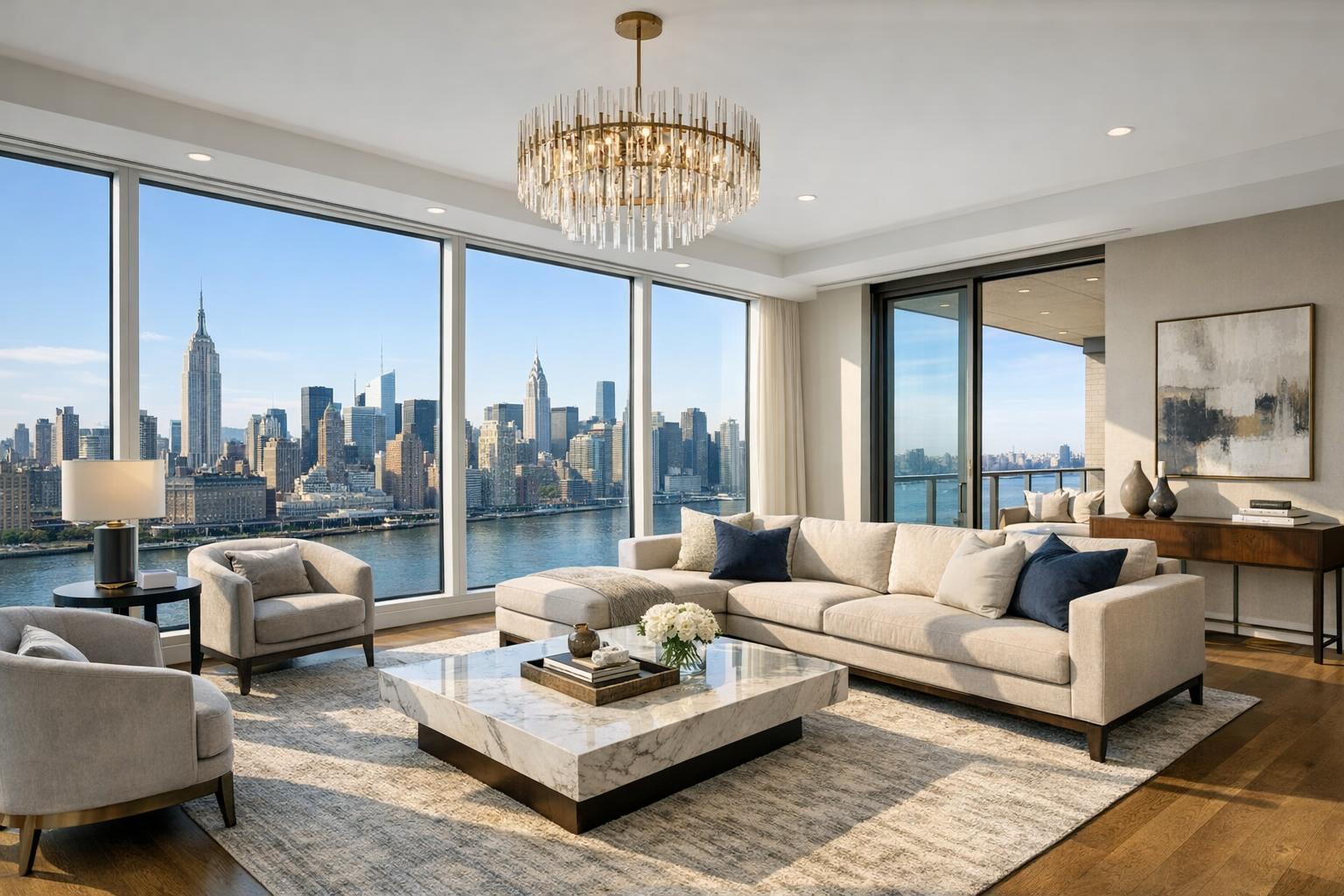
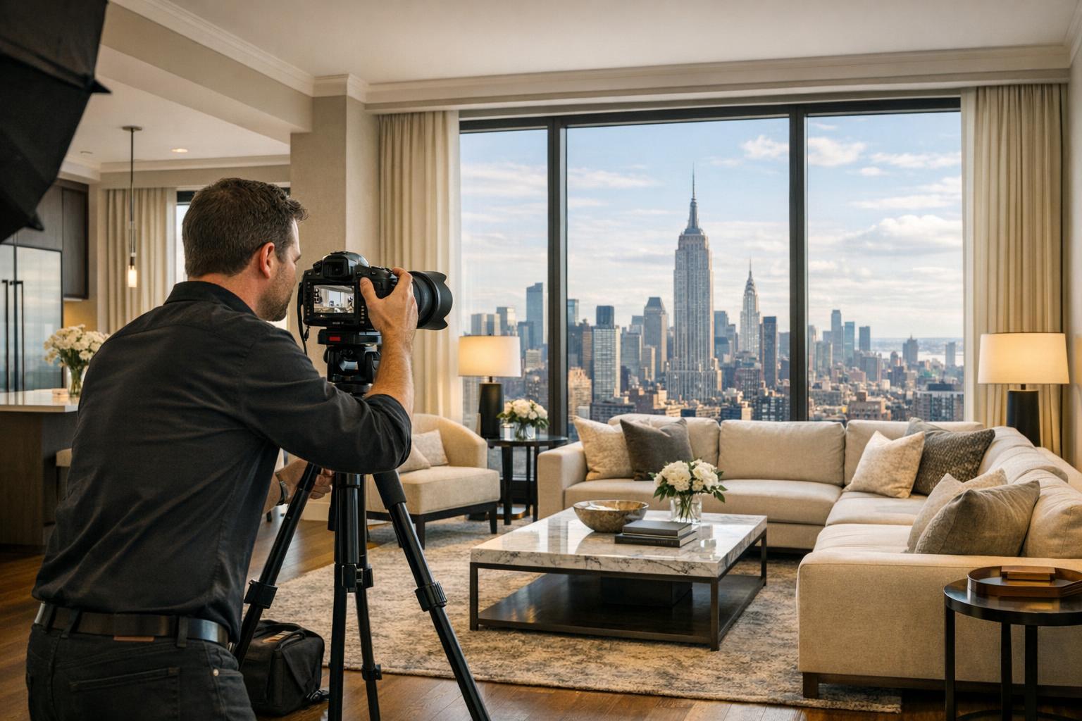
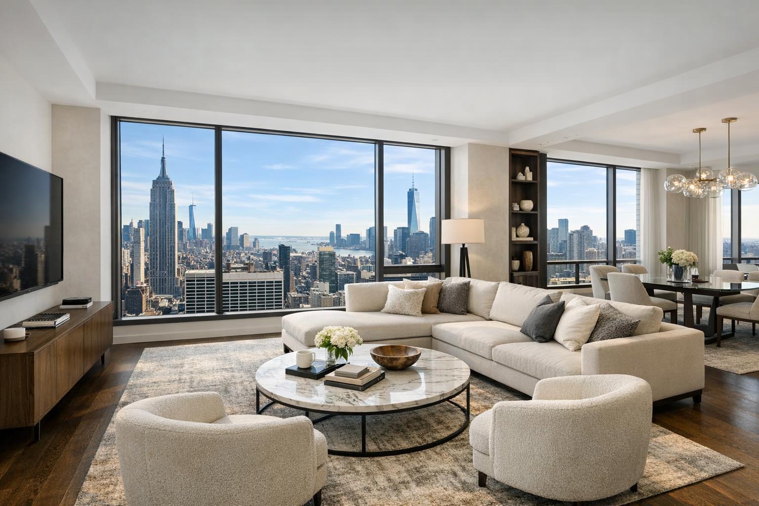
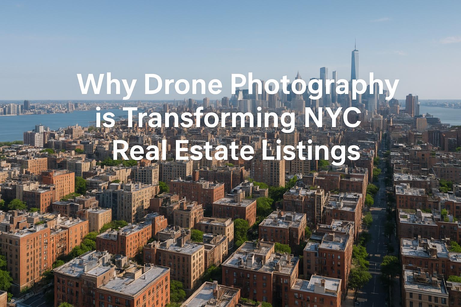
Drone photography showcases a stunning aerial view of New York City, emphasizing its impact on transforming real estate listings.

How Drone Photography Real Estate is Transforming NYC Listings: Why Aerial Views Capture More Buyers
Introduction
In the fast-paced world of real estate photography in NYC, standing out isn’t just about great interiors or sharp images—it’s about offering buyers an unforgettable perspective. That’s where drone photography real estate comes in. By incorporating aerial real estate photography, Manhattan penthouses, Brooklyn brownstones, and North Jersey estates are now showcased in breathtaking new ways. In this guide, you’ll learn how drone photography is changing the game for agents and sellers, driving increased buyer engagement, highlighting property features, and making marketing strategies more effective than ever.
The Problem: Traditional Photos No Longer Stand Out
NYC real estate is among the most competitive markets in the world. Scroll through any listing site, and you’ll see page after page of standard interior snapshots and curbside exteriors. For sellers and agents, this presents a real challenge: how do you set your property apart from countless others just like it?
Traditional photography is limited by ground-level views. It can’t capture skyline vistas, unique rooftop amenities, outdoor space context, or proximity to neighborhood highlights—especially in dense urban settings like Manhattan and Brooklyn. The result? Listings blend in. Buyers may overlook show-stopping features simply because they’re invisible from inside or street level.
Worse still, those properties with only basic photos can seem less valuable, less interesting, and ultimately less worth touring in person. For markets like North Jersey, where properties often feature generous outdoor space or sweeping Manhattan views, missing the aerial perspective means missing a big part of the story.
How RealtaSnap Solves It: Professional Drone Photography That Elevates Your Listing
RealtaSnap specializes in high-impact real estate photography in NYC, including drone photography real estate and aerial real estate photography that bring properties to life from every angle. Our expert local drone team is FAA-certified and brings all the regulatory know-how needed to safely and legally capture dramatic aerials—whether you’re in the heart of Manhattan, a brownstone neighborhood in Brooklyn, or an expansive property in North Jersey.
We take the stress out of compliance and access issues, handle all technical prep and safety evaluations, and provide swift scheduling (often with just 24 hours’ notice). In a single session, your listing can move from generic to extraordinary—with crisp 4K and HDR drone images that show off rooftop patios, landscaped gardens, full building scale, and breath-catching neighborhood context.
Examples of Drone Benefits for Local Agents
- Manhattan high-rise: Highlight rooftop spaces, city views, or exclusive amenity decks that can’t be seen from ground-level.
- Brooklyn townhouse: Demonstrate proximity to neighborhood parks, yards, and the cityscape behind.
- North Jersey estate: Capture the full property layout, showcase waterfront access, or present stunning skyline vistas.
Aerial shots aren’t just for sprawling suburbs: they can also show how close you are to transit, dining, or cultural institutions—the features buyers want but can’t always see in a typical photo set.
For agents worried about scheduling, RealtaSnap’s booking process is seamless and transparent—address entry, service options, and online payment take just minutes, and you’ll receive your professionally edited drone photos within 24 hours【20:1†RealtaSnap_Booking_Process_MASTER.docx】.
Key Benefits of Partnering with RealtaSnap
- Fast, hassle-free booking and next-day delivery
- FAA-certified, fully insured drone pilots
- Local expertise in NYC & North Jersey for best airspace access
- 4K/HDR images with blue sky replacements as needed
- Precise, safe, and regulation-compliant flights every time
- Creative post-production editing and enhancements
- Showcases amenities, neighborhood, and outdoor space
- Boosts listing click-through and buyer curiosity
- Smooth integration with videos, floor plans, and 3D tours
- Flexible packages for every size, from condos to estates
- Affordable, transparent pricing with no hidden fees
Comparison: Drone vs. Traditional Real Estate Photos
Traditional photography delivers polished interiors and exteriors from the ground, but it simply can’t give buyers a sense of scale, setting, or context. In dense NYC boroughs or sprawling Jersey suburbs alike, that’s a critical gap.
Drone images:
- Reveal rooftop terraces, gardens, and pool decks in one shot
- Show orientation to Central Park, Prospect Park, or the Hudson
- Make spacious driveways, lush lawns, or unique angles visible at a glance
- Showcase proximity to local landmarks that drive value
Traditional images:
- Limited to sightlines from ground level or inside
- Struggle to distinguish between similar units or properties
- Often miss opportunities to tell the property’s full story
The result? Listings with aerial real estate photography consistently generate more interest, longer engagement, and higher showing rates. Buyers appreciate transparency and excitement—when they can see the “full picture,” they’re more likely to visit, make offers, and remember your listing.
What Sellers and Agents Should Look For in a Drone Photography Service
Not all drone providers are created equal. In complex regulated airspace like New York City, you need a partner with local knowledge and the right credentials. Here’s what to ask about:
- Are pilots FAA Part 107 licensed?
- Does the team understand local airspace restrictions and building access?
- Is the service fully insured for real estate marketing—not just hobby flights?
- How quickly are photos delivered after the shoot?
- Will you receive edited, blue-sky-ready images (not just raw files)?
- Are neighborhood context shots included for urban homes?
- Can drone assets be packaged with video, floor plans, or 3D tours for a seamless presentation?
- Is there transparent, upfront pricing that fits your project scale?
RealtaSnap delivers on every one of these points, making the process smooth, safe, and reliably high-quality. Drone sessions start at just $209 for 10 HDR photos (with blue sky replacement as needed), or $299 for a combo photo/video shoot.
All prices and information are subject to change. Information is deemed reliable but not guaranteed【20:3†RealtaSnap_Rate_Sheet_MASTER.docx】.
Benefits of Working with a Local Expert Like RealtaSnap
- Trusted by NYC and North Jersey agents for deep market knowledge
- Ability to advise on the best aerial angles, even in dense urban settings
- Handles all regulatory and airspace compliance details for you
- Rapid turnaround ensures you stay ahead of fast-moving competition
- Flexible add-ons, including video, twilight, and virtual tours, for a full marketing suite
- Proven results in boosting buyer engagement and online listing traffic
Learn more and explore RealtaSnap’s full suite of NYC and New Jersey aerial services:
RealtaSnap Drone Photography & Videography NYC
And for tailored packages, visit RealtaSnap Real Estate Photography NYC.
Conclusion & Call to Action
Aerial real estate photography isn’t just a trend in the NYC market—it’s an essential tool for sellers and agents who want to maximize visibility and engagement. Ready to upgrade your marketing, get more eyes on your property, and truly stand out? Work with the local experts at RealtaSnap and watch your listing soar (literally and figuratively). Fast scheduling, transparent pricing, and top-tier quality—every time.
Discover how easy it is to elevate your next listing—book your session or get more information now at www.realtasnap.com.
Frequently Asked Questions
1. Isn’t drone photography too complex or risky for urban settings like NYC?
It’s natural to worry about safety and regulations in crowded cities. RealtaSnap’s FAA-certified pilots know the ins and outs of local rules, so your aerial shots are captured safely and legally every time.
2. Are drone photos really worth the investment for my listing?
Many agents hesitate due to budget concerns. But properties with professional aerial shots consistently get more attention, especially in markets like Manhattan and North Jersey—making your listing more competitive and memorable with RealtaSnap’s expertise.
3. How fast can I get my drone images after the shoot?
Waiting for media delivery can stall your listing launch, but with RealtaSnap, your edited drone photos are delivered within 24 hours—so you can go live faster and take advantage of every buyer opportunity.