A Complete Guide to Drone Photography in NYC Real Estate Marketing
Drone photography captures a stunning aerial view of NYC, showcasing the skyline, river, and modern rooftop terraces during a clear day.

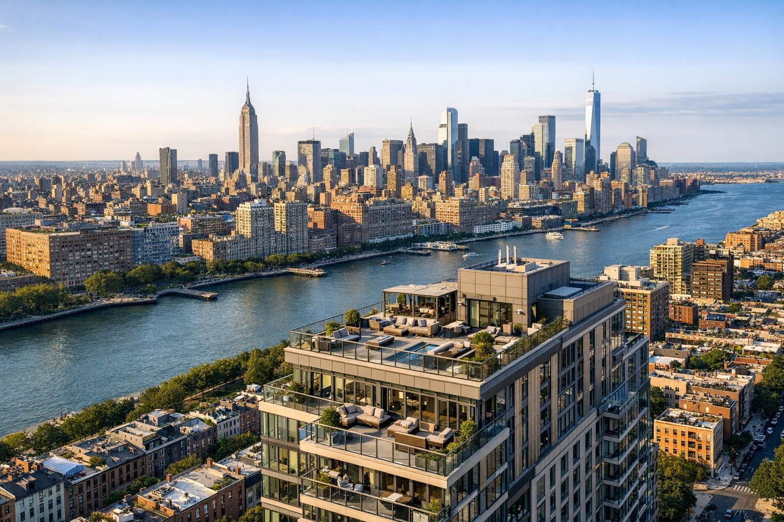
Drone Photography NYC: Transforming Real Estate Listings with Aerial Perspective
Introduction
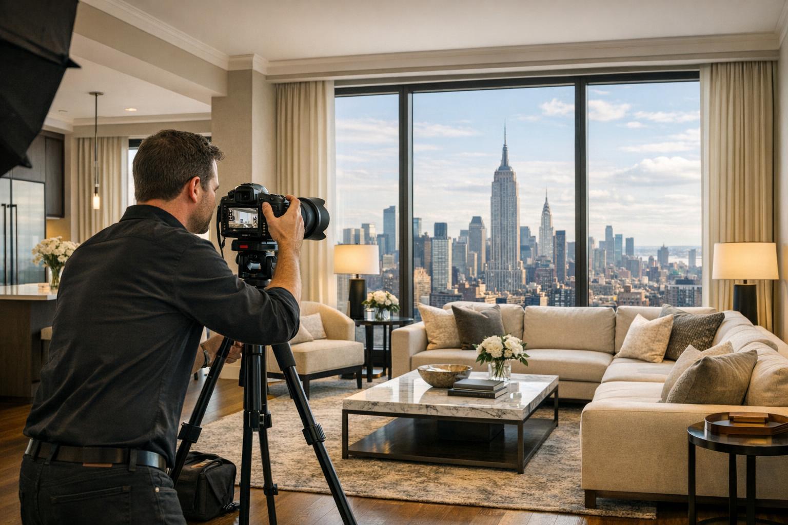
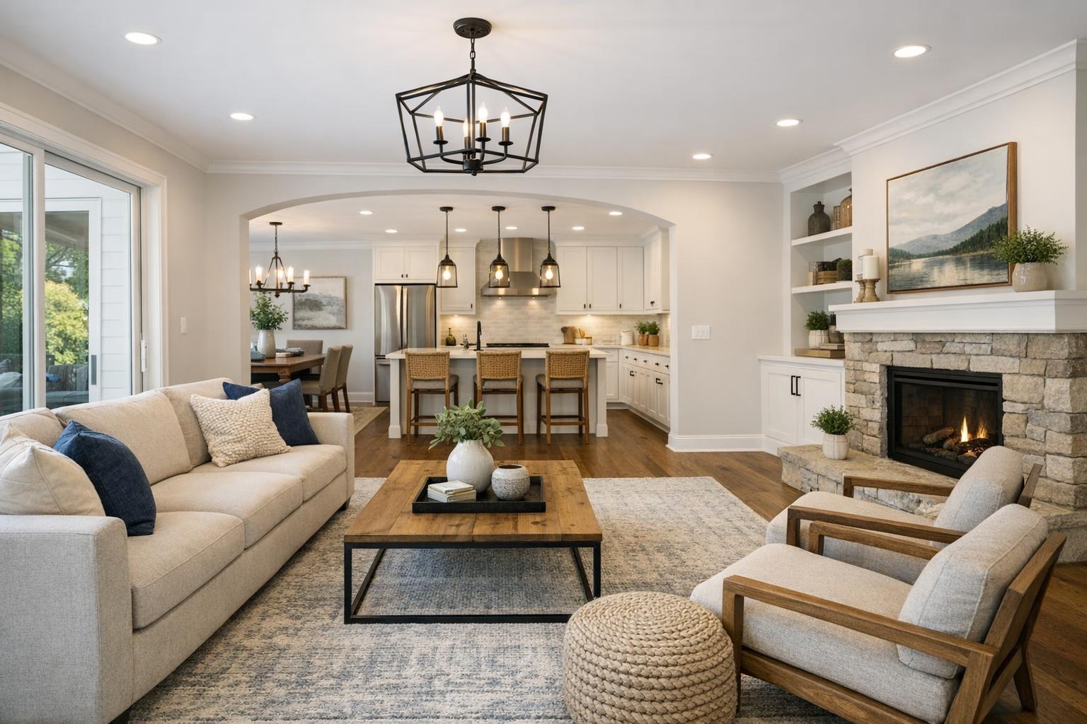
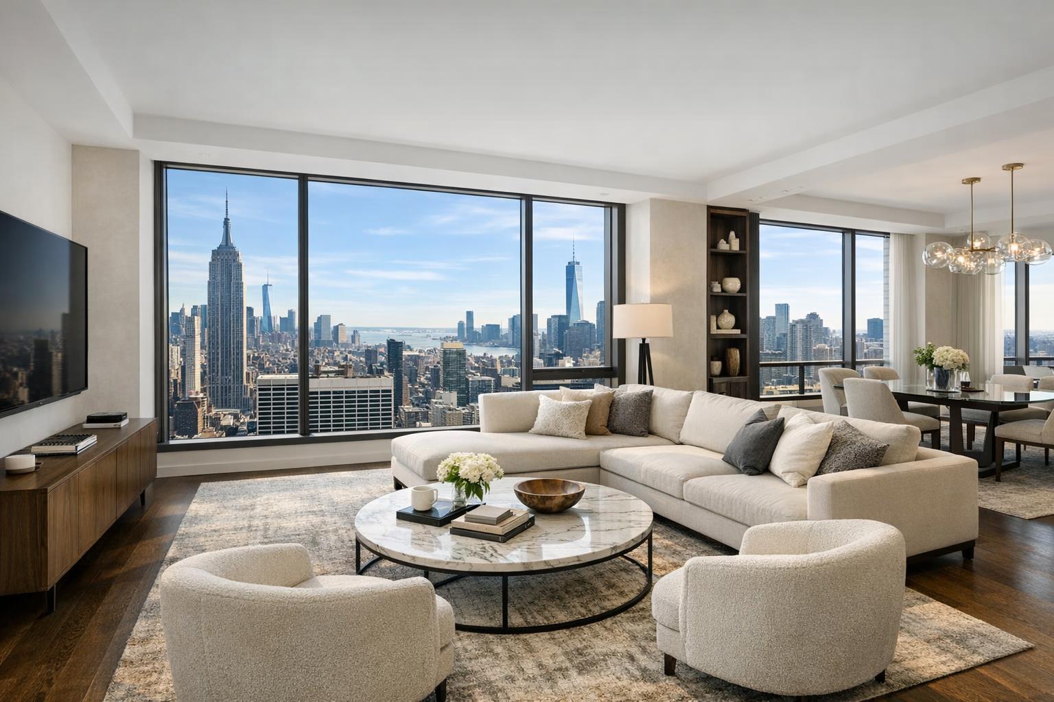
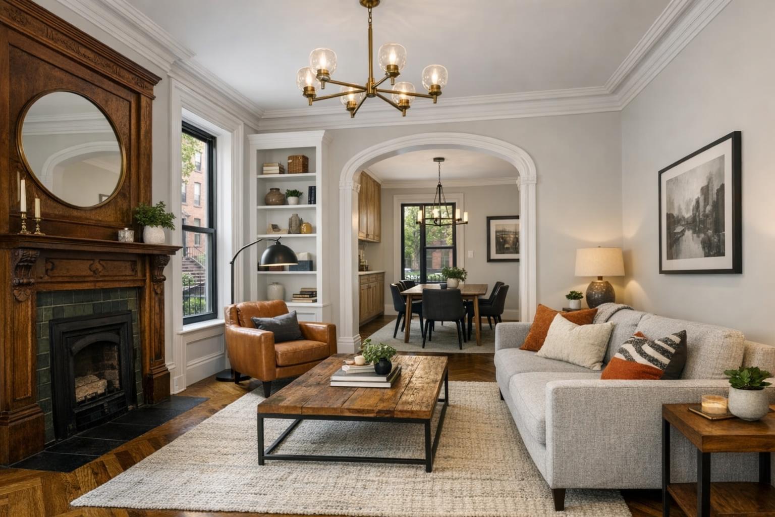
If you want your real estate photography in NYC to stand out, embracing drone photography NYC is the next logical step. In a dynamic market where buyers have endless options and short attention spans, eye-catching visuals have never been more important. From sweeping skyline shots to immersive neighborhood flyovers, drone photography real estate services are revolutionizing how agents present—and ultimately sell—properties. In this article, we’ll explore how aerial real estate photography is changing the game for New York City real estate, why it resonates with buyers, how you can safely add drones to your marketing strategy, and what makes RealtaSnap’s approach so effective in NYC’s unique urban landscape.
The Problem: Flat Listings Fail to Inspire
NYC real estate moves fast. Yet despite the fierce competition, many listings still rely on basic ground-level photos and stale video tours. The result? Properties are lost in a sea of sameness. Without context for location, views, and neighborhood vibe, even the most impressive apartment or townhome can feel ordinary online.
Agents face tough challenges:
- How do you truly capture a building’s exterior charm in a crowded cityscape?
- How can you showcase proximity to landmarks, parks, or transit at a glance?
- With so many listings online, how do you get buyers to click and connect?
Photos alone can’t deliver the sense of scale, light, and lifestyle that gets serious buyers excited. Today’s buyers want more context, more story, and more emotion in their first impression.
How RealtaSnap Solves It
RealtaSnap redefines real estate marketing with a full suite of drone photography NYC services tailored for the city’s most challenging environments. Our FAA-certified drone pilots and skilled editors use advanced aerial photography and 4K videography to capture everything that makes a property—and its surroundings—truly unique. Whether it’s a pre-war brownstone, luxury condo, or commercial office, RealtaSnap’s drone photography real estate offerings:
- Showcase entire buildings, rooftops, and amenities in context with their neighborhood
- Deliver breathtaking perspectives of parks, rivers, and landmark views
- Integrate dramatic sunrise or sunset lighting for ultimate visual impact
- Create cinematic lifestyle videos that let buyers “fly” through the property and community
The goal? Give every listing the context and emotional punch that turns casual browsers into committed buyers. With RealtaSnap, every detail is managed—from airspace checks and local permitting considerations, to post-production edits and next-day delivery.
Benefits of Choosing RealtaSnap
- Fast, next-day delivery for final drone photo and video assets
- FAA-compliant, fully insured drone operations
- HDR and 4K options for crisp, jaw-dropping clarity
- Seamless combination of drone and ground-level photography
- True-to-life neighborhood and amenity footage for buyer engagement
- Dedicated local tech and support team
Comparison with Competitors
While some providers offer one-size-fits-all aerial real estate photography, RealtaSnap stands out with:
- Faster Turnaround: Final edited drone and aerial products delivered within 24 hours, not days.
- NYC Expertise: Pilots experienced in navigating city airspace and rooftop access for the best angles.
- Simple Pricing: Transparent, a la carte rates—10 drone photos start at $209, a 4K drone video at $229, and a combined drone photo + video package at $299. All prices and information are subject to change. Information is deemed reliable but not guaranteed.
- Client Experience: End-to-end support, guidance, and walkthroughs—plus an easy online booking platform for quick scheduling.
Check out our full offering and sample work on the RealtaSnap Drone Photography & Videography NYC page.
Why Drone Photography Real Estate Matters in NYC
Drone photography isn’t just about taking a property “from above.” It’s about telling a complete visual story for buyers in the world’s most competitive market. Here’s why it makes a difference:
- Showcase Location: Instantly connect a property to nearby parks, water, and transit.
- Highlight Amenities: Pool decks, rooftop gardens, lounges, and outdoor spaces come to life from the air.
- Establish Scale: Capture a townhouse’s facade, multifamily footprint, or development in context—not possible with ground photos alone.
- Visualize Views: Let buyers see what makes the top floor or corner unit so special before they arrive.
- Drive Engagement: Listings with aerial images see higher click-through, longer on-page time, and more qualified showings.
Practical Tips for Agents Using Drone Photography NYC
- Plan for Airspace: Manhattan and the outer boroughs have restricted and controlled zones. Only use FAA-certified pilots who understand NYC drone regulations.
- Secure Roof Access: The best vantage points come from open rooftops or terraces. Coordinate with your building manager ahead of time.
- Consider Timing: Early morning or golden hour light elevates both photos and videos. Plan your shoot for maximum visual appeal.
- Pair with Ground Photos: Use a combination of drone and elevated ground shots for a full presentation.
- Highlight What’s Unique: Direct your drone operator to capture signature views—Central Park, skyline, bridges, waterfronts, or streetscape.
- Prioritize Safety & Compliance: Don’t cut corners; always verify insurance, licensing, and property permissions.
NYC Regulatory and Safety Factors: What You Need to Know
- FAA Part 107 Certification Required: RealtaSnap’s pilots all hold this credential; never fly with unlicensed operators.
- Airspace Permissions: NYC drone flights sometimes require additional approvals (FAA waivers, building access). Our team conducts a pre-site assessment for every job.
- Client Permitting: Most projects only need standard FAA authorization, but events, productions, or certain areas may require NYC/NYPD permits—clients must arrange these, as RealtaSnap does not obtain special permits on your behalf.
- Urban Density: Not all addresses are flyable due to crowding, safety, or airspace restrictions—but we’ll always assess feasibility and offer creative alternatives.
For more details and to view specific service options, visit the RealtaSnap real estate photography NYC service page.
Conclusion & Call to Action
Aerial real estate photography is more than a trend—it’s a marketing essential in a city as diverse and vertical as New York. Drone photography NYC helps your listings rise above the clutter, illustrates lifestyle to buyers, and maximizes every pixel of your marketing investment. RealtaSnap brings insider expertise, rapid delivery, and a seamless process to help you win more listings and close faster.
Ready to elevate your listings? Explore our drone photography and videography options here or browse the full suite of NYC real estate media services at RealtaSnap.com.
Frequently Asked Questions
1. Isn’t drone photography in NYC too risky or regulated for regular real estate marketing?
It’s true that NYC has strict airspace rules, but RealtaSnap’s FAA-certified team navigates all compliance and safety steps, ensuring fully legal, insured flights so you get the benefits without the headache.
2. Are aerial real estate photos and videos worth the extra investment?
While it’s tempting to stick to traditional photos, listings with aerial assets consistently see more interest and higher engagement. RealtaSnap’s transparent pricing makes it easy to choose the best upgrade for your listing.
3. Can I get high-quality drone photography delivered quickly for my NYC property?
Some vendors take days, but with RealtaSnap, fully edited drone photos and videos are delivered within 24 hours—so you never miss the window to wow buyers and beat the market.