Drone Photography in NJ: When Aerial Media Makes Sense for a Listing
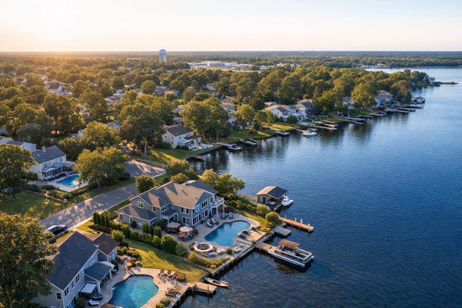
Drone photography NJ captures a scenic view of waterfront homes with private docks and lush greenery during a sunny day.

Drone Photography in NJ: When Aerial Media Elevates a Property Listing
Drone photography in NJ is more than just a stunning visual add-on—it’s a tool that can shine a light on a listing’s best features or give needed context, especially when ground-level photography only tells part of the story. The real question is not whether drones are impressive (they are!), but when aerial media genuinely earns its place as part of an effective real estate marketing strategy.
Aerial Media’s Unique Value for Real Estate Listings
Professional listing photography does most of the heavy lifting, capturing interiors, curb appeal, and the details buyers experience firsthand. But sometimes a listing has a story that’s not easily told from eye level. This is where aerial real estate photography comes in, offering a fresh perspective that helps buyers see a property’s place in the world—its scale, setting, and relationship to neighboring landmarks.
A well-timed drone shot can answer common buyer questions:
- How big is the lot, really?
- Is that home actually on the waterfront, next to a park, or near transit?
- What does the roofline or outdoor setup look like from above?
- How do commercial parcels, parking, or shared amenities fit into the whole?
In short, aerial imagery is at its best when it fills a visual gap left by traditional listing photos.
Properties That Truly Benefit from Aerial Coverage
Not every listing justifies the investment in drone media. Some property types in New Jersey, however, can see real value:
Larger Lots, Estates, and Multi-Structure Sites
Aerial images excel when you’re showing off scale—think homes with sprawling grounds, intricate landscaping, multiple outbuildings, or striking driveways. Elevated shots can provide context in a single glance that would take a dozen ground-level images to cover.
Waterfront Properties and Homes with Big Views
Jersey Shore homes, properties with river frontage, or those next to lakes and marinas have a story that begins with location. Drone coverage can map out proximity to water, docks, outdoor living spaces, and the property’s exact position along the shoreline—crucial for buyers who value setting as much as interior finishes.
Distinctive Architecture and Rooflines
Some properties reveal their true character only when viewed from above—think symmetrical historic homes, modern builds with unique geometry, or houses with wraparound porches and custom rooflines. Aerial shots can showcase these architectural strengths, accentuating features that simply don’t register from the street.
Commercial and Development Sites
For office buildings, retail centers, apartment complexes, or future development parcels, aerial media shows footprint, access points, parking, and the property’s relationship to surrounding business activity. Drone video, in particular, can introduce the scale of a site before viewers tour the interiors.
Listings Near Noteworthy Local Amenities
If being next to a park, marina, rail station, or downtown district is essential, the right aerial shot can help buyers understand how close—and how accessible—those features are. These context-driven images must always be accurate, never misleading about proximity or access.
When Drone Media Isn’t the Best Fit
It’s worth remembering: not all listings need drone photography, and sometimes forcing it can actually distract from what makes a home worth buying. Skipping aerials can make sense if:
- The lot is compact and surrounded by buildings or dense tree cover
- The strongest features are all inside
- The nearby landscape doesn’t add value to the marketing story
- It’s tough to achieve meaningful visuals due to local restrictions or scheduling issues
- There’s simply nothing relevant to reveal from above
For many condos, townhomes, or urban listings with little exterior space, investing in professional interiors, exterior shots, a floor plan, or a well-paced listing video is likely to add more clarity for buyers.
Making Aerial Media Work: Planning for Usefulness
The secret to effective aerial real estate photography is intention. Drone images aren’t just about altitude—they’re about capturing something useful and relevant. Before ordering, agents and marketers should consider:
- Is land, layout, or proximity the main selling point?
- Would a video flyover help buyers grasp access, parking, or neighborhood context?
- Are there outdoor features—pools, gardens, unique rooflines—that need a bird’s-eye view?
- Does movement (via drone video) add drama or clarity that stills can’t achieve?
Intentional, tight aerial sequences often outperform long, repetitive videos. And when motion supports the narrative—such as approaching a home from the street or revealing waterfront context—it becomes much more than just a pretty shot.
Drone Feasibility in New Jersey: What Really Matters
Even if a listing is primed for great aerials, not every property can be flown legally or safely on every day. Several factors decide what’s possible:
- Airspace and Local Restrictions: Parts of NJ are close to airports, heliports, and transportation routes that require FAA authorization—or rule out flights entirely.
- Weather and Conditions: Wind, rain, and low visibility don’t mix well with drones. Even on a clear day, conditions can change, so flexible scheduling and pilot discretion play a big role.
- Safe Operation and Access: The pilot needs both takeoff space and a clear area free of power lines, crowds, or construction. Sometimes, roof access makes previously tricky locations possible, but it’s never a sure thing.
- Permitting: RealtaSnap follows all FAA Part 107 guidelines, but does not pull municipal, NYPD, or special event permits. When these are needed, clients must handle approvals, and some projects may not be viable.
Aerial services are always for real estate marketing—not for architectural inspection, engineering surveys, or facade analysis.
Getting the Mix Right: Aerials as Part of Your Listing Media
Drone media works best as part of a thoughtful visual package. Even the most dramatic flyover won’t replace good HDR photographs that show essential rooms and exterior entry points.
A robust property package might include:
- Clean, professional HDR photography (inside and out)
- Aerial images for lot size, setting, or signature features
- Drone video clips, if movement will enhance the listing’s story
- On-site video walkthroughs when flow or lifestyle is key
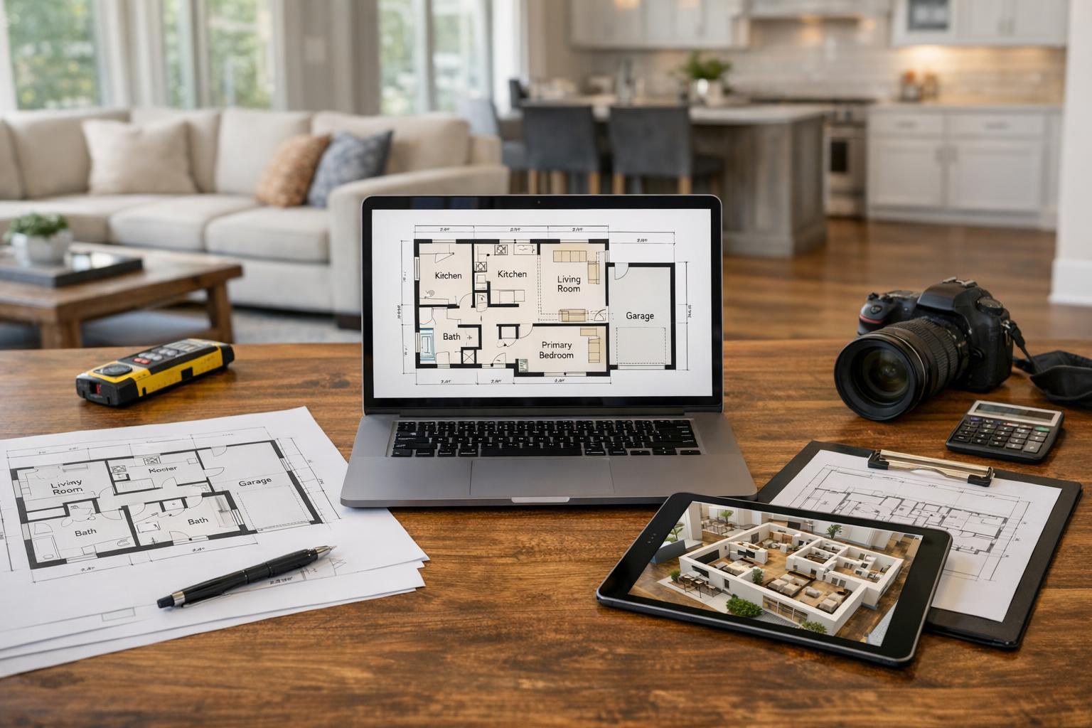
- A floor plan, when layout and relationships need clarification
RealtaSnap offers flexible drone options—including a 10-photo HDR aerial package, a one-minute 4K drone video, or a combined option for listings that benefit from both still and motion assets. The best pick always comes down to what will actually help agents, buyers, and sellers understand the property.
To see details or book aerial services alongside other property media, visit RealtaSnap’s drone photography and video page.
Preparing a Property for Drone Day
Exterior presentation carries a bit more weight with aerial real estate photography since the whole setting gets a once-over. Some prep goes a long way toward making those images truly shine:
- Move cars off the driveway (if possible)
- Close garage doors and storage areas
- Remove trash bins, hoses, and tools
- Straighten patio furniture and pool accessories
- Clear away construction materials
- Secure any outdoor items that might blow away
- Coordinate gate codes, access notes, or roof details as needed
- Notify occupants or property managers about the appointment
The goal isn’t to make everything look staged—just to reduce distractions so the home looks inviting and the setting is easy to understand.
Booking Drone Photography in NJ with RealtaSnap
When you’re ready to schedule, start by gathering the property address and any notes on access or special features you want highlighted. RealtaSnap offers online self-scheduling and only needs 24 hours’ notice for most appointments. You’ll select the services you need, choose your time from a live calendar, and add specific instructions for the shoot. For standard projects in New Jersey and New York City, flight feasibility is confirmed for each address and set of conditions.
Ready to add aerial media to your next listing? Learn more or schedule at www.RealtaSnap.com.
FAQ
Question: How much does drone photography cost for a real estate listing in New Jersey?
Answer: RealtaSnap’s drone photo package is $209 for 10 HDR aerial images. A final one-minute 4K drone video is $229, while the combined photo and video package is $299. All flights are subject to standard review for feasibility and compliance.
Question: Can every property in NJ be photographed with a drone?
Answer: Not every property is suitable for drone flights. Airspace rules, weather, location access, and safety factors must align. Some areas require FAA authorization or local permits, and in rare cases, a flight may not be permitted at all.
Question: Should I order drone photos, video, or both for my listing?
Answer: If your listing’s lot size, setting, or exterior features are important, drone photos can help. Choose video if showing movement or a site’s approach adds value—especially for waterfront or large properties. Packages are available individually or as a bundle so you can tailor the coverage to your marketing needs.
If you need skilled, local aerial real estate photography and want honest guidance on whether drone media makes sense for your property, visit www.RealtaSnap.com.