Drone Photography Near Me: How to Choose a Real Estate Media Provider
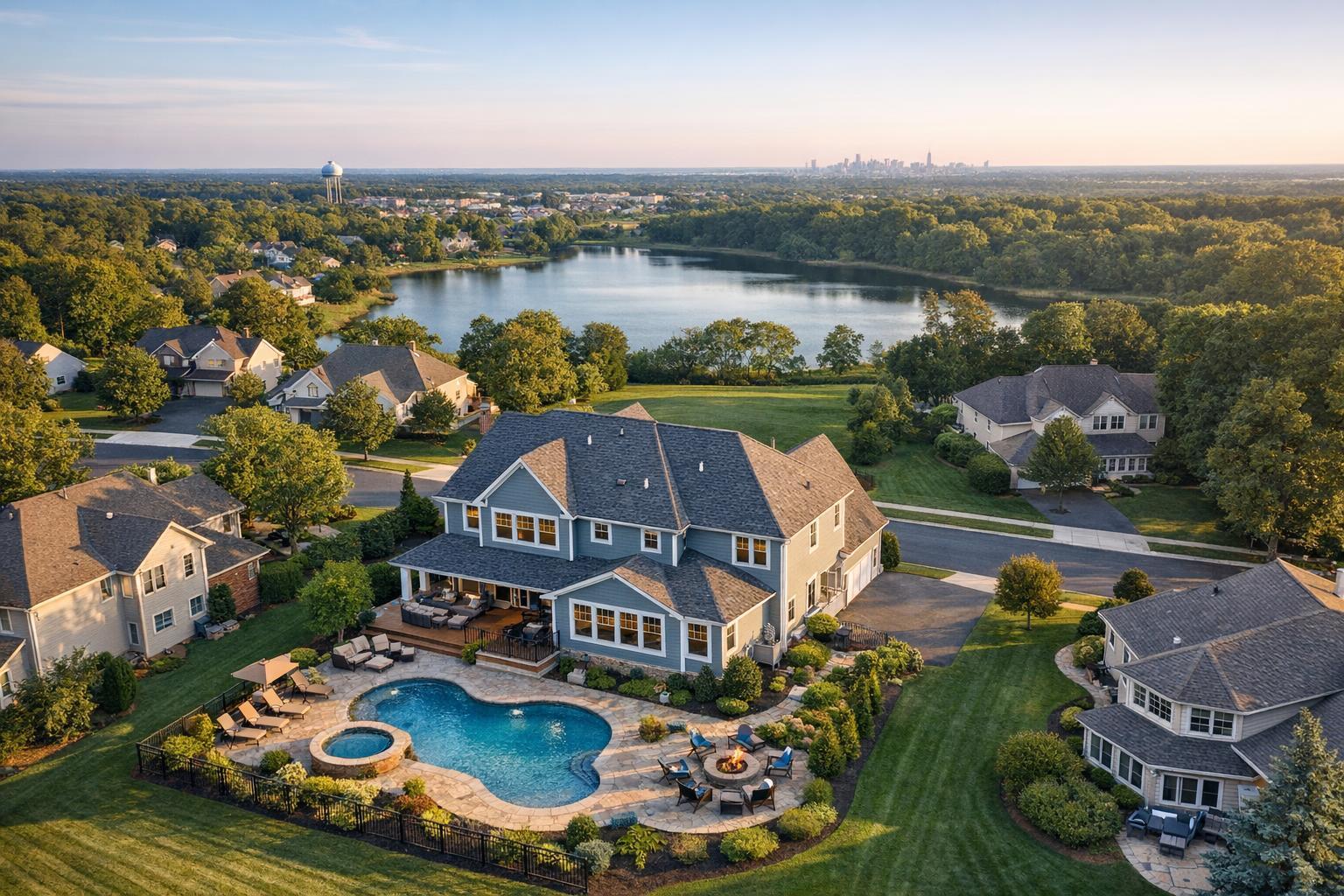
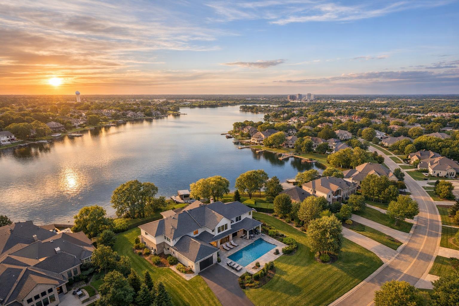
Drone photography near me captures a picturesque lakeside community with sprawling homes, lush greenery, and a tranquil sunset reflecting on the water.

Drone Photography Near Me: How to Choose a Real Estate Media Partner
Searching for drone photography near me signals an immediate need: you have a property that deserves to be seen from above, and you want to know if hiring a drone team nearby actually makes sense for your listing. The answer isn’t just about finding the closest provider—it’s about knowing what aerial images can reveal, which properties truly benefit, and how to select a service that understands the NYC and New Jersey market’s unique challenges.
If you’re a real estate agent, broker, or property owner in Manhattan, Brooklyn, or anywhere in New Jersey, here’s a straightforward guide to deciding when drone media is the right move, what to ask before you book, and why local context matters more than ever.
Why Aerial Real Estate Photography Stands Out
Professional property photos are always the backbone of any solid listing, but aerial imagery adds something special. Captured from above, drone visuals can:
- Reveal the actual lot size and layout, including landscaping and any outdoor amenities
- Show off waterfront positioning, dock access, or proximity to the shore
- Bring views of skylines, water, parks, or nearby open land into focus
- Highlight architectural features and how they relate to the land or surroundings
- Put a property's position in context—think: proximity to transit, amenities, or important roads, when appropriate
Put simply, the right aerial angle can answer questions no ground-level photo ever could: Is the roof deck really private? Was the pool an afterthought or the centerpiece? Can buyers see how close the home is to the water or to the park?
Video goes a step further, establishing a sense of place and movement—helping buyers understand not just what’s there, but how it all ties together. For many listings, the best strategy combines ground-level and aerial media for a complete story.
Which Properties Actually Benefit From Drones?
Not every property is improved by aerial shots. For a compact apartment in a dense part of Manhattan, a drone flight likely isn’t necessary (or feasible). But some listings really do shine with aerial context, especially:
- Properties with land, curb appeal, or unique exterior features—like mature landscaping, a pool, or tennis court
- Waterfront homes, shore houses, or anything positioned to sell a view or access to water
- Listings with roof decks, terraces, or significant upper-level space
- Buildings noted for distinctive architecture or commercial scale
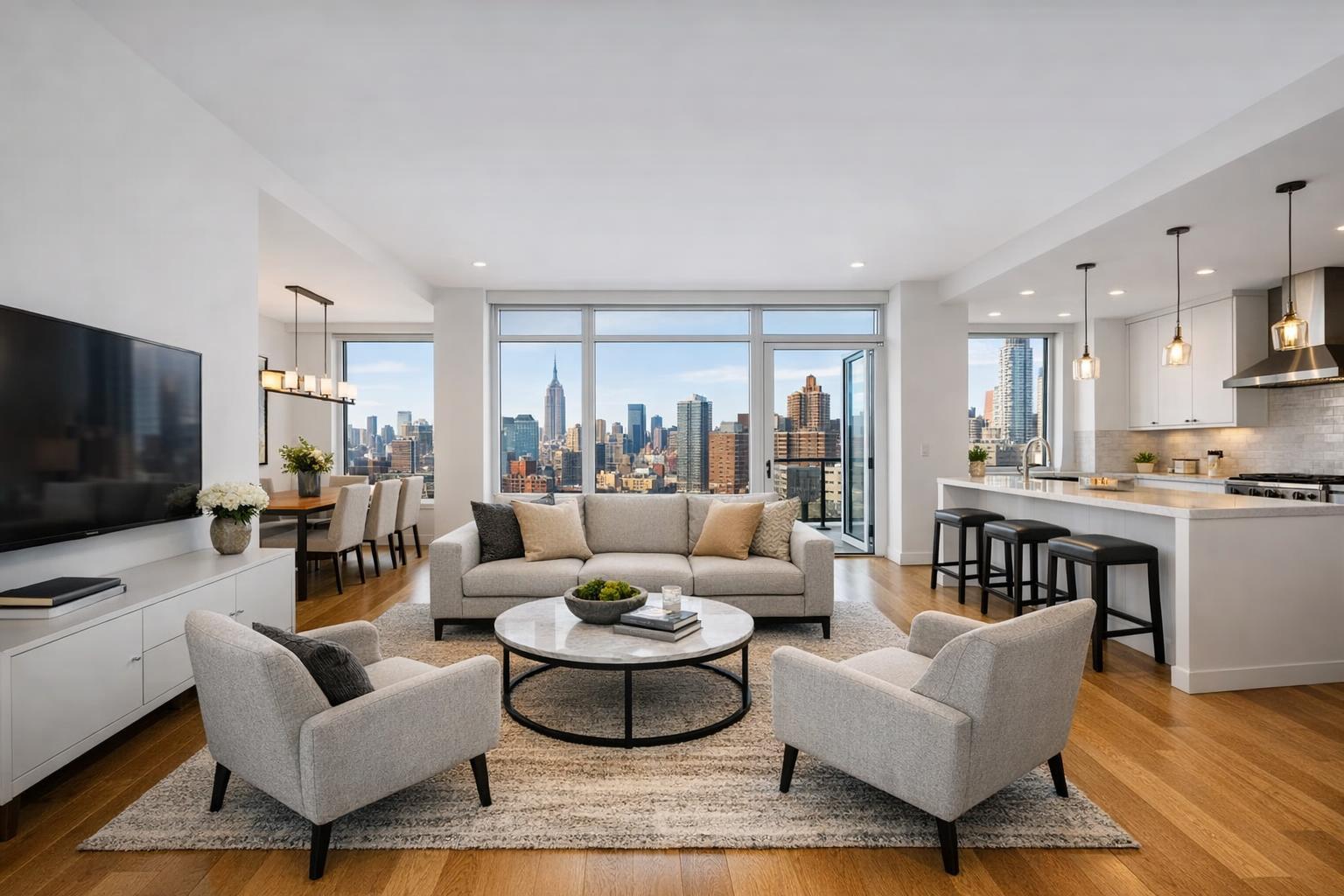
If the external space, views, or setting are truly selling features, consider aerial media. If the listing is about interiors or private city views, focus on strong photography, video, and floor plans.
The Realities of Drone Photography in NYC and New Jersey
Location is everything—especially with drones. In Manhattan and much of Brooklyn, airspace is tightly regulated, and street-level density limits flying opportunities. Even properties with show-stopping rooftops may not be accessible for aerial capture on a given day. Plan for logistical challenges like:
- Limited or no open spaces for safe launch and landing
- Dense pedestrian activity and heavy street traffic
- Tall buildings, urban infrastructure, or sensitive airspace restrictions
By contrast, New Jersey offers broader possibilities. Suburban homes with wide lots or estates near the shore often have space and visual interest—but even here, it’s not automatic. Weather, local airspace rules, trees, power lines, and neighborhood conditions all factor into feasibility.
Every listing is unique. Responsible providers will always evaluate the exact address and conditions before confirming a drone flight. If the answer is “not today,” they can shift focus to quality ground photography and video instead.
What to Look For in a Local Real Estate Drone Team
Choosing a real estate drone photography service is about more than picking someone with a drone and a business card. Before booking, you’ll want to cover a few essentials:
- Do they know real estate marketing? The prettiest aerial video means little if it doesn’t connect with the listing’s story. Request examples from past real estate shoots and look for clean composition, helpful angles, and photos that genuinely clarify a property’s assets.
- Are they equipped for FAA and local rules? Honest drone providers will explain up front that legality, safety, and airspace dictate whether a shoot can happen. Especially in New York City, not every property is flight-friendly.
- Is insurance in place? Drone operations require appropriate insurance, especially when flying near people or buildings. If you’re listing in a building with its own site rules or approval process, check those requirements ahead of time.
- What’s actually delivered? Clarify whether you’ll receive still images, video clips, full edited media, or a combination. Make sure the deliverables work for your preferred platforms and marketing plan.
- Can they coordinate with your primary shoot? Ideally, aerial and ground photography happen together—making for a smooth, consistent presentation and minimizing site disruption.
RealtaSnap, for example, evaluates every drone request individually, ensuring compliance and safety before confirming a flight.
Preparing Your Property for Aerial Capture
Getting ready for a drone shoot is similar to prepping for traditional real estate photography, though with a few extra details:
- Move cars from driveways and clear visible parking areas
- Store away bins, tools, hoses, and loose items
- Arrange outdoor furniture and open umbrellas (if the weather allows)
- Tidy pool areas, patios, and walkways
- Double-check roof decks and terraces for clutter
- Confirm that access points and shared outdoor spaces are available
Let the provider know about pets, construction, or anything else that could impact access or coverage. And before the shoot, share your priorities—a seller may want the yard highlighted, while an agent might focus on waterfront positioning or a nearby park.
Local Context Matters: NYC and NJ Service Areas
The differences between Manhattan, Brooklyn, and New Jersey are more than just geography. Airspace, density, and building types dramatically affect whether drone flights are an option—and what kinds of visuals are most effective.
RealtaSnap’s service covers all boroughs of NYC and the entire state of New Jersey, with select Westchester and Upstate New York projects available upon review. Every drone appointment is reviewed for address, airspace, weather, safety, access, and on-site conditions, so you’re never left with uncertainty on shoot day.
If an aerial flight isn’t possible, your listing media can still be built around strong ground-based visuals. Consult a provider who’s clear about feasibility and genuinely experienced with regional differences.
How to Book RealtaSnap Drone and Real Estate Media Services
Booking with RealtaSnap is straightforward. Most standard shoots—including drone photography, video, and more—are scheduled online. Just visit the scheduling page, enter your property address, select the needed services, and pick an available time. You’ll see all the offerings and add-ons and get clear, upfront pricing.
All drone work is handled case by case, taking into account airspace, weather, safety, property access, and pilot discretion. If you have a complex property or need clarification, the RealtaSnap team is always happy to walk through feasibility in advance. Explore more about the available options on the RealtaSnap homepage.
Making Drone Photography Work for Your Listing
Aerial real estate photography is most valuable when it serves the listing—whether that means capturing sweeping water views, highlighting a substantial yard, or simply clarifying how a home sits on its lot. It’s not always necessary, but when used intentionally and thoughtfully, it can add substantial context to a property presentation.
For New York City and New Jersey listings, choose a partner who combines drone expertise with real estate know-how and local experience. You’ll get honest guidance on what’s possible, and the end result will be tailored to your property’s actual strengths.
Ready to see if aerial media might help your next listing? Check the possibilities, view availability, or get started at www.RealtaSnap.com.
FAQ
Question: Can drones fly at any address in NYC or New Jersey?
Answer: No. Each location is assessed individually. Airspace rules, weather, safety, property access, nearby buildings, and pilot discretion all play a role in what’s possible on any given day.
Question: Should I get drone video, photos, or both for my listing?
Answer: Still images work well for highlighting lot size, outdoor features, view, and architectural scale. Video can help introduce setting and movement within a listing film. The choice depends on the property and your marketing priorities.
Question: Is aerial media included with standard photo packages?
Answer: Drone services are available as a selectable option when booking with RealtaSnap, but they’re not automatically included in every package. You can add drone coverage if the property and conditions are suitable.