Drone Photography NYC: What to Consider Before You Book
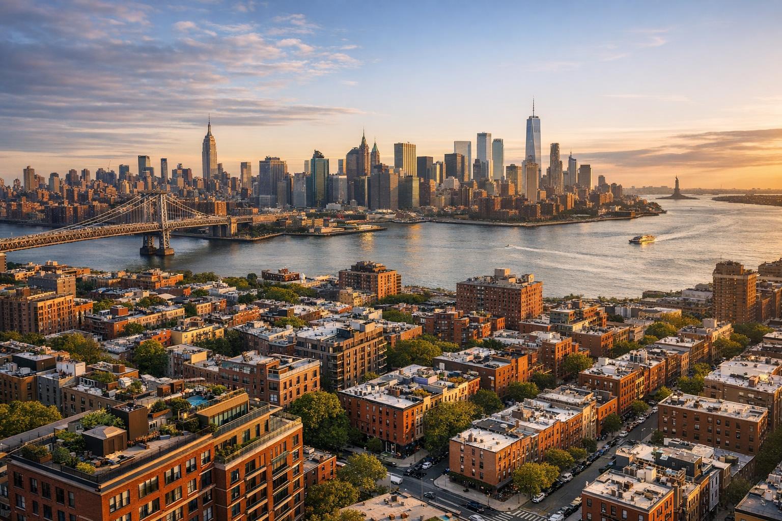
Drone photography captures a stunning view of NYC's skyline at sunset, featuring the iconic skyscrapers, bridges, and waterfront.

Drone Photography NYC: Smart Strategies for Real Estate Listings
Drone photography in NYC can reveal property features that traditional ground-level photos simply can’t match. For real estate agents, developers, and property owners, the question isn’t just whether aerial shots would look good—it’s about whether a flight is practical, safe, allowed, and genuinely valuable for telling a listing’s story.
Let’s break down when it makes sense to invest in aerial media, which types of properties get the most out of it, and how the realities of New York City’s environment shape what’s possible.
What Aerial Media Really Adds
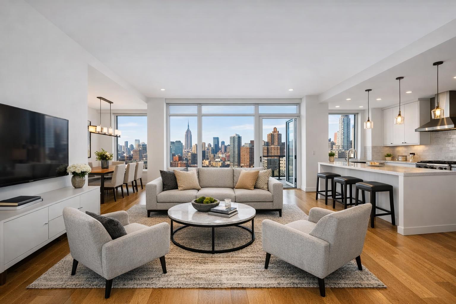
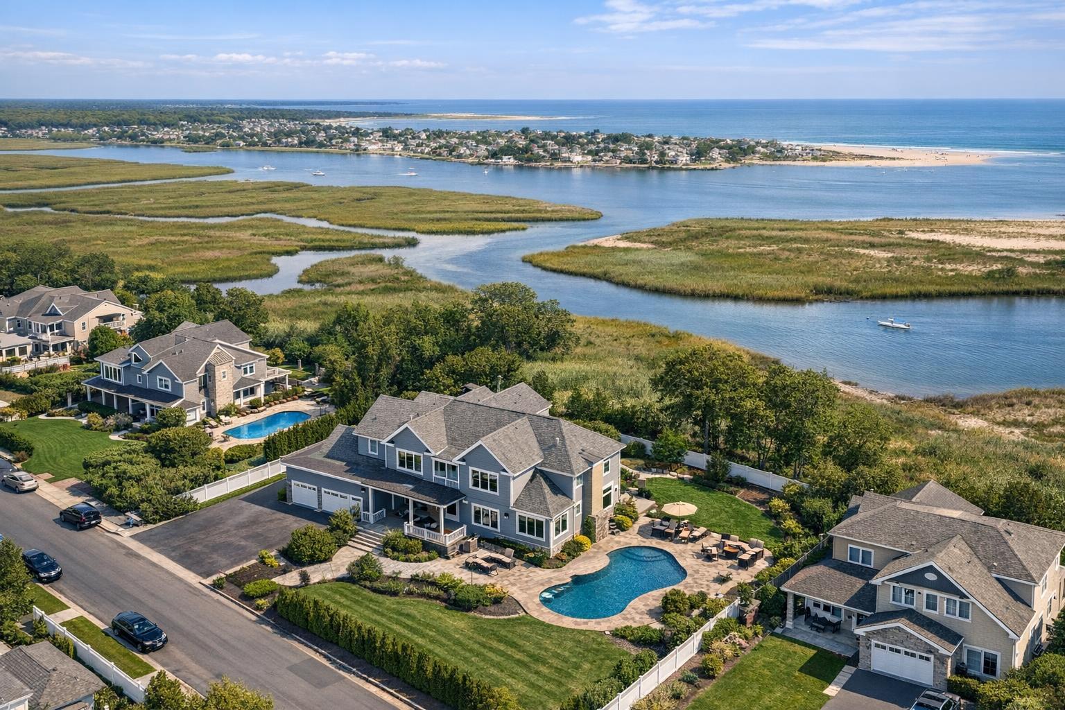
A well-timed drone shot can show off a building’s relationship to its surroundings: think rooftop decks above the skyline, homes sitting on the waterfront, or sprawling yards that wouldn’t be obvious from the street. When it works, aerial real estate photography delivers context that no amount of beautiful interiors can replicate.
Consider drone media if your NYC or New Jersey property offers:
- Private rooftops, terraces, or outdoor spaces that feel out of reach from the sidewalk
- Close proximity to water, parks, or open spaces
- Large lots, estate grounds, pools, or complex landscaping
- Distinctive architecture or angles that only make sense from above
- Noteworthy neighborhood anchors, transit lines, or open views
- Large-scale assets like commercial buildings, multifamily homes, or campus-style developments
- Suburban or New Jersey properties where boundaries and amenities are defining features
Aerial coverage is at its best as one piece of a thoughtful marketing mix—standard photography for interiors, floor plans for flow, aerials for context, and video to tie it all together when appropriate.
When Drones Aren’t the Right Tool
Not all listings benefit from drone photography. If you’re marketing a unit in a building with no private outdoor access, no standout exterior, or close neighboring structures that block most views, aerial shots can feel forced. Sometimes, a great set of interior photos or a clear floor plan will explain the space far better.
A good test: What would a prospective buyer or tenant learn from an aerial image that they couldn’t get from the rest of your listing content? If the only answer is that it might look cool, it may be worth investing your budget elsewhere.
The Realities of Flying Drones in NYC
New York City presents unique challenges for aerial real estate photography. Factors like borough, local restrictions, airspace, building density, and how you can access the property all play a role in whether a drone flight is even feasible.
Flights are subject to Federal Aviation Administration (FAA) rules, including Part 107 requirements. But local airspace and site-specific rules matter just as much. Sometimes, flights are simply not allowed, or only authorized for specific windows or launch sites.
Here’s what often affects NYC drone feasibility:
- Airspace rules and authorization processes
- Proximity to airports, heliports, or certain infrastructure (think bridges or tunnels)
- Local rules or event restrictions
- Building density and the ability to launch and land safely
- Pedestrian and vehicle activity at ground level
- Weather and wind patterns, which can change quickly in a city of tall buildings
- Access to private rooftops, decks, or yards suitable for launching
- Building management requirements and internal rules
- In-the-moment pilot safety assessments
For these reasons, drone coverage should always be treated as a strong “maybe” until a professional has reviewed the details. No reputable company can guarantee aerial photography for every address.
Why Roof Access Matters in the City
In dense neighborhoods—especially Manhattan and parts of Brooklyn—having legitimate rooftop access may make or break an aerial shoot. Launching from a private roof usually means clearer sightlines, a safer environment, and better separation from foot and street traffic below.
But even then, the roof must be safe, access must be legal and properly arranged, and approval from building management may be required. Before confirming drone media, clarify:
- Who will provide access to the roof (agent, owner, super, manager)
- If the roof will be available during your preferred appointment window
- Any advance notice or documentation (like certificates of insurance) needed for vendors
- Whether the space is sufficient and safe for takeoff and landing
- If there are building-specific rules about drone use, or about private versus shared outdoor areas
Sorting this out in advance will save surprises and make your shoot day go much smoother.
Street Grid to Waterfront: Location Shapes What’s Possible
Each NYC neighborhood is different. In Manhattan, drone photography is most practical when you have both a meaningful reason (like a great rooftop or signature view) and arranged roof access. For walk-up townhouses or brownstones in Brooklyn, or for low-rise buildings near the waterfront, aerials may feel more feasible—though even then, dense blocks can pose challenges.
The essential point: Not every visually striking address is a viable candidate for drone work. Take nothing for granted until specifics are checked.
Outer Boroughs and New Jersey Listings
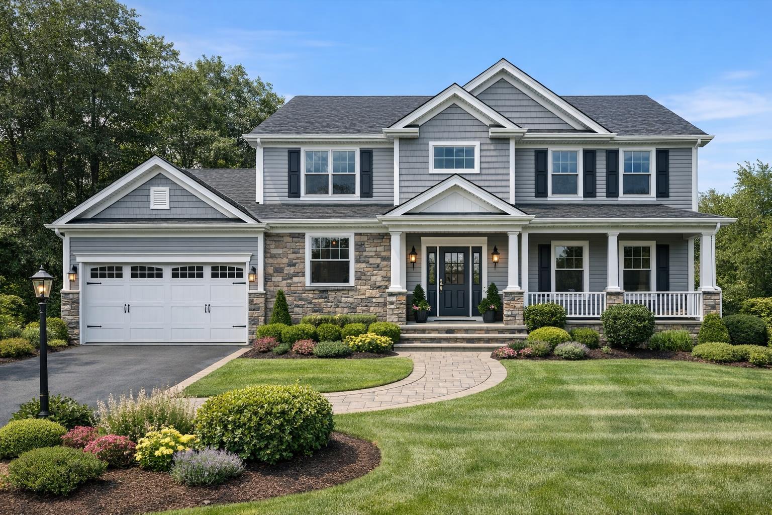
When you move out to Staten Island, Queens, the Bronx, or much of New Jersey, some of the airspace and access headaches begin to thin out—especially for single-family homes, townhouses, larger lots, or commercial properties with room to spread out. Aerial views can be especially helpful here to show how a property relates to water, yards, pools, driveways, and surrounding streets.
Still, every flight must comply with authorization and safety planning. Open surrounds make aerials more likely, but not a guarantee.
The Role of Weather
Weather isn’t just a creative concern—it’s an operational one, too. Strong winds, precipitation, or limited visibility can ground even the most enthusiastic pilot. In urban settings, the wind may whip unpredictably between tall structures, making some days impractical no matter how blue the sky looks from street level.
That’s why it pays to build some flexibility into your appointment window if drone content is a crucial part of your launch strategy.
What to Consider Before Booking Drone Coverage
Drone media should fit your listing’s real marketing needs. Some properties need just a few clear aerial stills; others may benefit from video, especially to show movement or approach for larger sites or distinctive outdoor features.
Here’s how RealtaSnap structures aerial services for NYC and New Jersey listings:
- 10 HDR drone photos (with optional blue-sky replacement), $209
- 1-minute 4K drone video, $229
- Combined 10 HDR drone photos and 1-minute video, $299
These drone services are intended strictly for real estate marketing—not for technical inspections or engineering analysis. If you’re building a broader listing video, mention it early so aerial scenes are captured with intention rather than dropped in haphazardly.
To explore available packages or book, visit drone photography and video for NYC.
How to Help Your Provider Assess Drone Feasibility
The more details you can share upfront, the more accurately your provider can gauge whether aerial capture makes sense. Include information such as:
- Full address and property type
- The feature you want to highlight (roof, water, view, lot, etc.)
- Photos or a brief description of the exterior and neighborhood
- What kind of roof, terrace, or yard access you’ll have during the shoot
- Building management contact details or known requirements (if applicable)
- Any potential restrictions or challenges (construction, busy streets, events)
- Whether you need photos, video, or both
- Listing launch timing and any tight scheduling parameters
A quality provider like RealtaSnap will review these details in advance and give you a candid assessment of what’s likely and what’s not.
Build Your Listing Media Around the Property
The most effective listings are those where every media element supports a specific goal: explaining what sets the property apart. Sometimes that means a set of compelling aerials. Other times, crisp interiors and a well-designed floor plan do more of the heavy lifting.
Before booking, gather as much access and context information as you can, and lean on your media team’s experience for property-specific recommendations. If you want more details about RealtaSnap’s workflow or pricing, visit the main site.
If you’re preparing for an upcoming listing and want professional guidance on aerial photography feasibility, we’d be happy to help.
FAQ
Question: Can every NYC property be photographed with a drone for real estate listings?
Answer: No. Each project is reviewed individually. Drone flights in NYC are shaped by airspace rules, site conditions, weather, building protocols, and pilot discretion. There’s no one-size-fits-all answer.
Question: What are some signs a property will benefit from aerial real estate photography?
Answer: Properties with unique roof access, spacious outdoor areas, distinct architecture, notable water or park proximity, or open surroundings are usually the best candidates. Aerials add value when they reveal information a ground-level photo can’t.
Question: How does RealtaSnap handle weather delays or access issues for drone projects?
Answer: If conditions are unsafe or if access is not as described, RealtaSnap will advise and reschedule or modify the coverage as needed. Safety, compliance, and quality always guide the final decision.