When Is Drone Photography Worth Adding to a New Jersey Real Estate Listing?
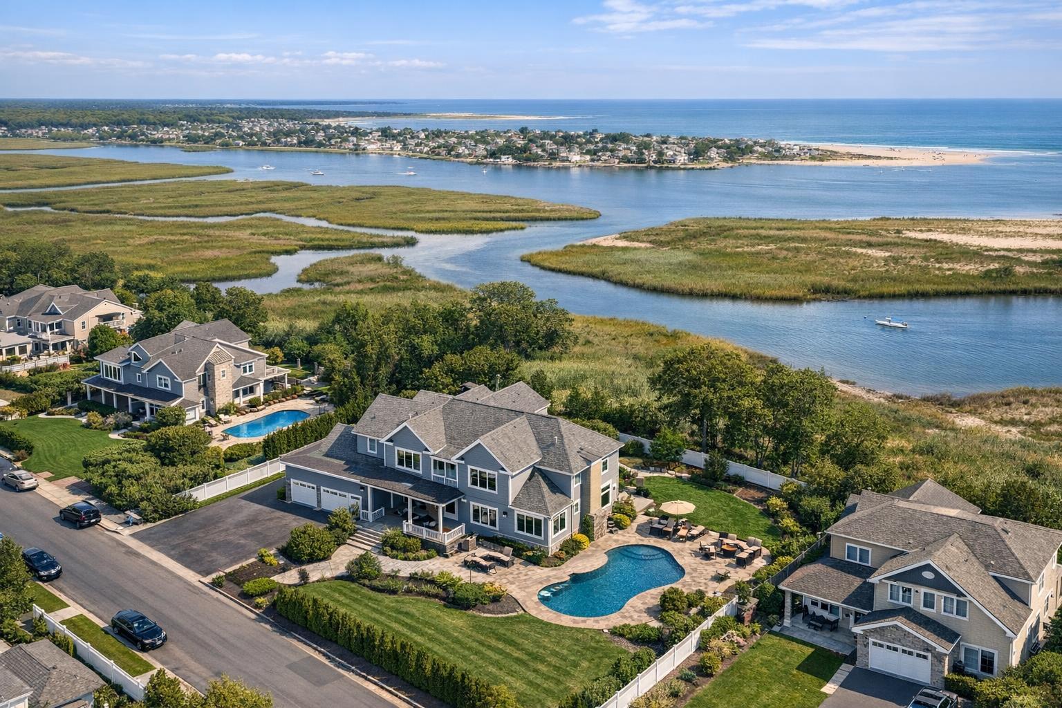
Drone photography in NJ captures a scenic aerial view of suburban homes with private pools and a picturesque backdrop of waterways and greenery.

When Is Drone Photography Worth Adding to a New Jersey Real Estate Listing?
If you’re searching for drone photography NJ, chances are you’re weighing whether aerial imagery will make your listing more compelling or just add another box to check. In reality, real estate drone photography shines when it clarifies something that ground-level photos can’t—offering a sense of the property’s scale, the surrounding environment, or unique access features that are hard to communicate from the street.
Let’s break down when aerial real estate media is a smart investment for a New Jersey listing, where it may be less useful, what makes a property a strong candidate for a drone shoot, and how a provider like RealtaSnap approaches flight feasibility and service.
Why Add Drone Photography? Clarity, Context, and Curb Appeal
Not every listing will benefit equally from drone coverage. The decision often comes down to this question: Will a view from above help buyers or tenants understand something important about this property?
For the right property, drone images can:
- Show how a home relates to its land, outbuildings, or water frontage
- Reveal proximity to local amenities, highways, or public transit
- Present architectural features, rooflines, or parking areas that are tough to capture from the ground
- Highlight large outdoor spaces, pools, or gardens
Aerial views answer questions that aren’t easy to resolve at eye level. Think of them as the “big picture” supporting actors to your ground-level stars (your main listing photos).
Which New Jersey Listings Benefit Most from Aerial Real Estate Media?
Larger Suburban Homes & Estate Properties
If a house sits on a broad or unusually deep lot, drone photography can instantly illustrate the true relationship between the home, its lawn, pool, gardens, or any detached structures. This is especially useful when:
- The property features extensive landscaping, sports courts, or multiple outdoor living zones
- The driveway layout, gated entry, or parking setup matters
- There’s a distinctive architectural footprint or unique roofline
Carefully chosen aerial perspectives can help buyers quickly grasp the scale and layout—often better than a dozen ground-based images ever could.
Shore and Waterfront Residences
Along the Jersey Shore or on waterfronts, the property’s setting is often its greatest appeal. Drone media helps:
- Show how close the home is to the beach, bay, or marina
- Highlight water views, boating access, and orientation toward a boardwalk or park
- Illustrate the connection between decks, balconies, and the shoreline
While ground photography delivers those classic ocean-facing window shots, aerials add that broader sense of “place” that’s crucial when location is the selling point.
Multifamily, Condo, and Townhome Complexes
For multifamily buildings, the drone lens becomes essential when:
- The exterior footprint, corner positioning, or proximity to parks and transit add value
- Shared outdoor spaces, roof terraces, or parking need to be showcased
- It’s important to clarify how the property stacks up against neighbors in a busy block
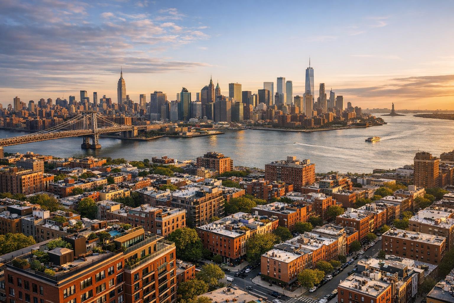
In dense areas, though, practicality comes first—sometimes a well-framed street-level shot does a better job than a distant aerial, especially if airspace is tight or building permissions are strict.
Commercial Properties with Logistical Features
Commercial real estate drone photography can be transformative for retail, office, mixed-use, or warehouse settings, where showing:
- Parking areas, loading docks, and site access
- Campus layouts
- Visibility from nearby roads or intersections
...can make or break the first impression. For these listings, aerial images aren’t just pretty—they’re functional marketing tools.
When Does Ground-Level Photography Suffice?
Aerial media isn’t a standard requirement for every NJ property. Some listings are best served by well-executed ground photos, such as:
- Small condos, townhouses, or single-family homes without notable outdoor space
- Properties surrounded by structures that obscure lot boundaries
- Homes where the main selling points are interior finishes or renovated layouts
- Listings with exterior features that are simple to capture from the sidewalk
If a drone flight would only result in a few nondescript rooftop frames, it may be wiser to focus on high-quality photos and thoughtfully composed interiors instead.
Still Images, Video, or Both? Choosing the Right Aerial Format
When to Use Drone Still Photos
A handful of crisp, well-planned aerial photographs can do wonders when you need to explain lot size, a pool, specific views, building scale, or access routes. Still images work particularly well in MLS galleries and on real estate websites, where viewers can study details at their own pace.
When Drone Video Adds Value
Aerial video excels at telling a story with movement: sweeping in from the water to a shore home, gliding through landscaped grounds, or giving a dynamic reveal of a commercial property’s location. Video is most effective when joined with ground-level clips to provide a natural flow.
Combo Packages for Unique Properties
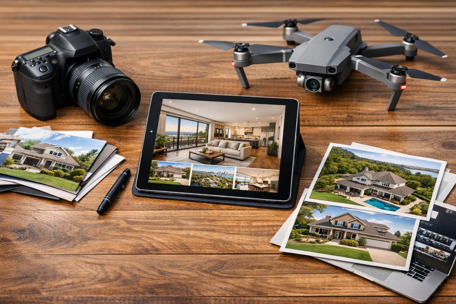
For larger estates, waterfront homes, or commercial complexes, combining aerial stills with a short drone video can provide both reference and atmosphere. RealtaSnap offers flexible options: drone photo ($209 for 10 HDR images), drone video ($229 for a one-minute 4K cut), or a package with both formats ($299). These are tailored for New Jersey listings.
How Feasible Is a Drone Shoot? What to Know Before Booking
Aerial capture sounds straightforward but is always subject to practical realities. Every potential flight is assessed individually, taking into account:
- FAA Part 107 regulations and controlled airspace
- Proximity to airports, heliports, or restricted areas
- On-site obstacles (overhead wires, trees, tight urban spaces)
- Weather and wind conditions on shoot day
- Ability to safely access, launch, and land the drone
- Access permissions for rooftops, courtyards, or shared spaces
While New Jersey properties range from open suburbs to crowded city blocks, professional providers like RealtaSnap will evaluate flight feasibility—never assuming a drone can be flown just because a property is eligible for service.
In some cases, special permits or municipal permissions may be required, and the client is responsible for securing any that go beyond standard FAA approval.
Getting a Property Ready for Aerial Photography
Prepping a property for a drone shoot isn’t complicated, but a little attention makes a difference. Here’s what helps:
- Move vehicles so driveways and parking spots are clear
- Put away trash bins, garden tools, and loose outdoor furniture
- Tidy pool decks, patios, and shared outdoor areas
- Make sure gates and umbrellas are set as you’d like them in the photos
- Tell your media team about access arrangements or features you want highlighted (like water access or a detached garage)
These small steps focus the shoot on what buyers care about and avoid distractions.
Asking the Right Question: Is Drone Photography Worth It?
Ask yourself: Will buyers or tenants understand something truly important about this property more clearly from above? If the answer is yes—because of lot size, a breathtaking view, water frontage, distinctive land, unique access, or development potential—drone photos or video are likely a smart addition. If not, prioritize quality ground-level images.
For New Jersey professionals seeking effective, listing-focused aerial media, RealtaSnap offers drone services alongside photography, video, and 3D tours, all tailored to the local market. You can learn more or schedule a shoot through their drone services page or visit RealtaSnap’s home site for other real estate media options.
FAQ
Question: How many drone photos are enough for a listing?
Answer: Usually, a small set of clear, purposeful aerials does the trick—think 5 to 10 strong images that explain the most important exterior features or relationships. Too many similar overhead shots can quickly lose their value.
Question: Are drone images accurate for showing property lines?
Answer: Drone images can provide useful context for lot size and surroundings but shouldn’t be treated as legal surveys. For exact boundaries, you’ll always want an official property survey.
Question: Can I add drone media to my standard listing photography?
Answer: Absolutely. With RealtaSnap, drone photo, video, or combo packages can be selected when booking your shoot. Every location is checked for flight feasibility based on airspace conditions, access, and safety.
Ready for next-level listing visuals? Visit www.RealtaSnap.com to see options, check service availability, or start a conversation about which approach will best showcase your New Jersey property.