Elevate Your Listings: The Power of Drone Photography for Real Estate in NYC
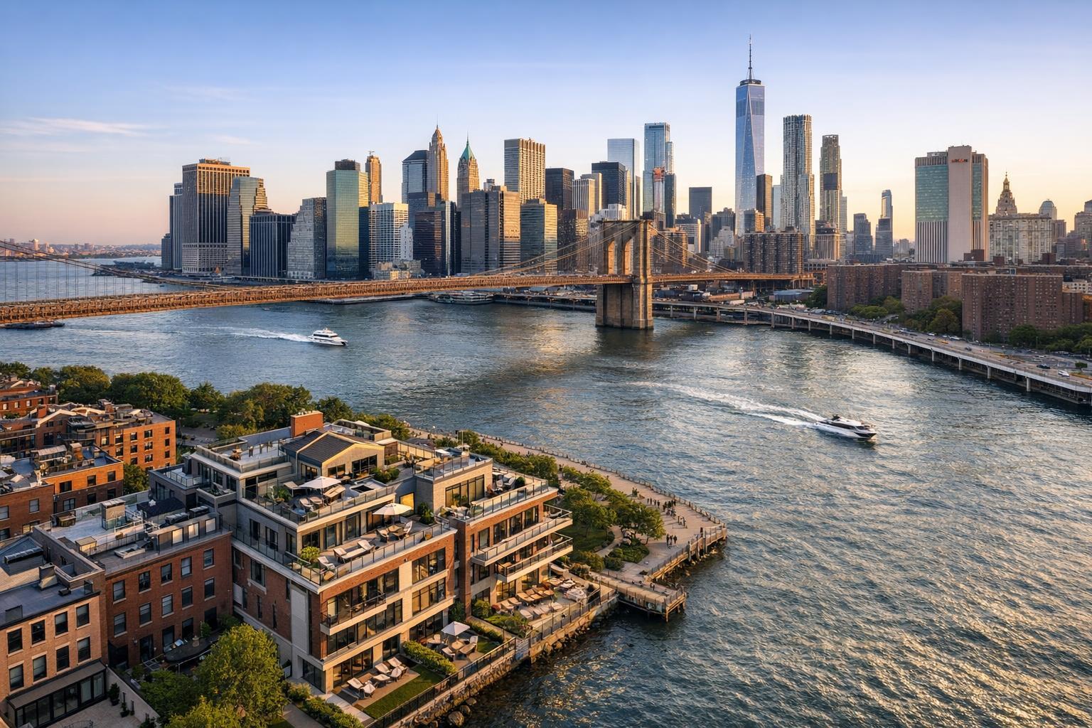
Drone photography captures a stunning view of upscale waterfront real estate with the iconic skyline and bridge in the background.

Transforming NYC Property Marketing: How Drone Photography Real Estate Services Give Listings a Competitive Edge
In today’s fast-moving real estate market, nothing grabs buyer attention like compelling visuals. RealtaSnap’s drone photography real estate services have become an essential strategy for agents and sellers looking to get noticed in NYC. This post explores how aerial real estate photography delivers unmatched perspectives, why it’s the new must-have for property marketing, and what you need to know about compliance and safety in New York City.
The Problem: Standing Out in an Overcrowded NYC Market
New York City is unlike any other real estate market in the world. With thousands of active listings spread across diverse neighborhoods and iconic skylines, making your property shine isn’t easy. Even with professional interior photos, it’s challenging for buyers to see:
- How a property sits within its block or building
- Unique architectural features visible only from above
- Proximity to parks, city landmarks, or water views
- Views and light exposure at various heights
Traditional ground-level photography can make listings blend together. As buyers scroll through endless images online, listings that fail to showcase a property’s full potential are quickly overlooked. Agents risk having their best properties buried at the bottom of search results or, worse, ignored on first click.
How RealtaSnap Solves It: Aerial Imaging for Modern Real Estate Success
RealtaSnap brings a new era of real estate photography in NYC through expert drone and aerial imaging services. Our team’s deep local knowledge paired with state-of-the-art 4K HDR drone technology ensures every listing stands out with dramatic, high-impact visuals.
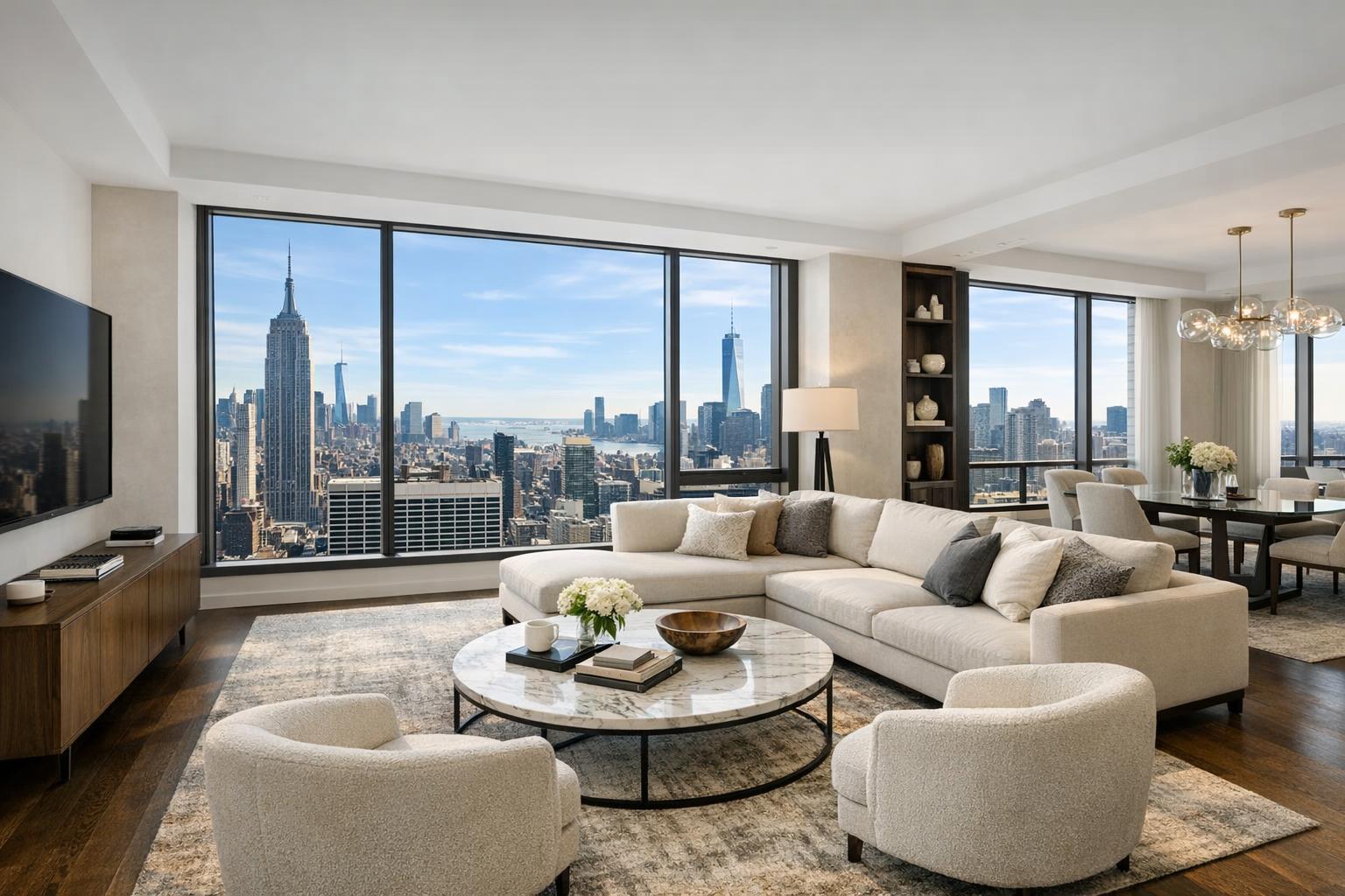
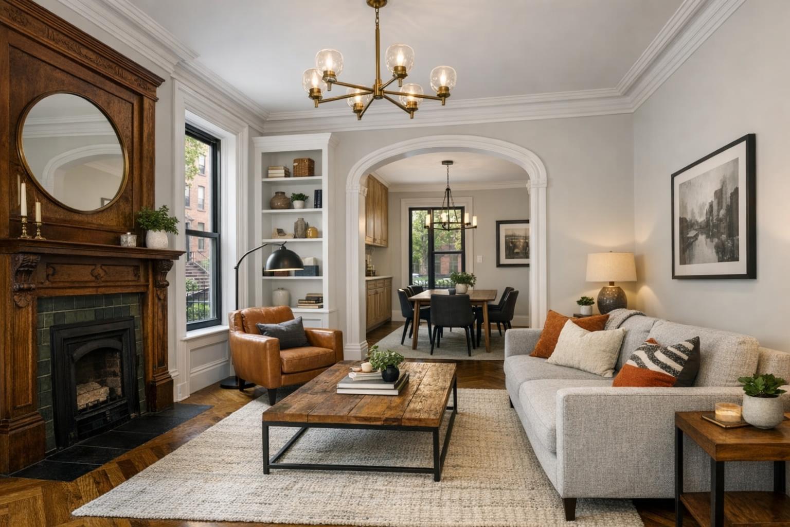
Aerial real estate photography doesn’t just show a property—it tells its story from the sky. Whether you’re marketing a penthouse with skyline vistas, a brownstone nestled on a tree-lined Brooklyn street, or a luxury condo near Central Park, RealtaSnap captures angles and contexts that traditional photos cannot. And because our team understands NYC’s complex airspace and compliance requirements, we deliver images safely, legally, and reliably—every time.
Benefits of Choosing RealtaSnap for Drone Photography Real Estate
- Professional drone pilots, fully licensed and insured
- Compliant operations following all FAA and NYC safety rules
- Fast 24-hour turnaround of fully edited 4K photos and video
- HDR imaging with blue sky replacement for eye-catching results
- Show off location, amenities, and city views in one shoot
- Flexible service options: photo, video, or both, starting at $209
- True-to-life storytelling that elevates any NYC property
- Enhanced social media, MLS, and website engagement
All prices and information are subject to change. Information is deemed reliable but not guaranteed.
Comparison: RealtaSnap vs. Traditional and Competing Services
Standard real estate photography often falls flat in New York’s vertical landscape. Competing providers may offer drone services, but many lack RealtaSnap’s combination of fast delivery, editing polish, and deep local compliance expertise.
- Faster Turnaround: RealtaSnap delivers fully edited content within 24 hours—no waiting, no delays.
- Superior Quality: Every shoot uses 4K HDR cameras, ensuring ultra-clear and vibrant images.
- Safety and Compliance: Our team manages airspace checks, FAA regulations, and complies with all NYC-specific guidelines. We never risk your reputation with illegal or unsafe flights.
- Client Experience: From booking to delivery, RealtaSnap’s process is seamless, transparent, and designed around your unique real estate needs.
Traditional photography captures just one angle—RealtaSnap’s drone imagery gives New York properties a competitive advantage that’s hard to match.
Why Aerial Real Estate Photography is a Game-Changer in NYC
NYC’s distinctive skyline, varied architecture, and hidden green spaces are best showcased from above. Drone photography NYC services are now a staple for:
- Luxury Condo and Penthouse Marketing: Highlight panoramic views and exclusive rooftop amenities.
- Townhomes and Brownstones: Set your listing apart by showing both curb appeal and context in a bustling street or quiet neighborhood.
- New Developments: Give buyers a sense of location, future potential, and proximity to landmarks.
- Commercial or Multi-Unit Properties: Demonstrate scale, nearby retail, transit, and accessibility features.
These sweeping perspectives don’t just look impressive—they create an emotional connection for buyers, helping them picture their future home or investment. With more buyers beginning their search online, listings with aerial visuals consistently earn more clicks, engagement, and showings.
Compliance and Safety: What NYC Agents Need to Know
NYC is uniquely challenging for aerial real estate photography. Strict FAA Part 107 drone regulations, dense airspace, and numerous restricted zones mean proper authority and local expertise are essential. RealtaSnap’s compliance-first approach ensures:
- Every flight is piloted by a fully licensed drone operator.
- Sites are assessed for airspace and access requirements—especially important for high-rises.
- No flights are scheduled or conducted in areas where drone use is not permitted.
- All operations strictly adhere to local, state, and federal guidelines for both safety and privacy.
- If a property requires special permits, RealtaSnap assists with recommendations, but clients are responsible for obtaining necessary approvals.
Not every location is “flyable.” Our pilot team evaluates feasibility case by case, always prioritizing client safety and regulatory compliance.
See the Difference—Elevate Your NYC Listings with RealtaSnap
Drone photography real estate isn’t a luxury anymore—it’s the new standard for premium property marketing in New York City. Give your listings the perspective they deserve, and attract more qualified buyers with visuals that engage, excite, and sell.
Ready to give your next listing a competitive edge? Discover more about RealtaSnap’s NYC drone and aerial real estate photography services at www.realtasnap.com/drone-photography-videography-nyc or browse our full suite of visual marketing solutions at www.realtasnap.com.
Frequently Asked Questions
1. Isn’t aerial real estate photography too expensive for smaller listings?
It’s a common concern, but RealtaSnap offers flexible, transparent pricing starting at just $209 for 10 stunning HDR drone photos—making professional aerial visuals accessible for properties of all sizes.
2. What if my NYC property is near a park, river, or high-rise area with airspace restrictions?
Understandably, airspace rules in NYC can be complex. RealtaSnap’s expert pilots assess feasibility and secure the necessary FAA authorizations when possible, ensuring your shoot is safe and compliant.
3. Will I have to wait a long time for my edited drone photos or videos?
Not at all—unlike many providers, RealtaSnap delivers fully edited 4K aerial photos or video within 24 hours, helping you market your property faster and more effectively.
With RealtaSnap, next-level marketing is only a click away. Elevate your listings with professional drone photography real estate services—see what your property can really achieve.