How Drone Photography Elevates Real Estate Listings in NYC
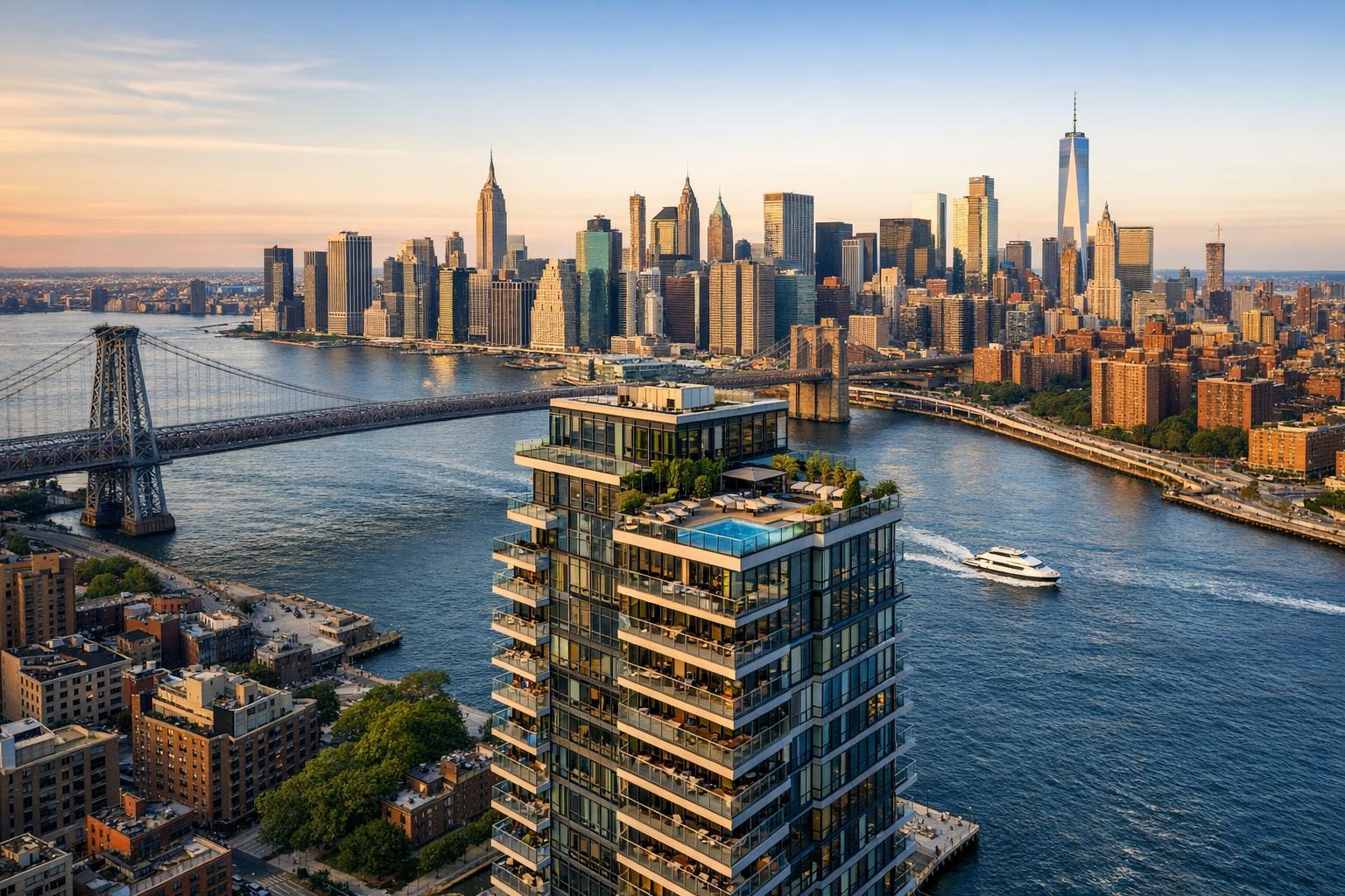
Drone photography captures a stunning view of an apartment building with a rooftop pool, set against the backdrop of the New York City skyline and iconic bridges.

How Drone Photography Real Estate Services Transform NYC Property Marketing
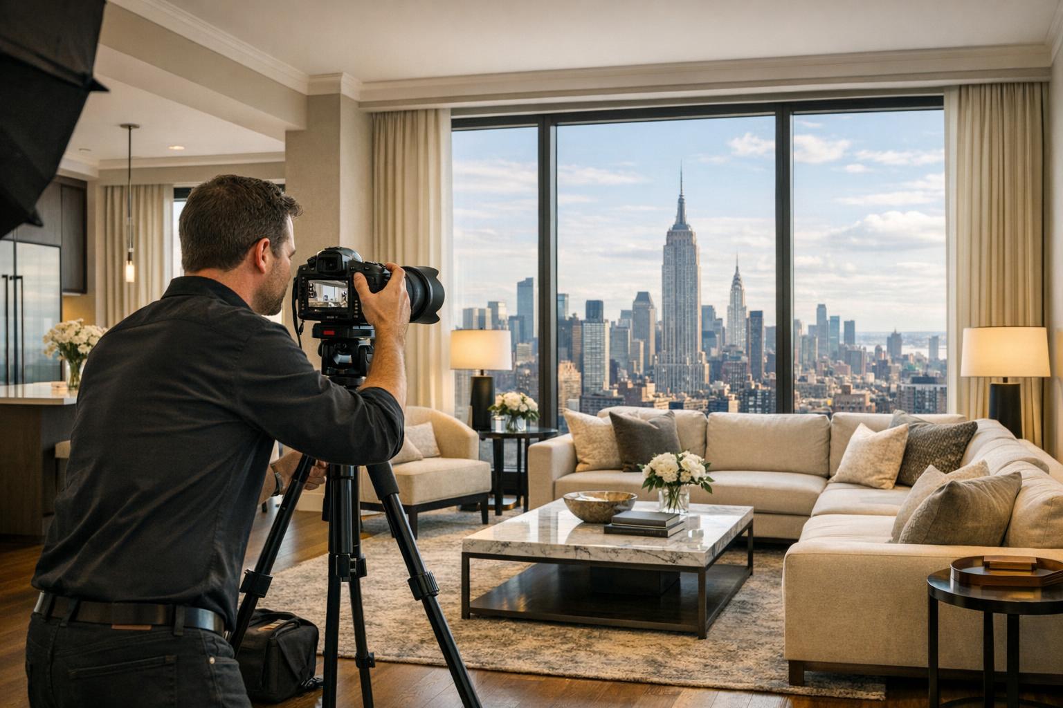
When it comes to real estate photography in NYC, few advancements have shifted the landscape quite like drone photography real estate solutions. Today’s buyers move fast and think big—expecting to see sweeping views, dramatic angles, and a sense of place before they even set foot inside. In this post, we’ll explore how aerial photography for real estate is redefining marketing in New York City, what buyers are looking for in high-rise and luxury listings, and how choosing a specialist like RealtaSnap ensures your property stands out for all the right reasons.
The Problem: Standing Out in a Competitive Urban Real Estate Market
Manhattan, Brooklyn, Queens—the New York City market is bold, crowded, and fiercely competitive. Agents and sellers face a challenge: how do you make a property pop amid thousands of online listings? Traditional photography, while essential, often falls short in capturing the scale and uniqueness of NYC’s skyline, penthouses, and even compact brownstones.
Listings with only ground-level or interior shots can feel flat. Prospective buyers want to understand the full context: skyline views, rooftop amenities, outdoor spaces, proximity to parks or the river, and even how the building fits within the block. In such a vertical city, offering a literal bird’s-eye perspective isn’t just a luxury—it’s quickly becoming the expectation.
How RealtaSnap Solves It: Elevate Listings with Expert Drone Photography Real Estate Services
RealtaSnap’s real estate drone services are designed specifically for NYC’s unique environment. Our FAA-certified pilots and photographers use 4K HDR drone technology to capture the angles and elevation that define urban real estate. Whether it’s a penthouse in Tribeca, a new condo in Long Island City, or a classic townhouse in Brooklyn, aerial photography for real estate brings listings to life.
We’ve developed a workflow that balances creative vision with strict regulatory compliance—something few local providers truly master. We assess every shoot for airspace restrictions, safety, and the best time of day for ideal lighting and minimal shadows. Our delivery is fast, our process is seamless, and our results? They speak for themselves.
See RealtaSnap’s NYC drone photography and videography services to learn more or schedule your next shoot.
Benefits of Choosing RealtaSnap for Drone Photography Real Estate
- 4K and HDR aerial images highlight property scale and neighborhood context
- FAA-certified pilots ensure legal and safe drone operations
- Fast 24-hour turnaround on all edited drone images and videos
- Seamless blue sky replacement—even on cloudy days
- Flexible packages: 10 aerial photos, videos, or combined media
- Full coverage of NYC’s complex airspace, with each shoot evaluated for feasibility
- Transparent, a la carte pricing with no hidden fees (drone photo + video: $299 for 1 hour—see service page for details; all prices and information are subject to change. Information is deemed reliable but not guaranteed)
- On-demand access to RealtaSnap’s local expertise and customer service
Comparison: RealtaSnap vs. Traditional or Other Real Estate Drone Services
With RealtaSnap, you’re not just getting access to the latest tech—you’re tapping into deep local knowledge, regulatory insight, and a client-first experience. Instead of generic drone footage, we deliver curated visuals specifically crafted for property marketing. Unlike some providers, we never cut corners with compliance or quality. Turnaround is predictable: edited deliverables in as little as 24 hours. Our pricing is fully transparent and suited to both individual agents and brokerage teams.
Working with RealtaSnap means no chasing down permits, no wondering whether your location is legal to fly, and no guesswork on project feasibility. Our specialists handle each project personally, flagging airspace or permit issues up front and giving you a clear path to results.
Aerial Photography for Real Estate: Attracting Urban Buyers
Why do buyers respond to aerial real estate drone services?
- Context: Show off proximity to transportation, parks, and city attractions.
- Drama: Capture architectural features, rooftop spaces, or water/city views that interiors alone cannot show.
- Scale: Illustrate lot size, outdoor amenities, and building position on the block.
- Trust: Aerials convey professionalism and extra investment in marketing, setting listings apart.
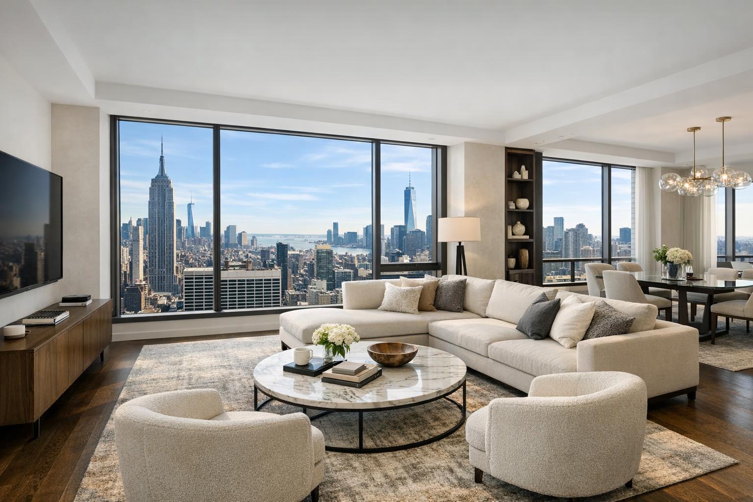
In NYC, a single aerial shot can tell the story of a million-dollar view, a private terrace, or a building’s place within an iconic skyline. Buyers (and renters) crave perspective. Listings with drone photography routinely see more engagement, higher perceived value, and faster movement online.
NYC Regulations: What You Need to Know About Urban Drone Shoots
Aerial media in New York City is heavily regulated—for good reason. Airspace involves multiple governing bodies, including the FAA, and some locations require special permissions or are outright restricted. Here’s how RealtaSnap manages those complexities:
- Every flight is checked for FAA Part 107 compliance.
- Service includes a pre-shoot feasibility check: not all areas or buildings are flyable, and roof access improves outcomes in dense districts.
- RealtaSnap does not pull municipal or NYPD permits; clients are notified upfront if a site cannot be flown due to legal or safety reasons.
- If a specialized permit is required beyond FAA authorization, the client will need to secure it—RealtaSnap prioritizes transparency at every step.
- Our drone services are strictly for marketing (not architectural survey or inspection work).
The bottom line: In NYC, professional oversight is non-negotiable. Attempting “DIY” drone shoots typically results in logistical headaches—or legal trouble. Working with a true specialist ensures your shoots go off safely and compliantly, with no surprises.
Tips: Maximizing Urban Real Estate Drone Shoots
- Plan roof access in advance: Especially in Manhattan, rooftops can make or break aerial possibilities.
- Schedule for ideal lighting: Early morning or late afternoon yields warmer, less harsh images.
- Consider the skyline: For city and river views, communicate your “must-have” angles to your photographer ahead of time.
- Secure indoor and outdoor permissions: Confirm building management approval before the shoot.
- Prepare spaces below: Highlight terraces, gardens, and nearby amenities by keeping them tidy and staged.
Having the right team—like RealtaSnap—guides you through these steps, ensuring every shot is both stunning and compliant.
Why RealtaSnap is the Trusted Name for Drone Photography Real Estate in NYC
Ultimately, the difference is experience—both behind the camera and behind the controls. RealtaSnap combines local savvy with next-generation imaging technology, built for NYC’s vertical landscape. Whether you’re marketing a Hudson Yards penthouse or a Brooklyn brownstone, you can expect professionalism, creativity, fast delivery, and regulatory peace of mind.
Ready for media that rises above crowded listings? Visit www.realtasnap.com/drone-photography-videography-nyc to see sample work and book your shoot, or explore our full suite of NYC real estate marketing services.
Frequently Asked Questions
1. Aren’t drone shoots in NYC difficult or impossible?
It’s true—NYC airspace is complex, and many locations require special checks. RealtaSnap has expertise navigating these issues and will clearly communicate if a property cannot be safely or legally flown, so you never risk a surprise cancellation.
2. Isn’t aerial photography for real estate in New York prohibitively expensive?
While some expect sky-high prices, RealtaSnap’s transparent pricing structure starts at $209 for 10 aerial photos, $229 for a 1-minute 4K video, or $299 for both, making it accessible for listings of all types. All prices and information are subject to change. Information is deemed reliable but not guaranteed.
3. What if I need my drone images and video delivered fast?
Worried about waiting days for edits? RealtaSnap delivers fully edited drone photos and videos within 24 hours of your shoot—speed, quality, and accuracy, every time.