How Drone Photography Is Elevating NYC Real Estate Marketing
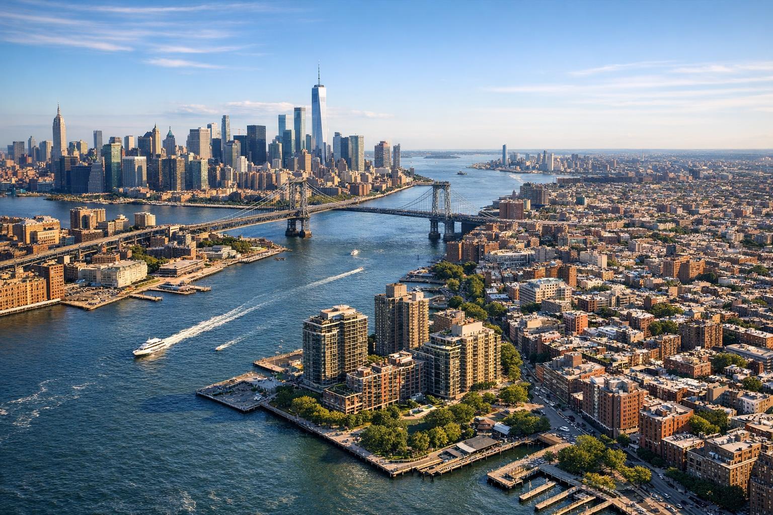
Drone photography captures a stunning aerial view of a bustling urban landscape with skyscrapers, bridges, and waterfront real estate.

How Drone Photography Is Transforming Real Estate Marketing in NYC
Real estate photography in NYC is evolving rapidly, and drone photography real estate is at the forefront of this transformation. As the city’s skyline grows ever more dynamic, aerial real estate photography isn’t just a premium extra—it’s becoming a necessity for agents and owners who want to give their listings a true edge. In this post, we’ll dive into why drone photography NYC is changing the way properties are marketed, the practical benefits and compliance challenges, and how integrating aerials with your broader media strategy can fuel sales in even the most competitive boroughs.
The Problem: Ground-Level Views Limit Your Listing’s Impact
New York City is an environment where every square foot counts, and buyers make split-second decisions based on visual first impressions. Traditional ground-based photographs, while necessary, often can’t capture the true appeal of a property—especially in NYC’s vertical market. Imagine selling a high-rise condo without the ability to showcase its breathtaking skyline views, rooftop amenities, or the bustling neighborhoods that surround it. Even townhouses or investment properties lose appeal when prospective buyers only see them from street-level shots.
Without aerial real estate photography, listings run the risk of all looking the same. You lose out on:
- Showcasing the building in its full urban context
- Demonstrating proximity to parks, waterfronts, or landmarks
- Emphasizing unique exterior amenities (like roof decks or terraces)
- Providing a sense of privacy or spaciousness in densely packed areas
When every listing is vying for attention, these are the details that help a property stand out—and the lack of them can make buyers scroll past without a second thought.
How RealtaSnap Solves It
RealtaSnap is a leading provider of drone photography real estate services, offering a specialized solution designed for the complexity of NYC’s landscape. Our workflow is built from the ground up for this market, leveraging FAA-certified pilots and strict compliance with urban flight regulations. We understand that every property tells a unique story, and aerial real estate photography allows us to tell it convincingly—whether it’s a luxury penthouse, commercial development, or a classic brownstone.
With RealtaSnap’s drone photography NYC services, clients benefit from:
- 4K and HDR drone visuals for vivid, brand-ready media
- Rapid next-day turnaround to keep your listings agile
- Customizable media packages for photos, video, and cross-platform content
- Seamless integration with other real estate media services, such as virtual tours and advanced floor plans
All drone operations are executed by experienced pilots who prioritize both safety and stunning results. Our creative team not only captures the architectural highlights, but also ensures neighborhood context and unique features are showcased from fresh, must-see vantage points.
Learn more about our specific offerings and see how easy it is to start at RealtaSnap Drone Photography & Videography NYC.
Benefits of Choosing RealtaSnap Drone Services
- FAA-certified pilots ensure compliance and safety
- High-resolution photos and video to maximize listing impact
- Fast 24-hour delivery, so you never lose momentum
- Customizable photo/video packages for any property type
- Proven NYC market expertise—every shoot tailored to your listing’s needs
- Professional editing: color, HDR, and blue sky replacements
- Easy online scheduling and transparent pricing
- All work optimized for web, MLS, and print formats
- Integration with 3D tours, floor plans, and virtual staging for complete marketing packages
Comparison with Competitors: Why RealtaSnap Is Different
While some vendors offer basic drone services, RealtaSnap stands out for its commitment to rapid delivery, meticulous visual quality, and a streamlined, digitally enabled client experience. Many providers lack the in-house editing skills and specialized NYC regulatory knowledge necessary to deliver flawless, compliant aerials. By contrast, RealtaSnap’s 24-hour turnaround and transparent, a la carte pricing empower agents to move quickly and confidently.
Our online platform makes scheduling, customizing add-ons, and accessing final media as easy as a few clicks. With bundled services—including photography, virtual tours, and floor plans—clients enjoy a truly integrated media strategy, maximizing ROI across all channels.
See the full scope of our visual marketing packages at RealtaSnap Real Estate Photography NYC.
Unlocking the Power of Aerial Views: Use Cases for Drone Photography Real Estate
Drone photography is more than just eye-catching imagery. Here’s how real estate professionals in NYC routinely use aerials for maximum impact:
- Showcase Building Exteriors & Roof Decks: Give buyers perspective on architectural details, rooftop amenities, and building condition not visible from the street.
- Contextualize the Neighborhood: Capture parks, transportation, shopping, and schools, positioning the property in its urban environment.
- Highlight Development Potential: For investment, multifamily, or commercial properties, aerial shots can illustrate lot boundaries, parking, or future expansion space.
- Create Emotional Resonance: Buyers from outside NYC (or the country) rely heavily on aerial views to understand scale and setting, boosting buyer confidence and cutting decision time.
- Differentiate Luxury & Unique Properties: Top-floor condos, brownstones with private gardens, or rare penthouses gain a competitive edge with dramatic fly-bys and panoramic context shots.
Compliance Considerations: Flying Drones in NYC
NYC is a uniquely challenging environment for drone operations. Agents and property owners should be aware of the following:
- All drone work in NYC must comply with FAA Part 107 regulations.
- Some areas are in restricted or controlled airspace, especially near airports, landmarks, and government buildings.
- Roof access can significantly improve feasibility in high-density neighborhoods.
- Not every location is flyable—feasibility is determined case-by-case by the pilot, who may decline flights in special circumstances for safety or regulatory reasons.
- RealtaSnap does not obtain municipal, NYPD, or special permitting—for complex or public event-related shoots, the client is responsible for permitting if required.
A professional provider like RealtaSnap evaluates each project’s feasibility and guides clients through the compliance process, taking the guesswork out of drone scheduling and delivery.
Drone Photography in Broader Real Estate Media Strategy
Aerials alone aren’t a marketing cure-all—they perform best as part of an integrated media strategy. By combining drone shots with interior photography, 3D virtual tours, and branded video, RealtaSnap helps agents create a visually rich narrative across listing platforms and social media, building emotional resonance and buyer trust.
Sophisticated editing options, including blue sky replacement and custom-tailored vertical or square alt-cuts, ensure every photo and video looks stunning on your MLS, website, and Instagram—giving you more ways to reach buyers wherever they’re searching.
RealtaSnap Drone Photography Pricing
RealtaSnap’s drone packages are designed to provide accessible pricing for every listing:
- 10 Drone Photos (1 hour): $209
- 1-Minute Drone Video (1 hour): $229
- Photo & Video Combo (1 hour): $299
Add-ons and special editing services are available for further customization.
All prices and information are subject to change. Information is deemed reliable but not guaranteed.
Conclusion & Call to Action
Aerial real estate photography is more than just a trend—it’s the new standard for NYC’s ambitious property market. If you want your next listing to resonate, attract more buyers, and close faster, it’s time to look up.
Experience the difference for yourself. Discover RealtaSnap’s full suite of drone and media services at www.realtasnap.com, and give your NYC property the attention it deserves.
Frequently Asked Questions
1. Isn’t it complicated to get drone shots in NYC?
It can be, thanks to FAA regulations and local restrictions. RealtaSnap handles all the compliance details, making sure your aerials are delivered safely and legally.
2. Are drone photography services cost-prohibitive?
Some agents worry about extra expenses. RealtaSnap offers transparent, competitive pricing and packages built for all property types.
3. What if my property is in a challenging location or in restricted airspace?
Many assume drone flights aren’t possible in much of NYC. RealtaSnap evaluates feasibility case-by-case and will explain options, so you get aerials wherever possible.