How Drone Photography Is Transforming NYC Real Estate Marketing
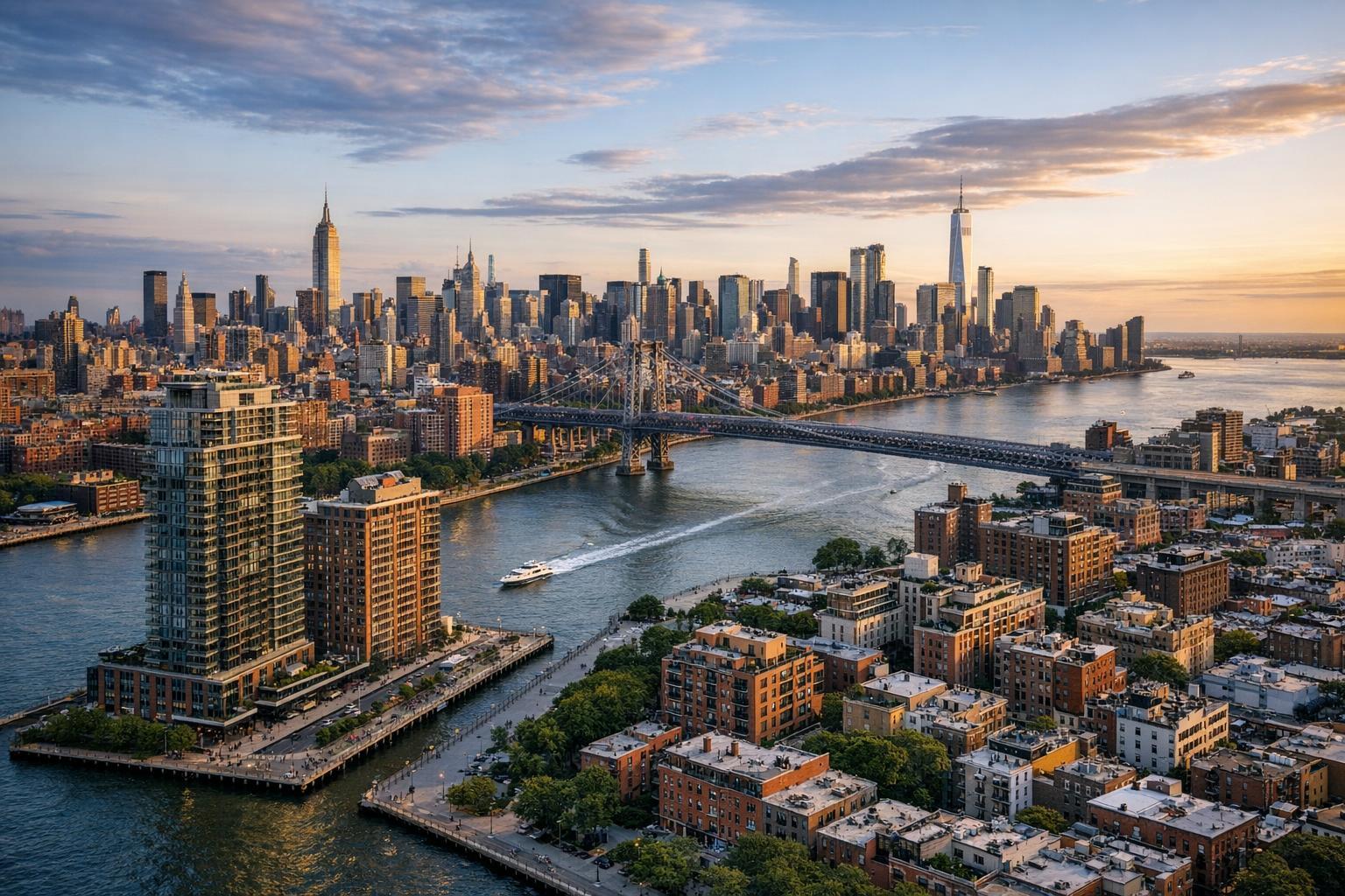
Drone photography captures a stunning aerial view of NYC's skyline and the East River at sunset.

Drone Photography NYC: Revolutionizing Real Estate Marketing with Aerial Perspectives
In today’s digital-first property market, real estate photography in NYC is evolving fast—with drone photography NYC leading the charge. This blog explores how aerial real estate photography is transforming marketing for both residential and commercial listings across Manhattan, Brooklyn, and the city’s most coveted luxury properties. We’ll break down the unique benefits, highlight key trends, and show how working with a qualified drone provider like RealtaSnap ensures your listing stands out in this competitive landscape.
The Problem: Why Standard Photography Can’t Capture NYC’s Essence
New York City real estate is unlike anywhere else in the world—it’s vertical, complex, and visually dense. Standard ground-level photography, while important, often misses the scale, setting, and surrounding cityscape that make NYC properties so desirable. For sellers, this means:
- Iconic views and skyline features get lost.
- Building amenities and rooftop spaces are underrepresented.
- Expansive developments and luxury buildings can’t showcase their footprint or proximity to landmarks.
- Listings blend together online—buyers see the same angles over and over.
In such a crowded market, failing to maximize a property’s visual story can lead to fewer showings, longer days on market, and ultimately, lower sale prices. Without the power of aerial real estate photography, those irreplaceable NYC perspectives—and the emotional buyer connection they create—go untapped.
How RealtaSnap Solves It: Drone Photography Tailored to NYC's Landscape
RealtaSnap provides professional drone photography nyc services that deliver crisp, cinematic aerial imagery—showcasing every property’s place in the city’s signature skyline. With HDR drone photos and 4K video, RealtaSnap’s approach is engineered for both drama and accuracy: highlighting building height, architecture, outdoor amenities, and breathtaking neighborhood context.
Our experienced drone professionals understand the unique regulations, weather, and space constraints of New York. Every shoot leverages advanced drone technology—piloted by FAA Part 107-certified operators—ensuring not only top-tier quality, but also compliance and safety. We capture:
- Sweeping skyline views from Manhattan penthouses.
- Intimate rooftop gardens atop Brooklyn brownstones.
- Panoramic shots of commercial buildings with proximity highlights.
- Luxury mid- and high-rises in their real city context.
Best of all, RealtaSnap integrates aerial content seamlessly with interiors, virtual tours, and floor plans, building a compelling property package for today’s visually-driven buyers.
To see how drone visuals can elevate your listing, visit our NYC drone photography gallery.
Benefits of Choosing RealtaSnap:
- True 4K and HDR drone imaging for stunning detail in every photo.
- FAA Part 107-certified pilots experienced with NYC airspace.
- Seamless scheduling and rapid 24-hour turnaround on edited aerials.
- Integrated media packages—including drone, interior, and virtual tours.
- Neighborhood mapping to highlight amenities, green spaces, and waterfronts.
- Blue sky replacement for consistently vibrant, attractive visuals.
- A la carte pricing for drone photos, videos, or bundled content—example: 10 aerial photos for $209, 1-minute 4K drone video for $229, or both for $299.
- Available across all NYC boroughs and key neighborhoods.
All prices and information are subject to change. Information is deemed reliable but not guaranteed.
Comparison with Competitors: Why RealtaSnap Excels in NYC Drone Photography
While many photographers offer drone shots, RealtaSnap’s expertise is rooted in NYC’s distinct environment. Here’s where we go further:
- Faster Delivery: All content—photos and video—is professionally edited and delivered within 24 hours, streamlining your time to market.
- Better Quality: Professional gear, seasoned city pilots, and careful editing ensure sharp, vibrant images and smooth 4K footage.
- Superior Client Experience: Online booking, transparent pricing, and NYC-specific aerial strategies take the guesswork out of every project.
- Regulatory Savvy: Drone operations in NYC demand strict compliance; RealtaSnap’s pilots are fully certified and assess fly zones with every assignment, safeguarding your listing and peace of mind.
Unlike slower, less specialized providers, RealtaSnap tailors every shoot for maximum market impact—and our local expertise means more unique shots and fewer roadblocks. Explore all real estate drone services here.
Where Drone Photography Delivers Maximum Value in NYC
Manhattan Skyscrapers and Condos:
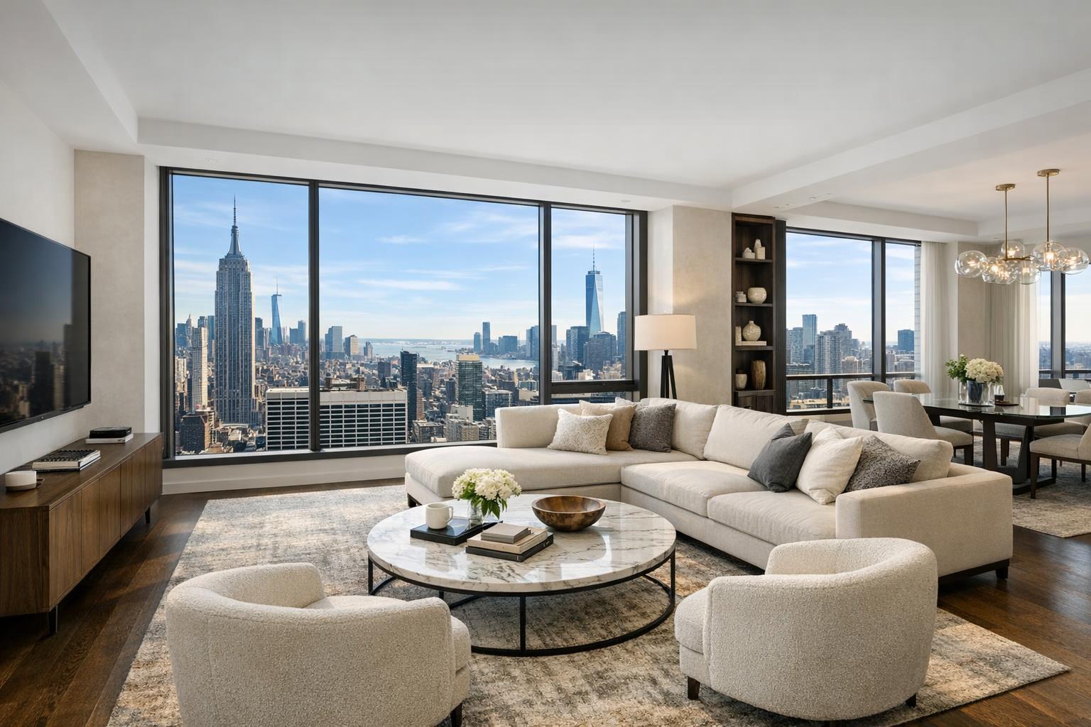
Drone shots maximize penthouse views, showcase rooftop amenities, and put luxury towers in context with Central Park, the Hudson River, and city landmarks.
Brooklyn Brownstones and Townhomes:
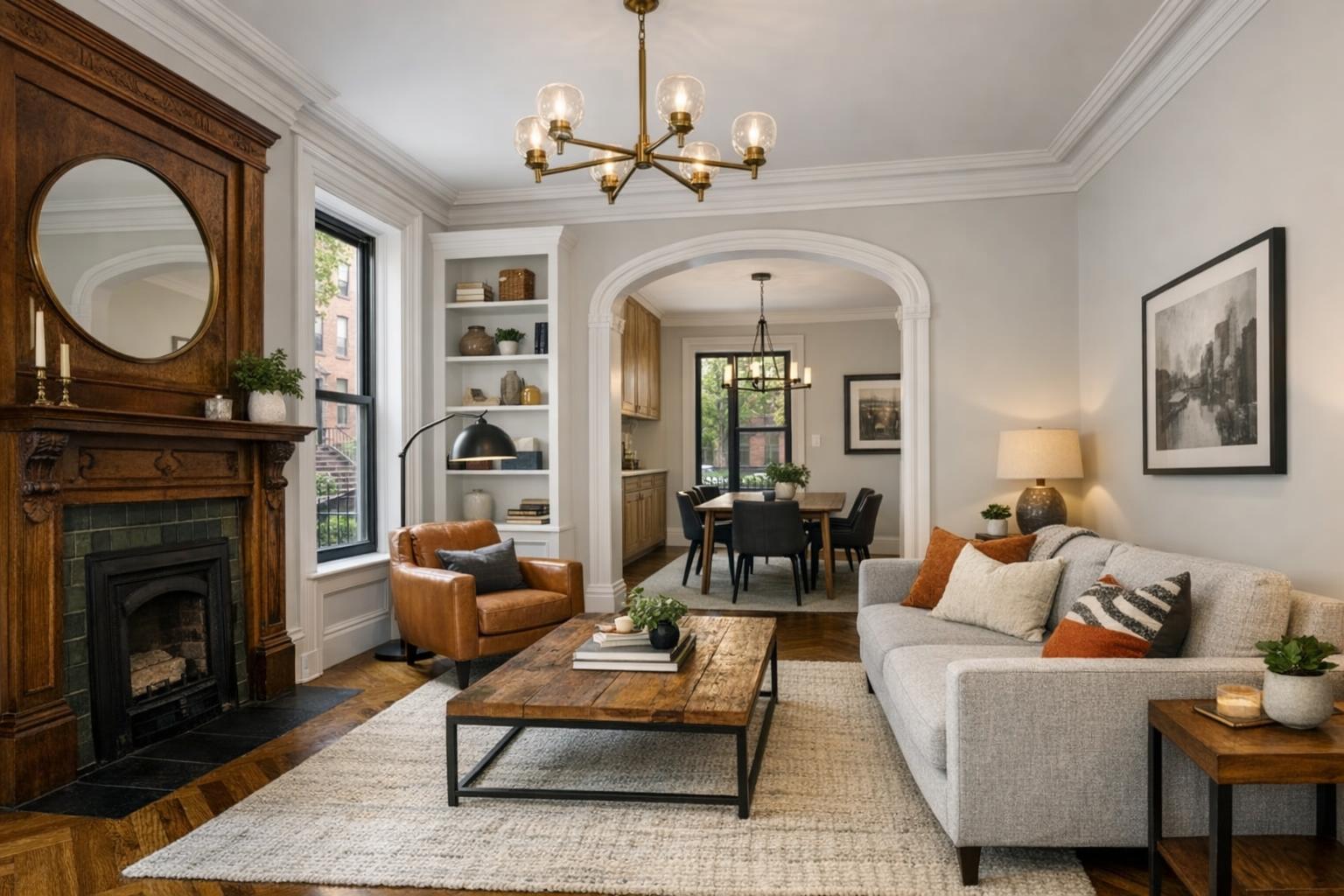
Highlight historic blocks, garden spaces, and proximity to vibrant neighborhoods with sweeping overhead perspectives.
Luxury Developments:
Aerial content is a must for showcasing amenity decks, pools, and green spaces—helping buyers visualize lifestyle, not just square footage.
Commercial and Mixed-Use Properties:
Demonstrate accessibility, parking, transit, and neighborhood scale with dynamic aerial mapping.
Recent Trends in NYC Real Estate Drone Services
Drone usage is surging as marketing shifts from static, in-person showings to dynamic online experiences. Key trends include:
- Integration with 3D virtual tours and floor plans for “walk-through” effect.
- Highlight reels cut specifically for Instagram, TikTok, or property trailers—optimized for mobile buyers.
- Demand for neighborhood and “lifestyle” shots showing parks, dining, and local attractions.
- Use of drone video for luxury listings, new developments, and branded social content.
Aerial imagery isn’t just an add-on—it’s a must-have for standing out and providing buyers a full sense of place.
Best Practices: Making Aerial Photography Work For Your Listing
- Work with Certified Pilots: Only FAA-certified operators should fly in NYC. Safety and compliance protect your listing and reputation.
- Obtain Rooftop Access: For high-rise or dense neighborhoods, roof access means safer flights and more immersive angles.
- Plan for Weather and Light: Mornings or late afternoons offer the best natural lighting for aerial real estate photography.
- Bundle Media for Maximum Impact: Combine drone shots with virtual tours, interiors, and floor plans for a cohesive, high-converting listing package.
- Leverage Neighborhood Features: Use aerials to “map” proximity to transportation, schools, parks, and amenities—appealing directly to buyer priorities.
How Aerial Content Complements Your Real Estate Media
Aerial real estate photography shines brightest when integrated into a full media suite. Drone footage pairs beautifully with:
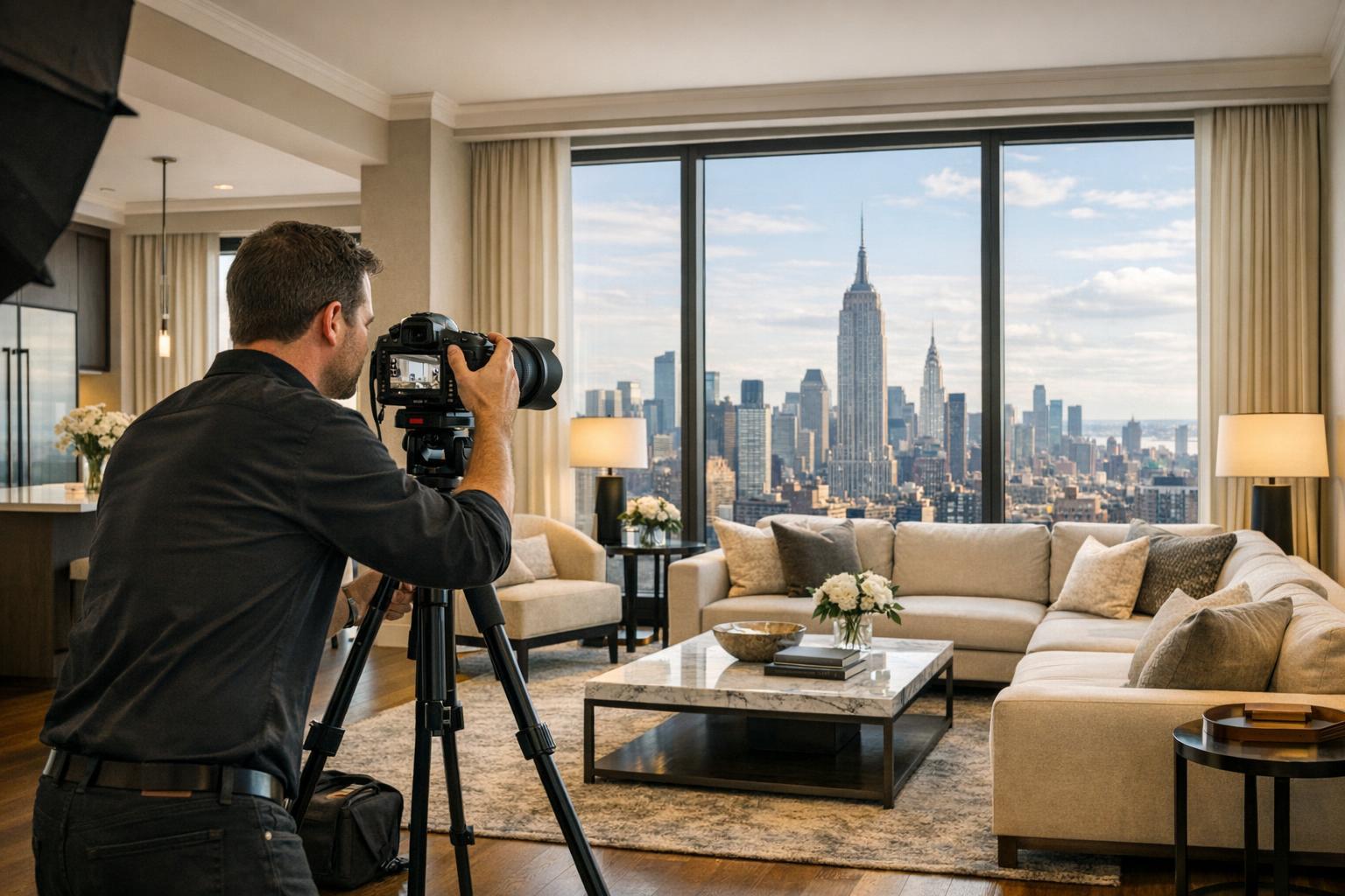
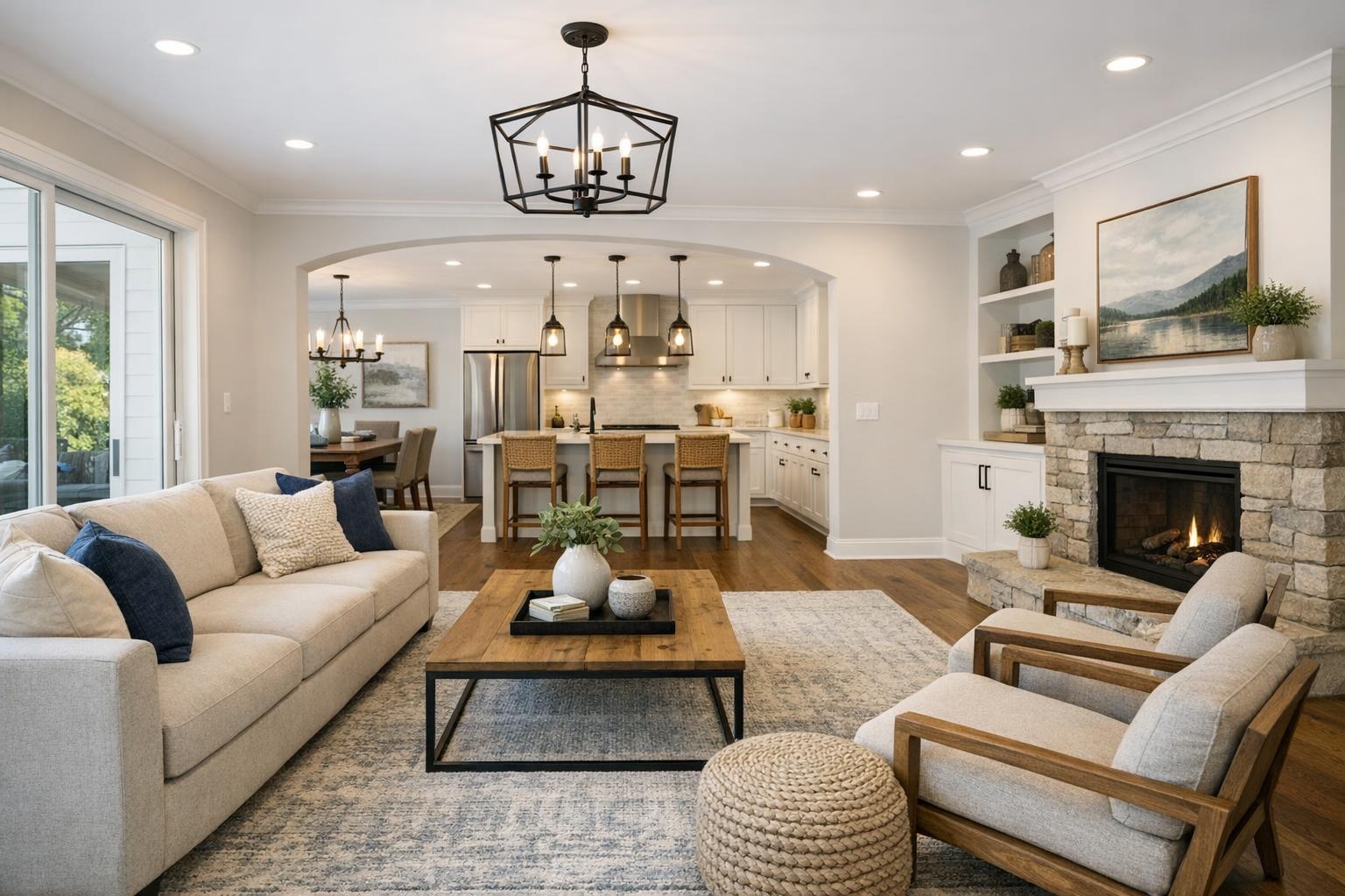
- Interior Photography: A seamless transition from street-level and aerial views into bright, welcoming interiors builds curiosity and emotional engagement.
- Virtual Tours: Aerial “entry” shots can open a 3D tour, giving buyers a preview of both building and surroundings.
- Social Media Videos: Drone reels are perfect for Instagram trailers and TikTok teasers—catching buyer attention in moments.
- Custom Floor Plans: Overhead imagery contextualizes layouts, amenities, and site features.
With RealtaSnap, your visual marketing moves from basic photos to a curated, immersive property experience.
Conclusion & Call to Action: See NYC Differently with RealtaSnap
Drone photography in NYC is more than a trend—it’s the new standard for real estate listings that demand attention and deliver faster results. Whether you’re marketing a Midtown penthouse, a Brooklyn brownstone, or a luxury development, aerial content creates views and value that ground-level photos simply can’t match.
Ready to see how RealtaSnap’s drone photography can transform your next listing? Browse our drone photography and videography for NYC real estate to see examples and learn more about elevating your marketing.
Frequently Asked Questions
1. Is drone photography really necessary for NYC real estate?
It might seem like a luxury, but standard photos often miss NYC’s signature views and building context. RealtaSnap’s aerial content ensures buyers see the full scope of your property, helping listings stand out and sell faster.
2. Aren’t drones hard to use in NYC because of regulations?
Many agents worry about restrictions. RealtaSnap’s FAA-certified pilots manage all regulatory and airspace evaluations, so you get safe, compliant drone shots every time.
3. Does aerial real estate photography add much value if my building isn’t a skyscraper?
Even for smaller properties or low-rise buildings, aerial imagery showcases unique angles, outdoor spaces, and neighborhood appeal. RealtaSnap brings these features to life, boosting every listing’s visual story.
For more on advanced marketing and real estate drone services in NYC, visit www.realtasnap.com.