How to Choose Drone Photography Near You for a Real Estate Listing
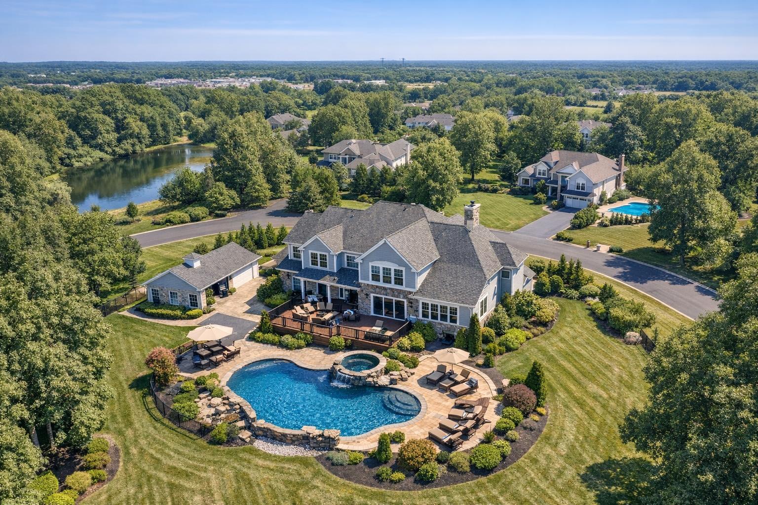
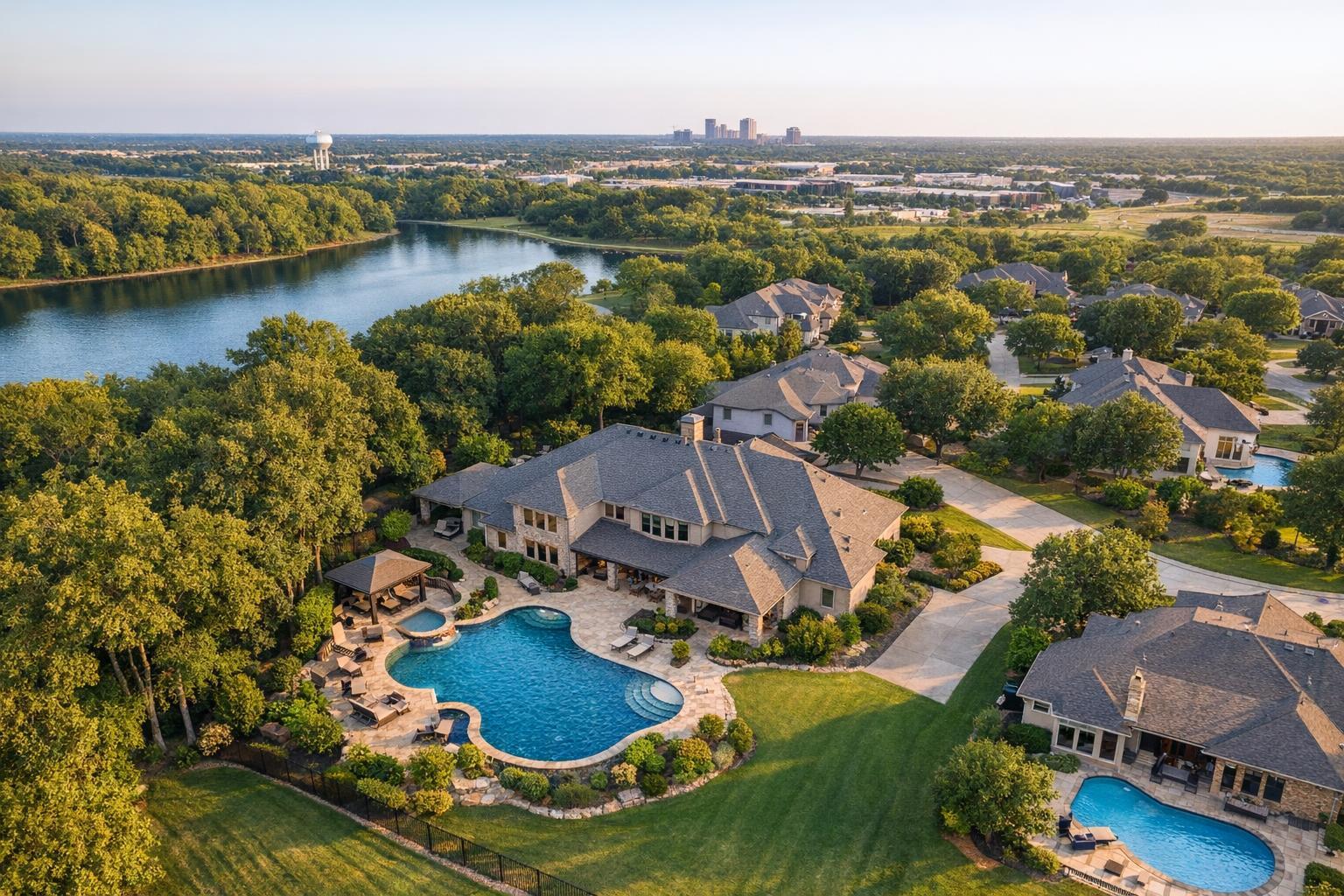
Drone photography near me captures expansive suburban homes surrounded by lush trees and a serene lake, with a distant skyline on the horizon.
How to Choose Drone Photography Near You for a Real Estate Listing
If you're searching for drone photography near me, you’re likely weighing real-world questions: Does aerial media make sense for this property? And just as important, is a drone flight actually possible—and legal—at this location? Not every listing benefits from drone coverage, but for the right context, aerial visuals can be a powerful way to show more than ground-level photos or video ever could.
Let's walk through what agents, property managers, and developers in New York City and New Jersey should consider before hiring a drone provider, where aerial photography adds real context, and how to set up a smooth shoot.
Does This Listing Actually Need Drone Footage?
Aerial property photography isn’t a one-size-fits-all solution. The first step is thinking about the story you’re trying to tell. Are there specific features about the property—land, water, unique views, roof amenities, or overall layout—that simply can’t be captured from the ground?
Drone images work best when they answer real questions buyers, tenants, or investors might have, such as:
- How much land surrounds the home?
- Is there a clear connection from the property to parks, water, or city highlights?
- Can the viewer easily see the scale of outdoor amenities, decks, or parking areas?
- For commercial sites, how is access, parking, or site circulation laid out?
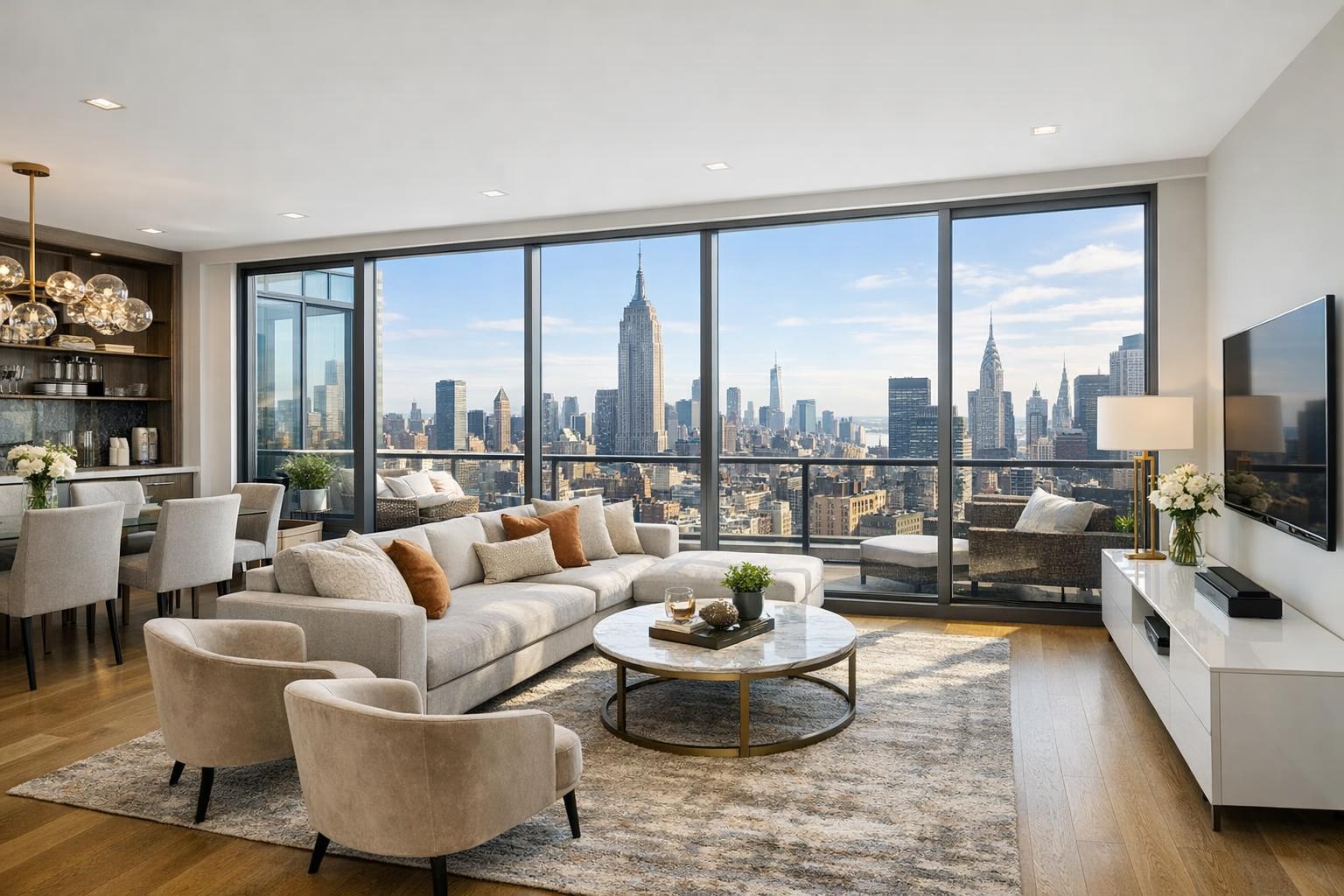
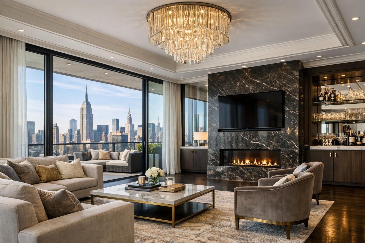
If your listing is a Manhattan condo with an eye-catching rooftop terrace, or a New Jersey home sitting on a deep lot with a pool, drone visuals can clarify what makes the property special. Waterfront residences, marinas, or buildings with skyline views may also benefit from a higher vantage point. On the other hand, interior-focused apartments without an outdoor story likely don’t need aerial media at all.
When Drone Photography Adds Real Value
The most effective aerial images reveal something buyers would have a hard time seeing otherwise. Here’s where drone work often shines:
- Large yards and landscaped grounds: Show how outdoor spaces relate to the structure.
- Waterfront or shore properties: Make it clear how close the property sits to water, beaches, or marinas.
- Rooftop amenities and skyline views: Highlight roof decks, terraces, or lounges with a city or river backdrop.
- Commercial and development sites: Show building footprints, parking, multiple structures, access, or neighboring uses.
- Homes and sites with multiple structures or features: Put everything in context—guest houses, garages, gardens, or play areas.
Aerial photos are most helpful when viewers need perspective: how outdoor amenities connect, where commercial sites sit in a neighborhood, or how an estate’s acreage shapes the experience.
Not All Locations Are Created Equal
Choosing a drone provider isn’t just about finding someone nearby. Location—and all its challenges—matters even more.
Working in NYC vs. New Jersey
In New York City, especially in Manhattan and the boroughs, dense development, busy streets, heliports, airports, and tight spaces can seriously affect what’s possible. Roof access might be required, airspace could be tightly controlled, and safety or legal requirements can shift from block to block.
In contrast, much of New Jersey offers bigger lots and more open sky. Suburban homes, waterfront properties, and large commercial sites are often more accessible, but weather, proximity to airports, and on-the-ground obstacles like roads or power lines still play a role.
A good drone provider won't just ask for your address—they'll actually review the property environment to provide a real answer about feasibility.
What Makes a Drone Flight Possible—or Impossible
Professional real estate drone work can’t be booked on autopilot. There’s a web of rules and on-site logistics. Feasibility depends on factors like:
- Airspace classification and whether special FAA authorization is needed
- Local regulations or building management rules
- Weather and visibility, plus possible last-minute changes
- Safe spaces to take off and land
- Proximity to crowds, buildings, traffic, or obstacles like power lines
- Required access (especially for rooftops or secured properties)
- Temporary restrictions, such as events or construction
- Final safety assessment by the pilot
Even when aerial work is technically possible, some sites may require municipal or NYPD permits that are outside a drone provider’s scope—client coordination is required in those cases, and some assignments may be declined when required permitting isn’t feasible.
Booking aerial media should always involve upfront planning, not a rushed add-on.
What to Ask Before You Hire a Drone Provider
A strong provider does more than show off portfolio images. They should help you figure out if drone media is the right fit for your specific address and listing story.
Consider these questions:
- What specific exterior or land feature will be shown from the air?
- Has the provider reviewed the property’s location for likely airspace or access issues?
- Is this shoot for real estate marketing—or a different purpose, like inspection or engineering?
- What does the package include—photos, video, both?
- How are weather delays or non-flyable dates handled?
- Who makes the final call on flight safety and compliance?
- Are there building rules, gate codes, or roof access needs the client should handle ahead of time?
Providers who guarantee they can fly anywhere without seeing your address and details may not be fully honest about what's involved. Sharing property details up front—like roof access instructions or notes about nearby construction—also helps prevent unnecessary delays.
Choosing Photos, Video, or Both
How you plan to market the property should drive your choice between photos, video, or both:
- Aerial photos work best for MLS listings, property sites, and marketing materials that need a few standout still images.
- Aerial video helps tell stories with movement, like a flyover approach to a waterfront home or a smooth sweep around a commercial building.
- Photo plus video packages make sense when you’ll be using different formats across platforms—images for print and online galleries, video for listing films or social sharing.
At RealtaSnap, drone photos include 10 professionally edited HDR images, with blue-sky replacement available. Drone video services deliver a 60-second 4K edited video. If your listing needs both, the package includes 10 images and a minute of aerial video. As of now, drone photos are priced at $209, video at $229, and the full package at $299.
For listings that also require room-by-room video, pairing interior ground video with exterior aerials is often the most compelling approach. Each format adds distinct, complementary context.
Setting the Stage: Preparing Your Property
Aerial media can reveal details—and distractions—that aren’t as noticeable at eye level. Before your shoot:
- Move cars out of driveways or parking areas if possible.
- Store bins, equipment, hoses, and anything temporary outside.
- Clean up around pools, patios, decks, and outdoor spaces.
- Confirm access to rooftops, gates, or other areas you want to feature.
- Let property management or staff know about scheduled access needs.
- Check for nearby construction, cranes, or upcoming events.
Prepping the exterior ensures your aerial images support the listing rather than drawing eyeballs to clutter.
Finding a Local Drone Provider for NYC and New Jersey
If you’re marketing real estate in NYC or New Jersey, local expertise matters. Every address brings a different set of airspace rules, neighborhood features, and access challenges. A provider who actively reviews each job site—rather than just plugging an address into a map—will give you a clearer, safer, and more reliable outcome.
RealtaSnap offers drone photo, video, and combined packages for appropriate residential and commercial listings throughout New York City and New Jersey. Each shoot is individually evaluated for feasibility, considering regulations, safety, and access. You can check availability and book services online at RealtaSnap’s booking page.
When drone imagery fits, it pulls the whole listing together. For dense urban spots or tough airspace, an address review is step one. If you have a project with land, water, a showpiece rooftop, or commercial scale, drone media might provide exactly the perspective you’ve been missing.
Ready to plan drone coverage that matches your property? Visit www.RealtaSnap.com to get started.
FAQ
Question: Can I use drone photography for every property in NYC or New Jersey?
Answer: Not always. Feasibility depends on airspace, weather, property access, local regulations, and safety conditions. In tighter spots like Manhattan, some listings may not be eligible for a safe or legal flight—even when there’s rooftop access.
Question: How do I know if my property is right for drone photos or video?
Answer: Consider whether an aerial perspective will help viewers understand something ground photos can’t show—like land size, waterfront access, or building layout. If your listing doesn’t feature exterior amenities, open land, striking context, or unique roof features, traditional photography might tell your story more clearly.
Question: How soon in advance should I book drone services for my listing?
Answer: RealtaSnap requires at least 24 hours’ notice for online booking, and any available slot on the calendar is bookable. However, providing full property details and access notes early helps ensure a smooth experience, especially for addresses with unique airspace or scheduling needs.