How to Choose Drone Photography Near Me for a Real Estate Listing
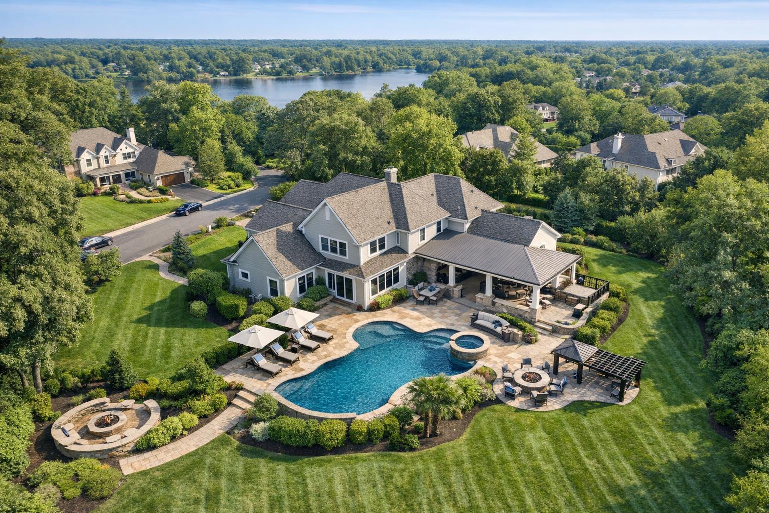
Aerial drone photography captures a luxurious home with a beautiful pool, landscaped gardens, and surrounding greenery.

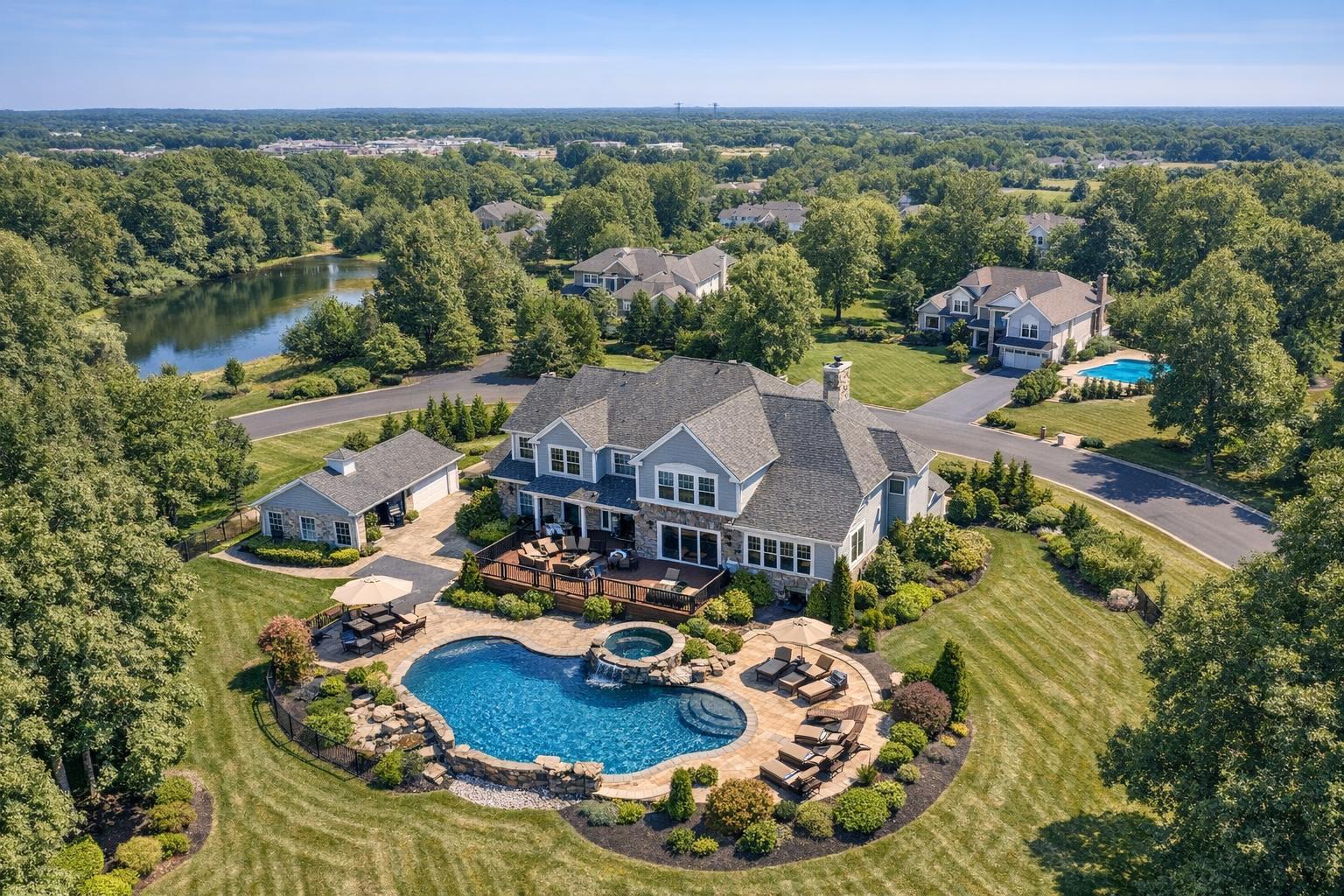
How to Choose Drone Photography Near Me for a Real Estate Listing
Looking for drone photography near me often means you’re ready to show off a property from a higher perspective—but figuring out if it’s the right fit for your specific listing isn’t always as simple as booking the closest pilot. If you’re an agent, owner, or developer in New York City or New Jersey, local laws, property features, and even the weather all play a big role in whether aerial imagery can help you tell the story of a home or commercial space. Here’s how to evaluate if drone coverage makes sense, what to expect from a professional real estate aerial photographer, and what makes the NYC and NJ market a bit different.
Should You Add Aerials? Start with the Property—Not Just the Drone
A lot of agents default to adding drone shots to every media package, but aerials work best when they answer a specific question a buyer or tenant might have. Think about what your standard gallery of ground-level photos might leave out. Is there a feature that benefits from added context, like:
- Large lots or landscaped yards
- Pools, patios, or roof decks
- Waterfront, river, marina, or beach frontage
- Unique building shape or exterior details
- Park or skyline views
- Corner locations, gated entries, or long driveways
- Commercial sites with multiple access points or parking
- Development land where the surroundings matter
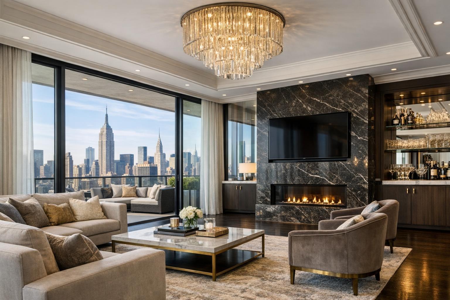
If your property’s strongest points are its interior layout or a newly renovated kitchen, drone media probably won’t add much. But for a New Jersey house with a backyard oasis, or a Manhattan penthouse with a private terrace and sweeping skyline views, one or two well-planned aerials can paint a much clearer picture.
What Makes a Real Estate-Savvy Drone Photographer?
Not every drone operator is ready to create listing-ready real estate media. It’s easy to take dramatic overhead shots, but it’s harder to weave those into a gallery that actually helps explain a property.
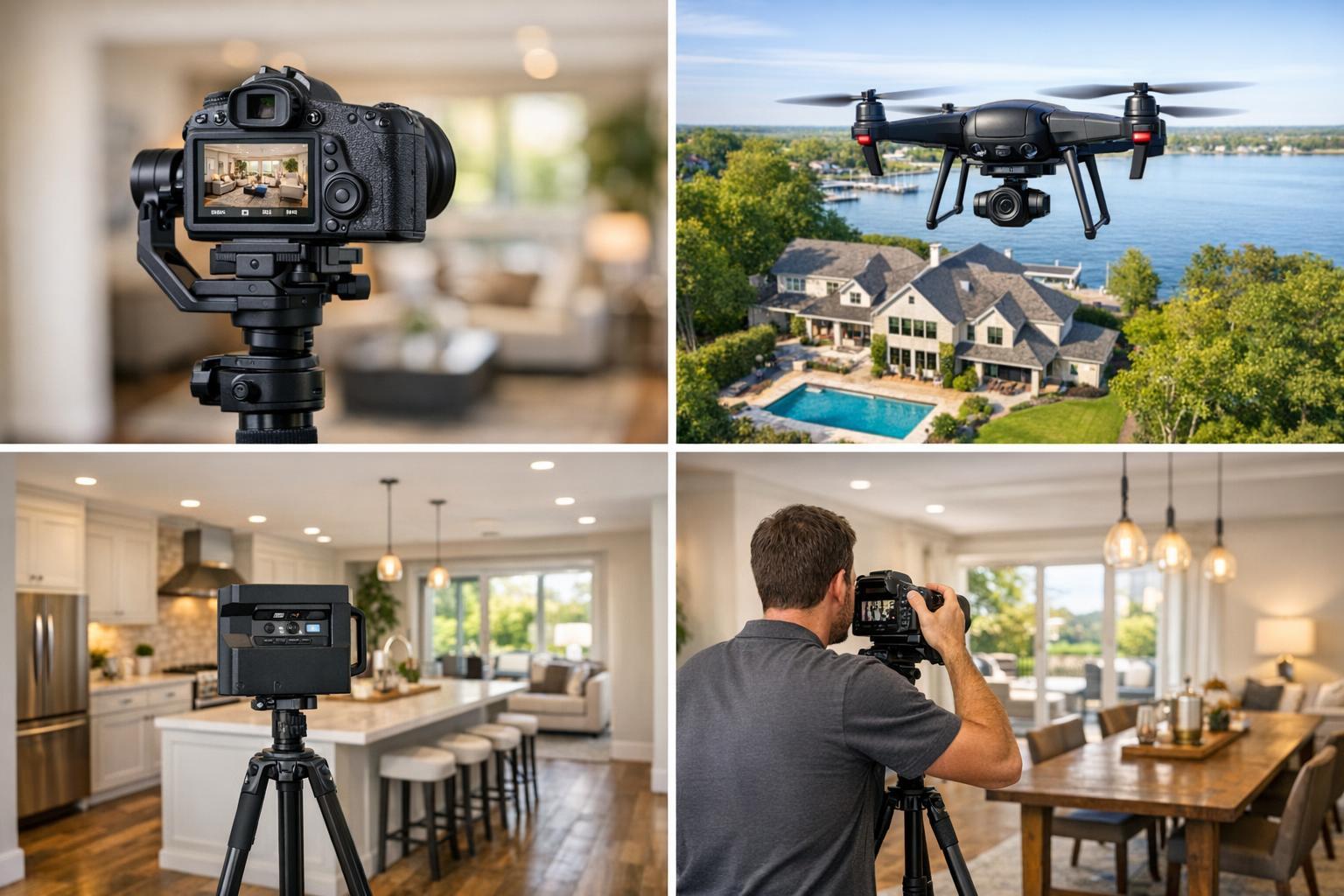
A good real estate aerial photographer will:
- Understand how drone stills fit with traditional photos, video, floor plans, and 3D tours
- Aim to add context, not just visual flair
- Communicate clearly about what’s possible based on access, local rules, and safety
- Plan for editing that matches the look and tone of your other marketing materials
Ask potential providers how they approach aerial coverage for properties like yours. If you only need a couple of shots—a main “hero” exterior, a view highlighting the water or park next door, or a photo showing the full lot—they should be able to suggest specific angles that make sense for your listing, not just offer a batch of random overheads.
NYC and NJ: What Makes Drone Shoots Challenging
If you’re marketing a listing in New York City, searching drone photography NYC will show plenty of results. But the reality on the ground is that dense streets, airports, special airspace zones, fluctuating weather, and strict building access rules make drone work far more challenging here than in wide-open suburbs. The same goes for many parts of New Jersey, especially near airports or along crowded waterfronts.
Drone flights must be evaluated case by case and can depend on:
- FAA and local airspace requirements
- Weather, wind, visibility, and temporary restrictions
- Safe (and legal) launch and landing zones—sometimes requiring roof access
- Site activity: pedestrians, vehicles, neighbors, or busy streets
- Building management rules and logistics
- The pilot’s own professional assessment
Sometimes everything looks feasible until the day of the shoot, only for conditions or access rules to make flight unsafe or noncompliant. That’s why reputable drone photographers in NYC and NJ discuss logistics ahead of time and reserve the right to cancel or adjust coverage if conditions aren’t right.
If your property requires permits from the city, police, or other agencies, it’s important to know that providers like RealtaSnap generally do not handle that paperwork. Discuss responsibilities upfront.
Drone Stills or Aerial Video—What’s the Right Fit?
Not every project needs both types of drone media. Think realistically about what will add value to your marketing gallery.
- Choose drone photography if you need to show context (land size, outdoor features, building footprint, views, proximity to water or parks) and want flexible images that can work as gallery openers or supporting shots.
- Add aerial video when dynamic movement helps tell the story. For example, a sweeping shot pulling up from a roof deck, or a cinematic approach along a long driveway.
- Consider both for listings with extensive grounds, multiple exterior highlights, or high-value outdoor amenities.
Comparing Drone Providers: What to Ask
Picking a provider isn’t just about finding someone close by. Here are some questions to help you narrow it down:
- How much real estate aerial photography do you create, versus general drone work?
- What property features would you focus on from the air?
- Do you recommend just photos, video, or a combination?
- How do you check the feasibility and safety of flying at this address?
- What happens if site conditions or weather make it impossible to fly that day?
- Can you coordinate drone work with the rest of my listing photo or video session?
- Are there access or building rules I should arrange ahead of time?
- Are your drone shoots strictly for marketing media (not insurance or inspection)?
Direct, transparent answers are a good sign. Watch out for anyone who promises flights anywhere, anytime, without first reviewing your specific address and needs.
Getting Ready for a Successful Drone Shoot
Preparation helps everything go more smoothly. Here are a few basics:
- Make sure the exterior is clean, and remove vehicles or clutter as you would for traditional listing photos.
- Secure or tidy up patios, decks, and pools.
- Confirm any access details—gates, rooftop doors, or codes—with your photographer in advance.
- If shooting in a city building, see if management needs advance notice or allows roof access.
Avoid Overdoing It: Keep Drone Media in Proportion
A handful of well-composed aerials can give buyers a better sense of scale and surroundings, but galleries overloaded with drone shots can make it harder for viewers to focus on the actual living spaces. Use aerial content to set the stage—then let your ground photography, floor plans, and other media do the heavy lifting inside.
Working with a Local Specialist: RealtaSnap in NYC and New Jersey
For property listings in eligible locations across all five New York City boroughs and throughout New Jersey, RealtaSnap offers tailored drone photo, video, and combined packages. Drone services start at $209 for 10 HDR images, $229 for a one-minute 4K video, or $299 for both—always captured and edited for professional real estate marketing. Bookings are evaluated individually for airspace, weather, safety, and access, and not every location or day will be flyable.
You can view available drone photography and video services or start a booking online. Listing address and clear access notes make the initial review easier for all parties.
The most important question: Will an aerial perspective help buyers or tenants understand something they can’t see from street level? If you have a strong yes, a well-rounded provider like RealtaSnap can capture just what you need without overwhelming your gallery.
To discuss options or book real estate drone coverage, visit RealtaSnap’s homepage.
FAQ
Question: Does every property benefit from drone photography?
Answer: No. Drone imagery is most valuable when the property’s strongest features are outdoors: large yards, water views, rooftop spaces, notable architecture, or surrounding green space. Listings without meaningful exterior features might be better served by polished ground photos and other media.
Question: Can drones fly anywhere in NYC or New Jersey?
Answer: Not everywhere. Airspace restrictions, weather, building access, and city rules all play a role. Sites are reviewed individually—especially in dense areas or near airports—and some projects may not be safely flyable on a given day.
Question: What do I need to do before a drone session?
Answer: Prepare the property exterior as you would for listing photos, and make sure access instructions are clear. Remove vehicles and clutter when possible, tidy outdoor areas, and confirm rooftop or special gate access with your provider ahead of the shoot.
Ready to get started or just curious what’s possible? Visit www.RealtaSnap.com.