When Is Drone Photography Worth Adding to a Real Estate Listing?
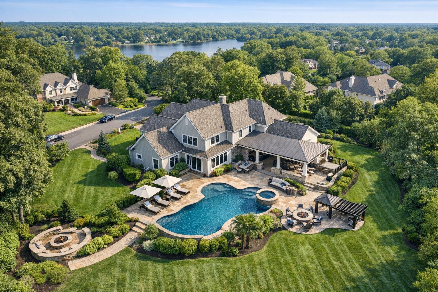
Aerial drone photography captures a luxurious estate featuring a beautiful house with a swimming pool and lush landscaping, set in a scenic neighborhood near a lake.

When Is Drone Photography Worth Adding to a Real Estate Listing?
Drone photography real estate services have become a go-to add-on for many NYC and New Jersey agents, but the reality is a bit more nuanced: aerial images or video are most valuable when they actually help buyers or tenants understand something about a property that ground-level media simply can’t show. If you’re weighing whether to include drone coverage for a listing, it’s all about context, clarity, and feasibility, not just novelty.
Why Use Aerial Real Estate Photography?
Professional ground-level photography—sharp interiors, striking exteriors, crisp video—remains the foundation of effective marketing. But sometimes, the big picture really does require a higher viewpoint. Aerial real estate photography stands out in cases where the layout, scale, or setting are meaningful. Think about:
- Properties with larger, irregular, or landscaped lots
- Waterfront, lakefront, or riverfront homes
- Estates, corner lots, or houses set back from the road
- Sites with significant amenities like pools, gardens, or courtyards
- Proximity to parks, golf, trails, marinas, or business hubs
- Commercial listings needing to highlight layout, parking, or access
A drone image can instantly reveal relationships that no number of ground-level photos can: Is there a pool behind the house, or a hidden garden? How close is the beach, or where exactly is the nearest transit? For commercial and development projects, aerials can show building placement, parking, access roads, and the connection to the larger neighborhood.
When Drone Media Makes Sense
Not every property benefits equally from drone coverage. Here are some of the listing types where adding aerials is often worth serious consideration:
1. Detached Homes With Meaningful Land or Outdoor Space
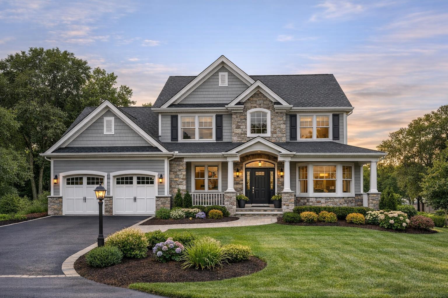
A home set on a deep or wide lot, one with a pool, a big patio, or a guest house? Drone photography can help viewers understand how the house is oriented, where the features are, and how usable the outdoor areas look in relation to one another.
Consider drone coverage if a home includes:
- Extensive yards, landscaped grounds, or multiple structures
- An unusual roofline, L- or U-shaped footprint, or wraparound amenities
- Location bordering natural or recreational areas
- Private driveways, gated entries, or approach lanes
2. Waterfront, Shore-Area, or Parkside Listings
For properties where the view, access to water, or adjacency to a park are part of the selling story, an elevated image can make all the difference. Is the property right on the waterfront, or tucked behind another lot? How far is the dock, marina, or trailhead? Aerials reveal connections at a glance.
3. New Construction & Development Sites
Whether it’s a single new home, a townhouse enclave, or a larger planned development, aerial photography quickly communicates the project’s layout, position in the area, completed versus planned features, and how residents will enter or exit the site. For these listings, drone video can also add movement and orientation for online viewers.
4. Commercial and Investment Properties
For retail, office, warehouse, or multi-family listings, site context often drives value. Drone imagery can help show:
- Parking size and layout
- Loading and service areas
- Building orientation and campus relationships
- Visibility and access from major roads
- Adjacency to transit, business corridors, or other developments
The right drone shot answers practical questions for investors and tenants in a way traditional ground-level images rarely can.
Where Drone Coverage May Add Little Value
There are listings where drone photography is unlikely to provide meaningful context—or where restrictions make flight impractical. You may want to skip the aerial package if:
- The property is a condo or co-op with no special outdoor element
- The home sits on a tightly packed city lot, surrounded by similar structures
- The main story is interior upgrades or flow—not location or land
- Visual context, such as neighboring buildings, could be distracting
- There’s limited space for a safe, legal takeoff, or airspace restrictions prevent drone flights
In dense city neighborhoods—especially Manhattan, much of Brooklyn, Jersey City, and other urban areas—safety, privacy, and FAA rules may limit or prohibit drone flights altogether. Even if the rules allow it, sometimes the result is simply a roof shot with neighboring buildings crowding the frame. In those cases, interior photography, a well-designed floor plan, and on-site video often provide more value.
That said, there are exceptions: apartments with dramatic skyline terraces or rooftop amenities may still benefit from a carefully planned aerial if it’s safe and possible to capture.
What an Aerial View Can Add to Your Listing
It’s not about adding drama for drama’s sake. The best aerial photography for real estate serves to:
- Clarify the property’s boundaries, footprint, and orientation
- Show outdoor features and relationships that are otherwise hidden
- Situate the home or business in relation to parks, beaches, commerce, or transit
- Explain the approach or entryway, especially for larger or gated parcels
- Offer a sense of scale for developments or multi-building sites
Aerials support the listing’s marketing by giving buyers and tenants the context they need to make informed decisions.
Drone Stills, Video, or Both?
The choice depends on the property and the story you want to tell.
- Still images deliver clear, quickly digestible context. They work well in listing galleries, print pieces, and property websites.
- Aerial video adds movement and flow, perfect for sprawling grounds, waterfront approaches, or large commercial projects. Video can be woven into on-site listing videos as an opener or a transition for additional orientation.
A couple of well-chosen images or a purposeful drone video clip is more useful than dozens of repetitive angles. As always, every aerial should answer a question for your audience.
Drone Feasibility in NYC & New Jersey: Reality Check
In New York City and many parts of New Jersey, flying a drone is not as simple as booking a standard photo shoot. Several factors affect flight feasibility:
- Airspace restrictions: All flights must comply with FAA rules. Some areas, particularly in Manhattan, are highly restricted or outright prohibited.
- Weather and safety: Wind, rain, low visibility, or pedestrian traffic can make flights unsafe.
- Site access: A safe takeoff and landing zone is required. Roof access in urban areas can improve the odds, but doesn’t guarantee a flight.
- Pilot discretion: Even with permissions, the final call comes down to on-site conditions and the pilot’s assessment.
For any project requiring special city, police, or event permits in addition to standard FAA authorization, the client is responsible for those permits—which can add time, expense, and uncertainty to the process.
Every drone booking is reviewed individually to ensure a safe, legal, and practical flight plan.
Deciding Whether to Add Drone Media
When evaluating whether to add drone photography to your listing, ask yourself:
- Does the property’s layout, land, or location benefit from an aerial view?
- Will overhead context help buyers visualize the setting or surroundings?
- Is outdoor space, water, or a distinctive amenity a major selling point?
- Is proximity to parks, transit, or commercial districts part of the marketing story?
- Is the address workable for safe and compliant drone flight?
If most of these answers are “yes,” drone media may be well worth the investment. If not, robust ground-level photography and video are usually the best choice.
Planning Aerial Photography With RealtaSnap
For agents and property marketers in NYC and New Jersey, RealtaSnap offers drone media services alongside our core real estate photography and video packages. We look at each address individually—factoring in airspace, access, safety, and the specific features you want to highlight—to determine what’s feasible. Sharing the address early and clarifying your goals helps us assess whether drone coverage can actually contribute to your listing’s story.
You can view more about our NYC and NJ drone photography and videography offerings or see the full range of media services at RealtaSnap.com.
The best time to add aerials is when they explain something the standard camera simply can’t.
If you have a property in mind—and want to know if drone media is an option—we’re always happy to help assess.
FAQ
Question: Is drone photography worth it for a typical city apartment?
Answer: Usually not, unless the unit includes something truly special outdoors like a private rooftop, dramatic terrace, or unobstructed skyline view. Drone coverage is most practical when there’s enough space and context to capture. For most urban apartments, strong interiors and floor plans offer greater value.
Question: What does RealtaSnap charge for drone photography?
Answer: Our aerial photography packages start at $209 for 10 HDR images, $229 for 1 minute of drone video, or $299 for a combo package that includes both. Every drone shoot is reviewed case by case, so feasibility is confirmed before you book.
Question: What do I need to provide for a drone booking in NYC or New Jersey?
Answer: All we need is the property address and a quick note about what you’d like the aerial to show. We’ll handle the assessment for airspace, access, and safety. If city or special event permits are required, those would be your responsibility; we’ll let you know if that’s likely to be the case.