When Is Drone Photography Worth It for a Real Estate Listing?
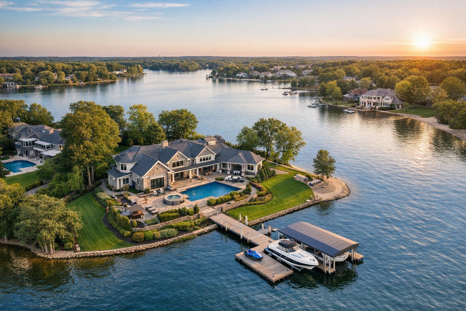
Drone photography captures a luxurious waterfront estate with a spacious lawn, pool area, and private dock on a serene lake during sunset.

When Is Drone Photography Worth It for a Real Estate Listing?
Drone photography real estate is often a game-changer when it comes to providing buyers with visual information that simple ground-level photos can’t deliver. But in the real estate world, not every listing automatically benefits from aerial images. The question isn’t just whether drone photos look impressive—it's whether they actually help tell a more complete story about the property.
What Makes Drone Media Worth Considering?
Some properties shine with a bird’s-eye perspective. If aerial views can quickly answer questions like “How big is the lot?” or “What makes this location special?” then drone media could be a smart investment. On the other hand, if the property's highlights are best captured from the ground, or there’s just not much to show outside, adding a drone shot might not make sense.
Ask yourself: Will an overhead view give buyers a clearer understanding of the property’s setting or key features? If the answer is yes—and you can arrange a safe, legal flight—drone services might add genuine value.
When Does an Aerial Perspective Really Help?
Aerial real estate photography stands out most when it brings important context into a single frame:
- Large or Unique Land Parcels: Got acreage, sprawling yards, or a property layout that’s hard to appreciate from the street? Drone images reveal lot shape, driveways, multiple buildings, or the arrangement between a house and its outdoor spaces.
- Waterfront and Docks: For waterfront properties, seeing the shoreline, private docks, or true distance to water is much easier from above.
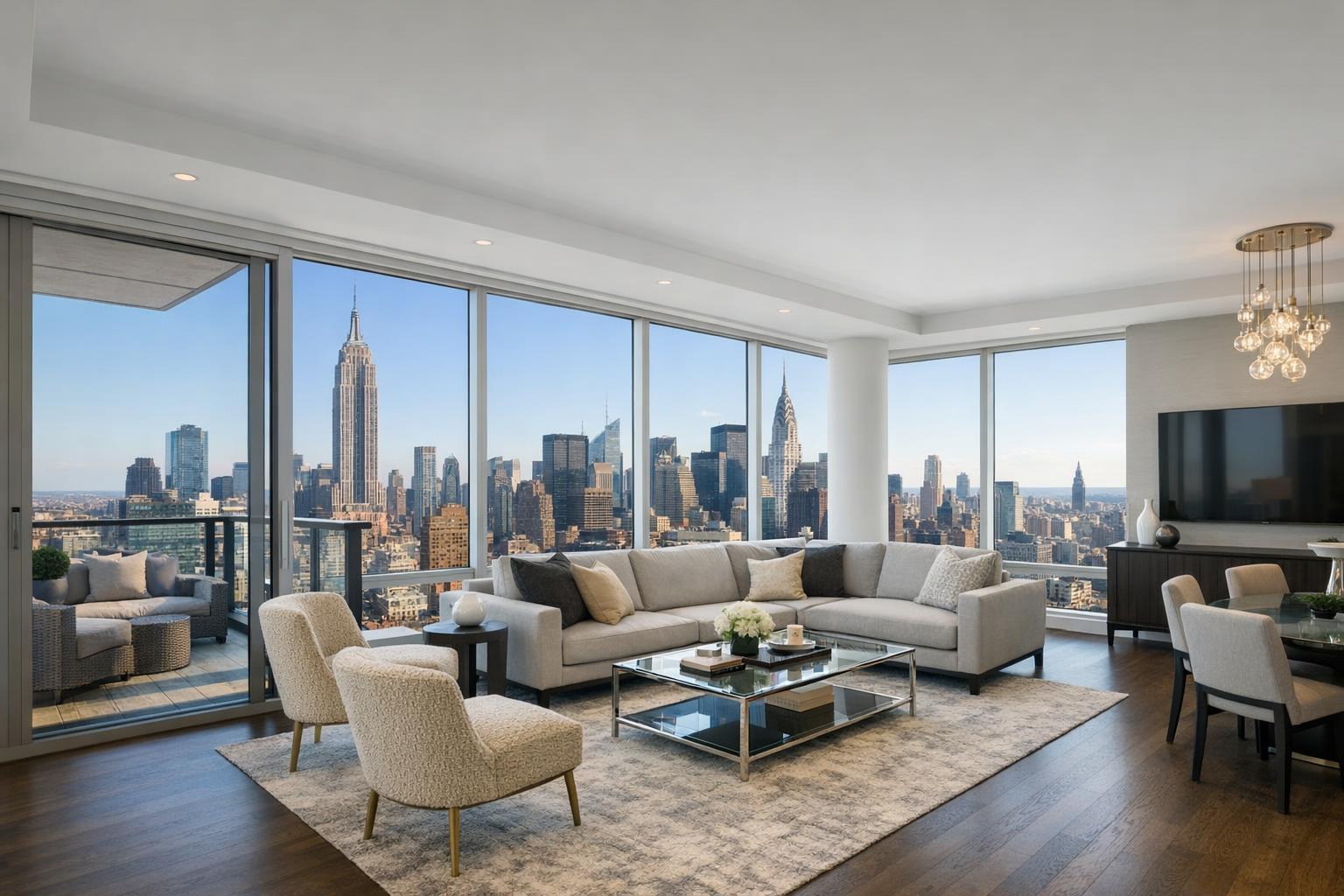
- Rooftop Features: In places like New York City, roof decks or skyline views are precious. Overhead shots can clarify the usable space, show off a terrace, or demonstrate those million-dollar views.
- Architectural Scale: Some homes or commercial properties have unique shapes, complex rooflines, or corner positions that just don’t come through at eye level.
- Proximity to Local Landmarks: Want to showcase how close a listing is to a park, transit hub, or downtown area? Aerials make those relationships crystal clear—when the nearby feature is genuinely close and relevant.
Where Drone Imagery May Not Add Much
Not every listing gets a boost from drone media. For example, many Manhattan apartments or Jersey City condos don’t offer meaningful exterior features that stand out from the air, especially if the building looks just like its neighbors or is surrounded by other tall structures. In these cases, interior photos, well-composed street scenes, or video tours might do more for your marketing.
A drone flight is also less practical in locations where airspace is restricted or access is tight. Crowded, dense urban environments can limit where and how drones can legally and safely fly. When a property’s story is all about the inside, ground-level exteriors often tell it best.
Evaluating Drone Feasibility in NYC and New Jersey
Launching a drone isn’t as simple as showing up with a remote. Drone photography services in New York City and New Jersey require careful planning. Feasibility depends on several factors unique to each property:
- Airspace and Local Rules: Proximity to airports, heliports, sporting events, and sensitive facilities matters. Authorization needs can change from block to block.
- Weather: Wind, rain, and low visibility affect both safety and the quality of the finished photos or video.
- Building and Roof Access: Especially in dense areas, having safe, approved roof access is often the difference between a successful drone shoot and a canceled one.
- Physical Site Access: Getting onto the property or rooftop, coordinating with building management, or clearing other logistical hurdles should be planned in advance.
- Pilot Discretion: Final flight approval always rests with the professional on site, based on real-time weather, airspace, and safety considerations.
Drone service is always handled case by case. Even if you have a great property, the location must make sense for a legal and safe flight.
Aerial Media for Marketing—Not Inspections
It's important to remember that drone media in real estate is about storytelling, not providing technical analysis. Drone photos and videos are perfect for marketing, showing roof layouts, property boundaries, and the surrounding setting. But they should never be used as a replacement for formal inspections, surveys, or engineering reports.
If you need to check a structure’s condition or verify property lines, always consult a licensed professional.
Choosing Between Photos and Video
Deciding whether your property needs aerial photos, drone video, or both depends on your marketing approach:
- Drone Photos: Great for MLS, websites, brochures, and social posts that need just a few impactful images highlighting land, waterfront, rooftops, or location.
- Drone Video: Useful for listings where cinematic movement tells a stronger story—think flyovers of large estates, waterfront reveals, or moving from a roof deck to city views.
- Photo + Video Bundles: Ideal for larger homes, new developments, or commercial sites where both stills and video help buyers understand the scope.
At RealtaSnap, you can choose a package that fits your specific needs:
- Drone Photos: $209 (10 HDR images)
- Drone Video: $229 (1-minute 4K video)
- Photo + Video: $299 (10 photos plus 1-minute video)
All drone projects are evaluated for feasibility, so sharing your property address and access details during booking helps the team assess what’s possible.
Practical Prep and Decision Checklist
Not sure if aerial media is the right addition? Consider:
- Does the property have substantial land, unique outdoor features, waterfront, a roof deck, or access to views?
- Would an overhead view truly add visual clarity or interest for buyers?
- Is the location drone-friendly, or are there significant obstacles (restricted airspace, heavy development, challenging access)?
- Can you provide safe roof or yard access if needed?
- Are you looking for stills, video, or both—and does that fit your marketing plan?
If the answers suggest meaningful benefits and a practical location, drone coverage could be a smart choice.
Setting Up for a Successful Drone Shoot
The best drone shoots are well planned. Before your appointment, decide which exterior features matter most—whether it’s showing a big backyard, getting context on a roof deck, or placing your listing in relation to a park or main road. Share any essential access details so the pilot can plan for roof entry, gates, management coordination, or timing considerations.
If you’re in NYC or New Jersey and weighing your options, RealtaSnap can help you evaluate whether aerial coverage is right for your listing and safely capture impactful marketing visuals when conditions allow. Booking is handled online, and you’ll be able to select drone services as part of the process.
For some listings, drone imagery provides visual context that just isn’t possible from the ground. For others, a focused set of professional photos and video is all you really need. The key is choosing the right tool for your property’s unique story.
To arrange marketing media for your next listing, visit www.RealtaSnap.com.
FAQ
Question: Is drone photography available for listings in Manhattan or Brooklyn?
Answer: It can be possible, but urban locations are always reviewed individually. Factors like airspace, rooftop access, local restrictions, and safety play a huge role. If your listing has a terrace, roof deck, or open views and you can secure roof access, drone media may be feasible.
Question: What should I do to prepare for a drone shoot?
Answer: Start by identifying the exterior features you want to capture—whether it's a roof deck, pool, big lot, or special view. Make sure access arrangements (like gates, rooftop doors, or management permissions) are handled in advance, and share any relevant instructions or timing notes with your media team.
Question: Can drone images be used to inspect the roof or measure property boundaries?
Answer: No. Drone photos and video are intended for marketing use only. They’re great for showcasing the property visually, but they do not replace professional inspections, surveys, or technical documentation.